After getting back to Australia from Europe, I set my sights on trekking the Bibbulmun Track in Western Australia. The track is one of the world’s long distance walking trails, stetching from Kalamunda in the Perth hills, to Albany on the West Australian south coast, a distance of just over 1,000 kms. It would take me approximately two months to complete an End to End, carrying a full pack including all food. There are 9 sections to the Track and you can restock with food at track towns along the way or organise for food drops if you are able to.
So alot of planning was needed, but with Covid, International and State Border closures, coupled with a foot operation, it meant I was unable to get to Perth in West Australia till September 2022. I thought my research was on point, but as I was to find out, I had under estimated the weight of food needed for the first two weeks of the track, from Kalamumda to Dwellingup. This is a distance of approximately 211 kms which would take approximately 2 weeks.
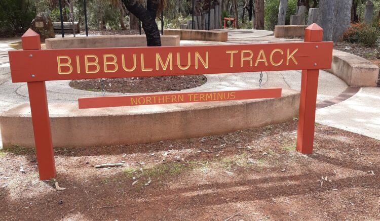
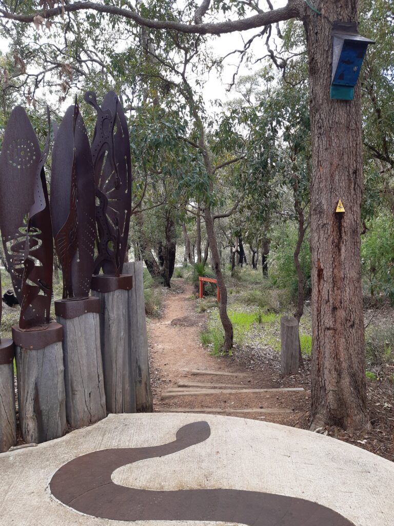
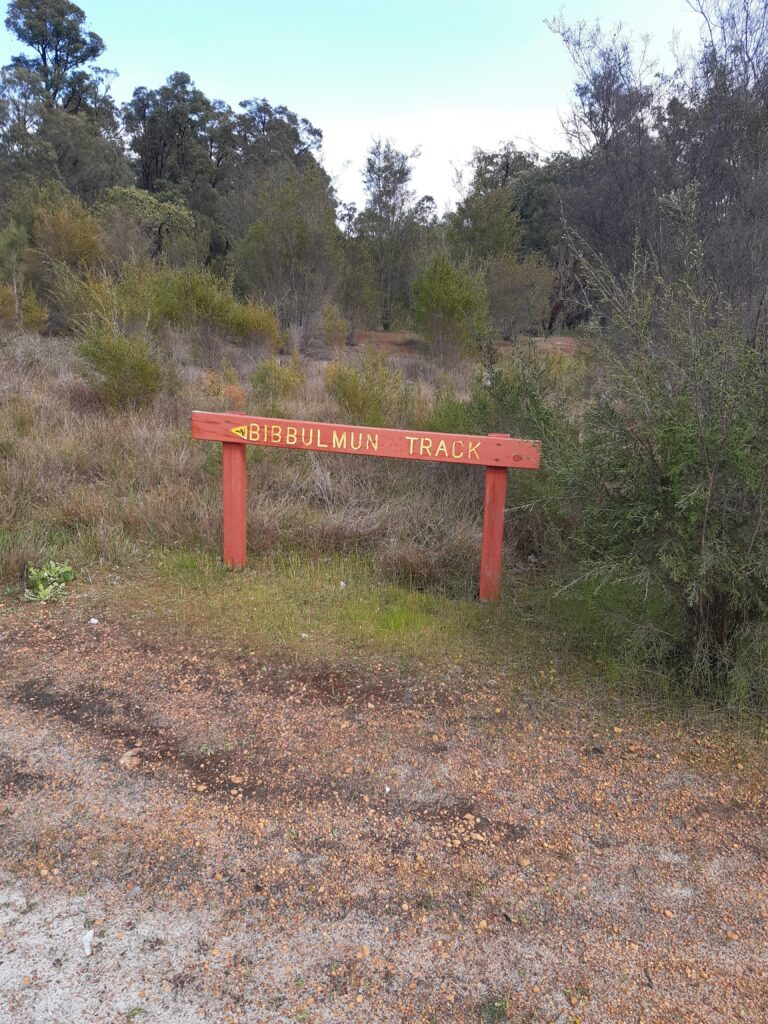
So, after buying all my supplies in Perth and realising that my pack was going to be super heavy, I headed off on the local bus to Kalamumda and the Northern Terminus of the Bibbulmun Track to start my End to End trek.
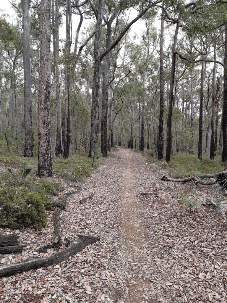
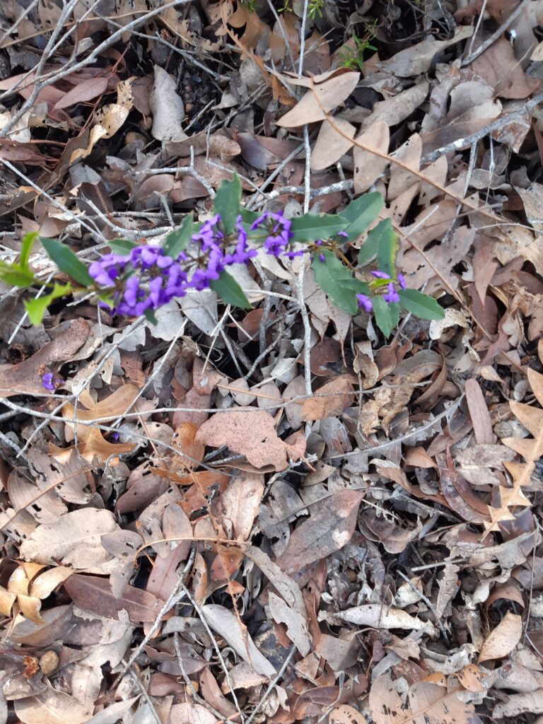
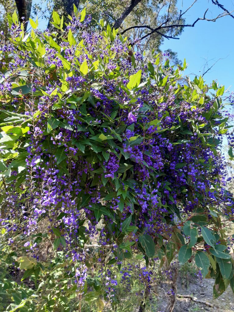
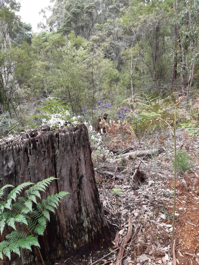
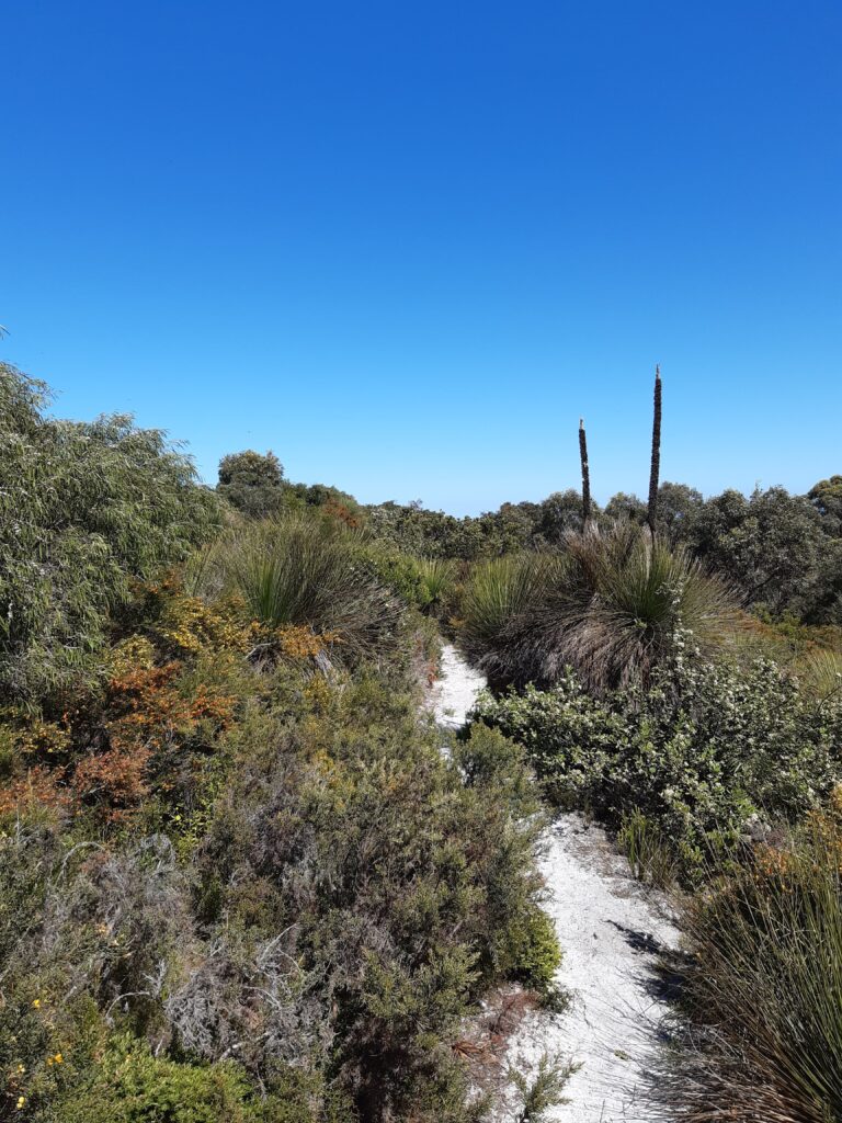
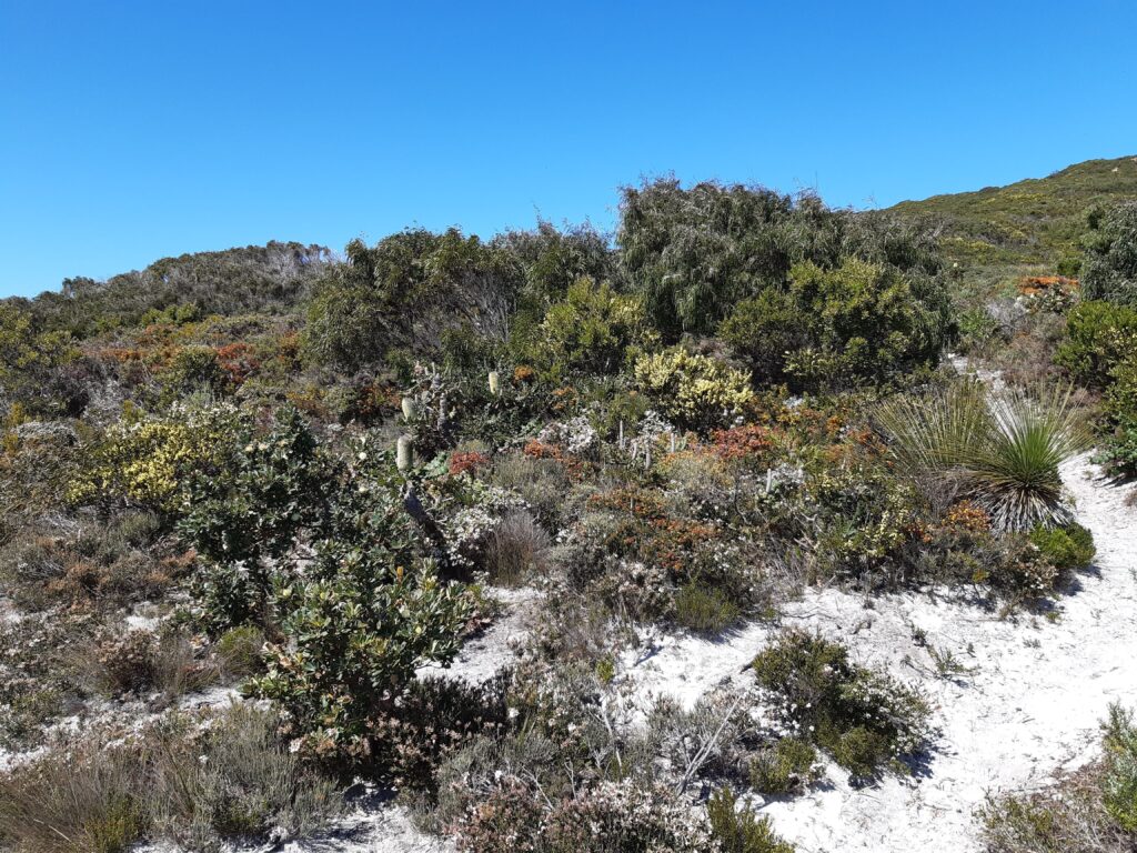
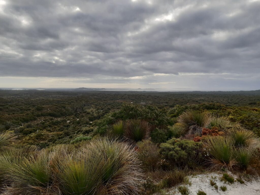
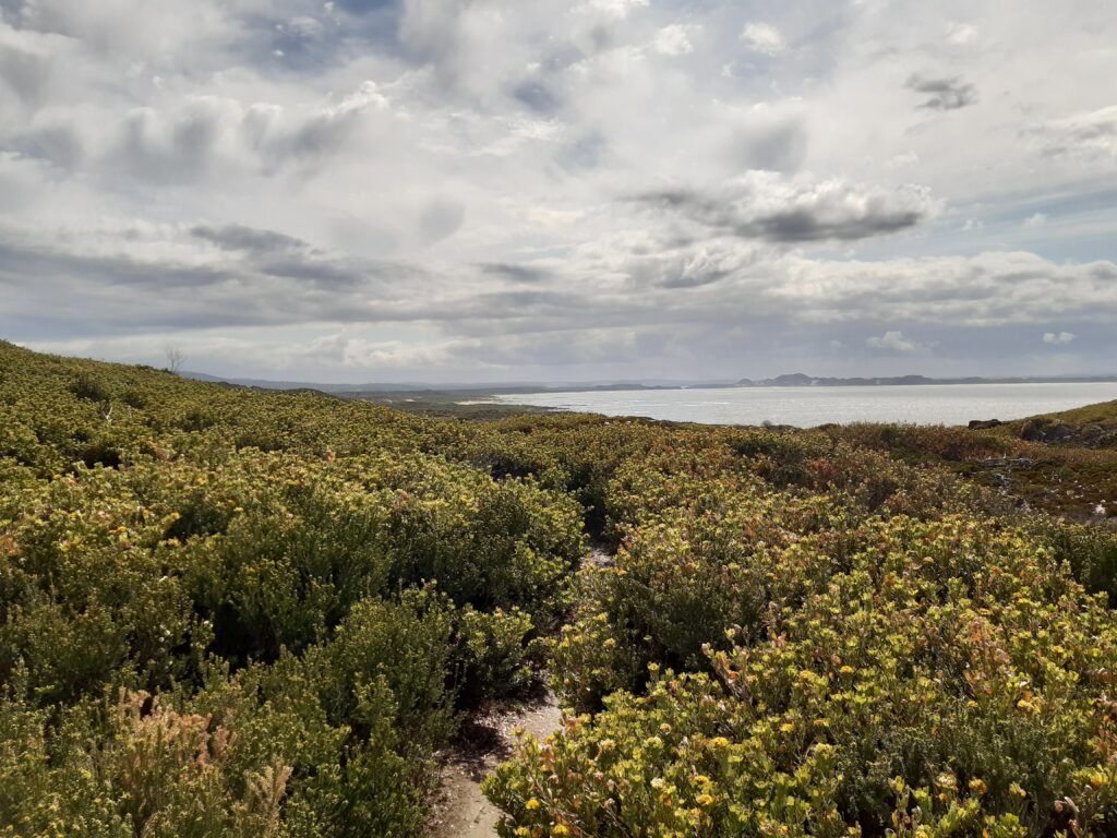
Kalamunda to Hewitts Hill. The weather and track was lovely, quite undulating, but the wildflowers which I had been told about were beautiful. Passed quite a few people who were out for a days walk to look at the flowers. After about 9 – 10kms, there was a sign on a tree, which said cafe in about 1km. I thought this was a joke, but yup after about 1km, there it was the Trail Hub Cafe. The lady there was lovely and I had a an afternoon English pot of tea, with scone, strawberry jam and cream. Lovely, this track is good.
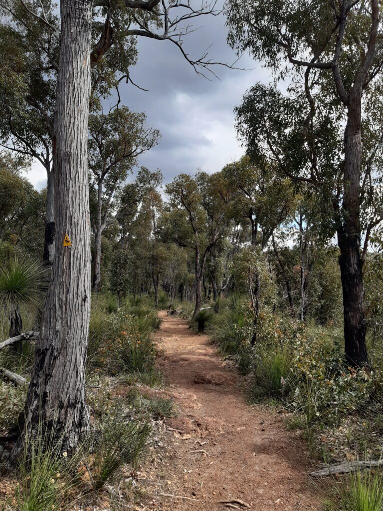
The yellow symbol on the tree in picture above, is the emblem of the Track, or Waugal, a symbol of the Rainbow Serpent and the sign you look for to keep you on the Track. Well sometimes you miss them and that’s another story !
So after only about a 12km days walk, I arrived at my first campsite at Hewitts Hill. My first night on the track was a great learning curve. I met three ladies who were regular walkers on the track and another gentlemen who had completed lots of long distance walks. After dinner, we sat around a camp fire and talked about the track and what lay ahead. My research had been good, but I had clearly under estimated the pack weight issue.
Hewitts Hill to Helena – I headed off to Helena campsite, which I understand is the largest hut on the track and well used, certainly on weekends which it was. I had stopped for lunch at Ball Creek campsite and met a Scout leader who was there. We talked and she asked how much my pack weighed. I said I though about 15kgs. She asked if she could lift it and she reckoned it was well in excess of 20kgs possibly up to 25kgs ! I had certainly underestimated the food weight as my pack had only weighed 8kgs at the airport.
Helena campsite has a double decker sleeping area but I was able to squeeze in on the lower level and there were lots of people camping around the hut area. I however learned that some huts maybe closed due to burn offs. Again, a good learning curve.
Helena Campsite to Waalegh – Was a real eye opener for me. Twice on the way to Waalegh camp site, missed the Waugul symbol on the track and cost myself additional kms. At least when I got to the Waalegh campsite, two other people there had done the same thing. However, the real problem that day, was that the sternum strap on my backpack broke, this would prove to be a real problem. It would mean that the shoulder straps would not stay in place and kept sliding off my shoulders, so I had to keep adjusting the pack, which was both tiring and very uncomfortable.
Waalegh to Beraking. A short day of only 9kms and greatly appreciated after the previous days experience.
Beraking to Canning – My original plan was to walk to Brookton Campsite, but I was advised that this was closed due to the fire brigade doing burn offs. However there was a temporary campsite which could be used. The weather was poor with heavy rain and when I got to the Brookton Campsite turnoff, it was hailing, so decided to keep moving to the temporary campsite. This turned out to be a section of cleared land, with a PortaLoo on a trailer, which was not nice and some jerry cans. I decided to keep moving to Canning Campsite, which made it a big day of just under 30kms in very wet conditions. By now, my backpack issues were making it very uncomfortable and painful on my shoulders.
Canning to Monadnocks – Not a long day of 17kms but my shoulder pain was now quite bad. I spent a sleepless night trying to work out what to do and had decided to try and keep going to Dwellingup. I spoke to a lady who had lots of Track experience and told her my plan to get to Dwellingup and then head back to Perth. She advised me that there was no public transport from Dwellingup. The previous evening a lady had arrived late into the camp. She said that she had walked in from Sullivans Rock and was heading back there next morning and then back to Perth. I asked her if she would give me a lift to some public transport so I could get back to Perth and she said yes. I was dropped of at Kwinana train station and I made it back to Perth, upset and with the view of just heading back home.
After a shower and good nights sleep, I decided next morning to take my broken backpack to a local Anaconda store and see what they would do for me. At the store I explained to the assistant what had happened. They agreed that it was a product defect and offered to either reimburse me the money or give me credit. Bouyed by this, I decided to get a bigger and more robust backpack, some other items and headed back to my hotel to plan my return to the track. I had also downloaded the Far Out app, which proved to be excellent and kept me on track.
Having taken into consideration public transport, I decided to take the Translink bus to Collie and head back onto the track from there.
Collie to Yabberup – Started off in light rain, but with my new and larger backpack felt good to be back out walking again. A good 19.36kms walk was a great way to restart my trek.
Yabberup to Noggerup – As commented previously, the wild flowers were out and beautiful. A lady I met at the Yabberup Campsite told me that she had seen numerous types of orchid, I am afraid my knowledge of flowers is limited. The highlight of this section was supposed to be a delicious hamburger lunch topped off with a cold beer at the Mumballup pub. Unfortunately the pub was shut, so lunch was my normal snack. However, after leaving the Mumballup pub, I walked along an old disused train track, before turning left and heading up a very long and steep road, which was nearly 2kms long. That was tough and I must admit, if I had eaten a big lunch with a cold beer, it might have just been tougher !
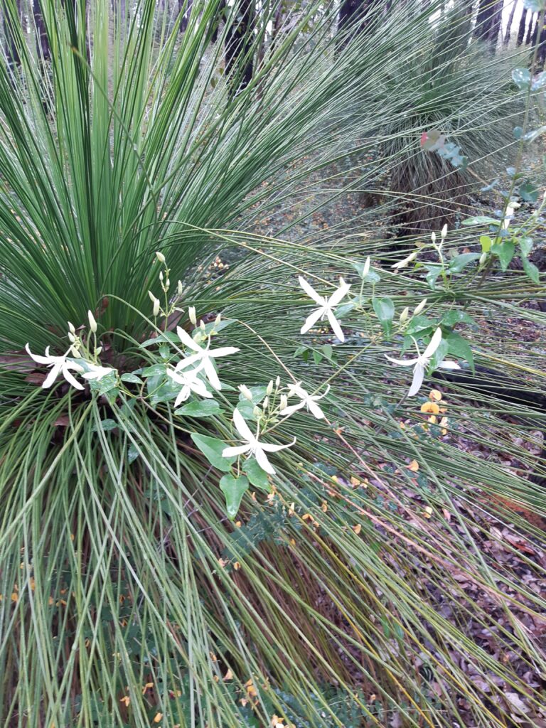
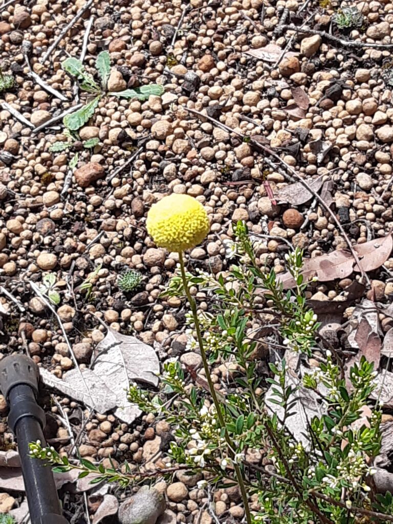
Noggerup to Grimwade – Again a really nice hike of 23kms, with more beautifu flowers. The track was nice and I made good time.
Grimwade to Balingup – I would have to admit, I was happy to be travelling south on this section, as the path just before Balingup was very steep. I had hutted for the last three nights with a young lady and she had booked accomodation at Balingup as her feet were giving her problems, but I did not have any accomodation booked. She gave me some names and phone numbers of accomodation in Balingup, but when I arrived, discovered that the day had been declared a public holiday as a day of Mourning for the Queen’s passing. Nothing other than the general store was open, but I was lucky enough after a few phone calls to get accomodation for the night.
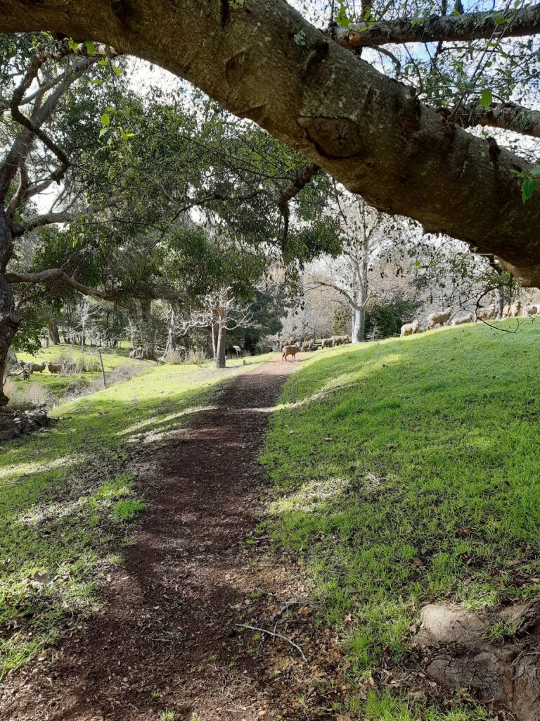
Balingup to Blackwood – The lady who I stayed with dropped me back into Balingup and I headed of to Blackwood Campsite. After leaving the highway, the track went through an area called the Golden Valley Tree Park. This was really lovely, with sheep roaming around.
The track was quite steep, especially the last part up to the hut, which was at the top of a hill with great views. After being at the hut for a while, I was joined by a trekker I had met back at the Helena Campsite. He was doing an End to End and just stayed for a quick lunch before heading off for a double hut day. He told me that it was going to be a cold night, but instead it was a very wet night, with a big storm coming through. I had the hut to myself and in the middle of the night was woken up by something chopping the grass next to the wall where I was sleeping.
Blackwood to Gregory Brook – The storm had passed through and whilst the ground was wet, it was a beautiful day. I headed off and met the midnight munchers !
Again, I was happy to be walking this section going south, as the path became very steep. Luckily I was going downhill, but with a full backpack it was still difficult and had to be very careful.
Gregory Brook – Donnelly River – The track to Donnelly River was quite flat, but the Far Out app had saved me when I failed to see the sign right after leaving the Gregory Brook Campsite. I had been told that you could stay in Hikers accomodation and that the food at the Donnelly River Store was great.
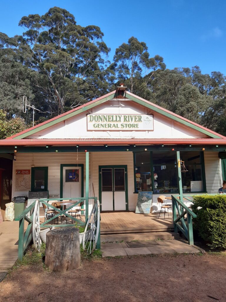
Arriving at the Donnelly River Store, it was like a mirage. I walked in and was greeted by the young manager. A coffee, food and a place to sleep please !! I sat for a while, savoured the great coffee, munched through the great hamburger and collected my towel for a hot shower. I got to my Hikers accomodation a bunk style room, which I had to myself for the first night. After a great hot shower and another great coffee, decided to stay an extra night, rest up and more importantly do some washing. Thank goodness for small mercies.
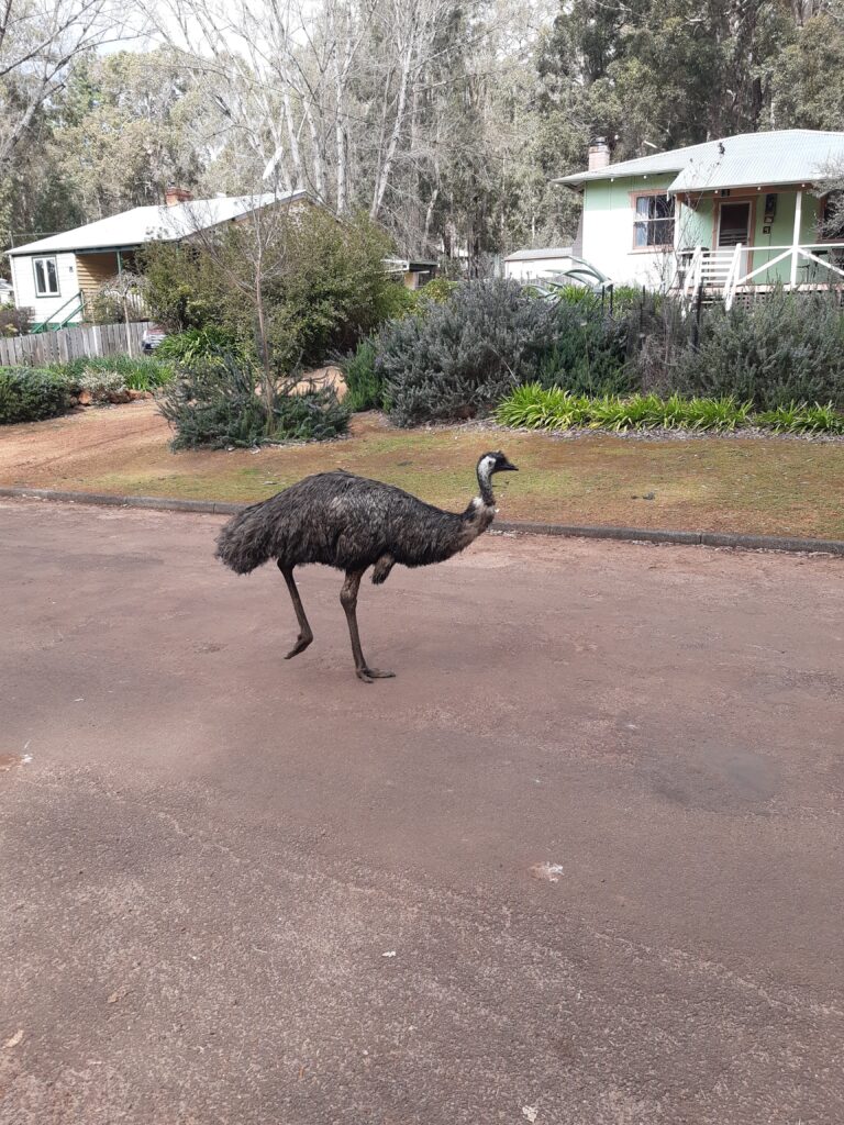
Donnelly River was a great place to just chill and rest for the day. It was school holidays and so there were lots of families enjoying the wild life and bike and walking tracks.
I had heard differing information as regards the water levels on some sections of next parts of the track. These ranged from chest, to ankle and then waist high water levels. I therefore decided to miss some sections and start again from Walpole. I was able to get a lift to Pemberton and then caught the Translink bus to Walpole. I restocked with food and butane gas and headed off.
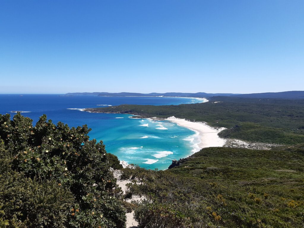
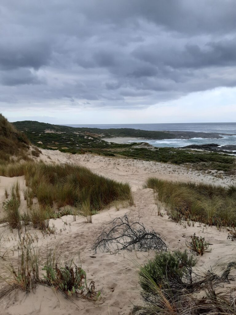
Walpole to Frankland River – For the first time, the track took me down to the sea, well Wapole Inlet to be exact.
I walked past Coalmine Beach Caravan park and started the climb up to Hilltop Lookout.
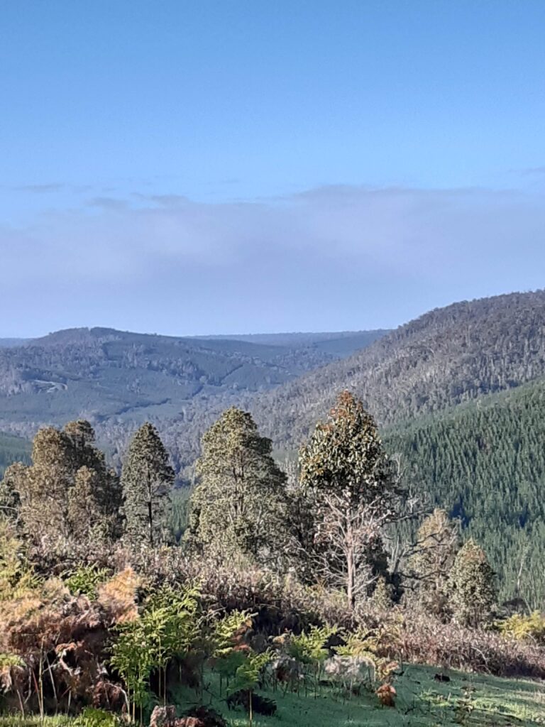
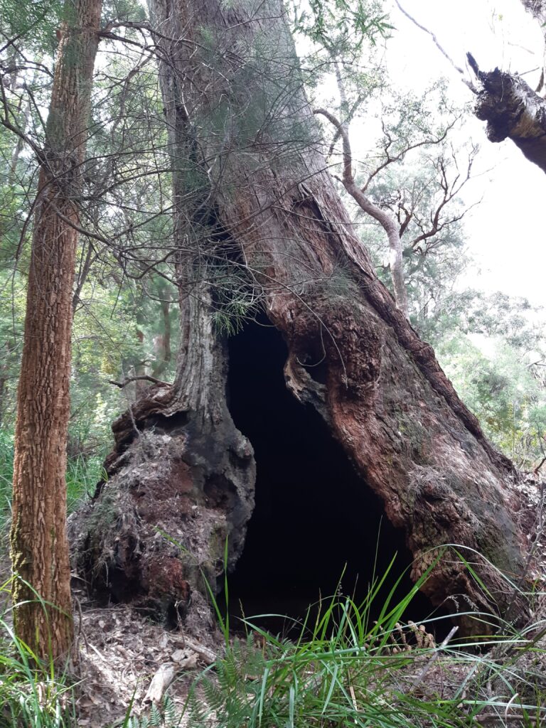
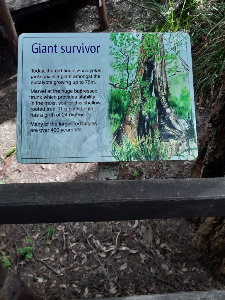
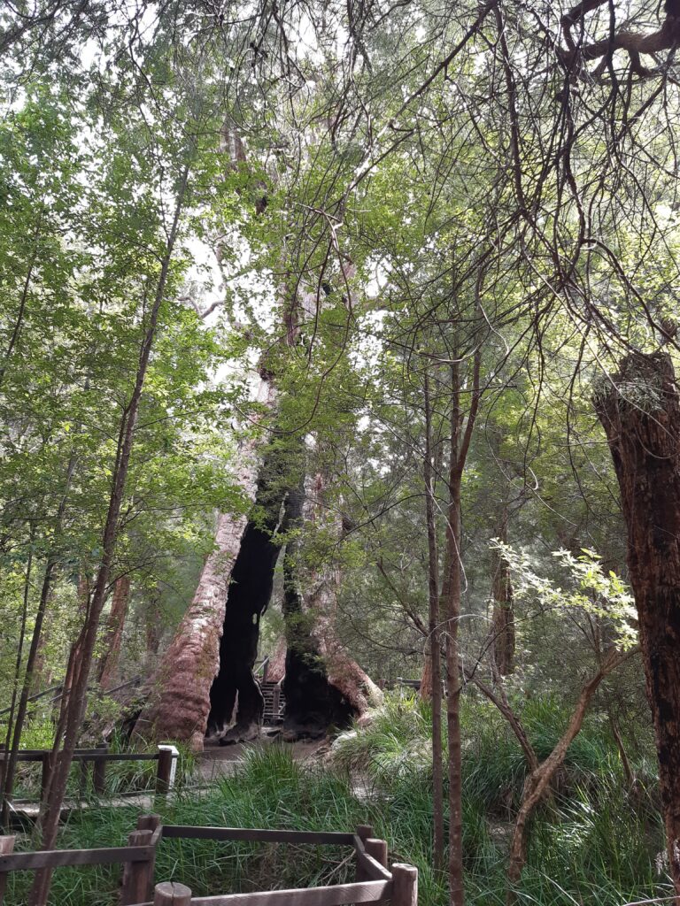
The track continued to climb through large Karri trees, before arriving at the Giant Tingle Tree.

I arrived at the Frankland River Campsite, which was packed as it was school holidays and families were walking sections of the track.
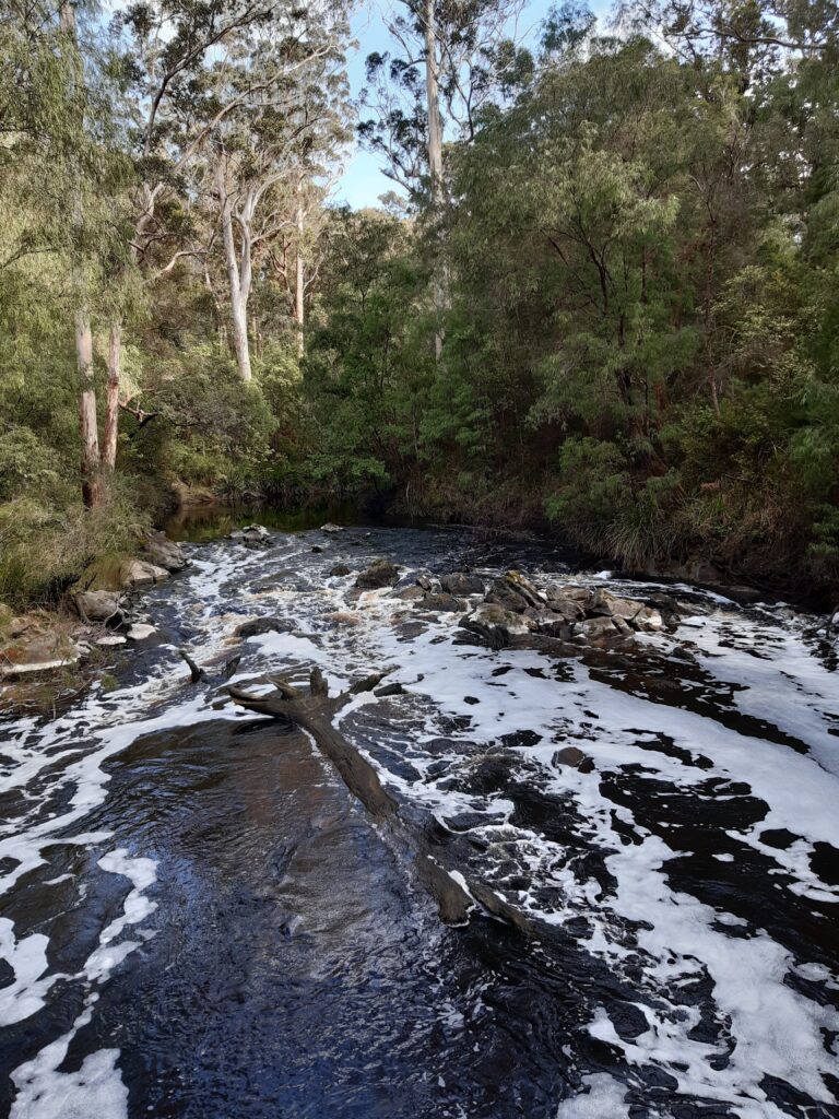
Frankland River to Giants – The track was good but there had been quite a lot of rain, with some creeks I passed over having a lot of water flowing through them.
A couple of kilometres before Giants campsite, I arrived at the Valley of the Giants Tree Top Walk. I decided not to do the Tree Top Walk, I had seen alot of trees through the last few days. One thing I did do however, was to buy a great cup of coffee from the vendor in the car park, just great. I headed down to the Giants Campsite.
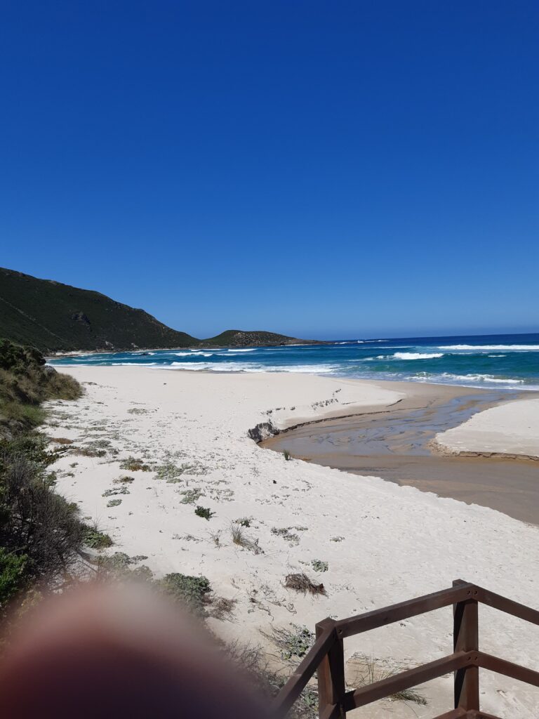
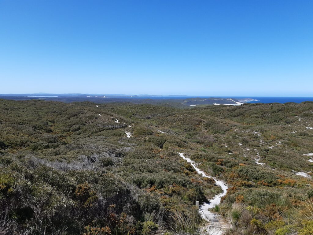
Giants to Rame Head – I was told that the weather was to be lovely today, from memory 24C Degrees. So I stripped off my trousers bottoms, put on a short sleeve tee shirt and headed off, felt great to be out walking. For the first day on the track, I hit a sandy track. It didnt concern me too much, the weather was good and I was feeling great.
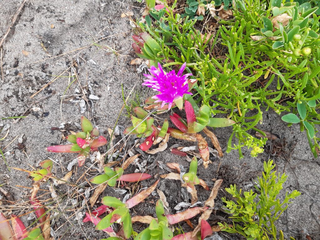
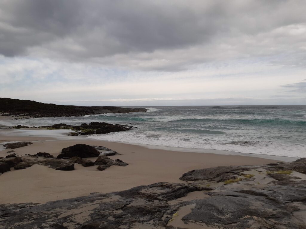
The flowers were again beautiful and I made good progress, then I hit the sand at Conspicuous Beach.
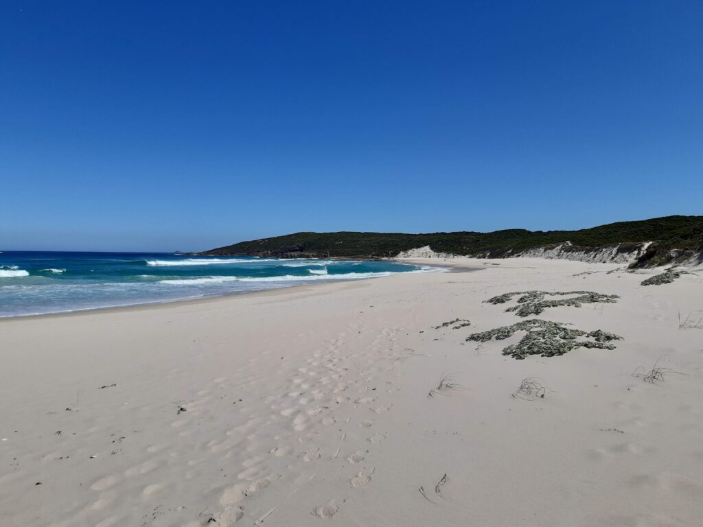
After a short while, the track went off the beach and I had to scramble up the dune to join the track. The track then meandered through the dunes, before heading up a quite steep hill. Luckily the track was a zig zag style, so made it much easier.
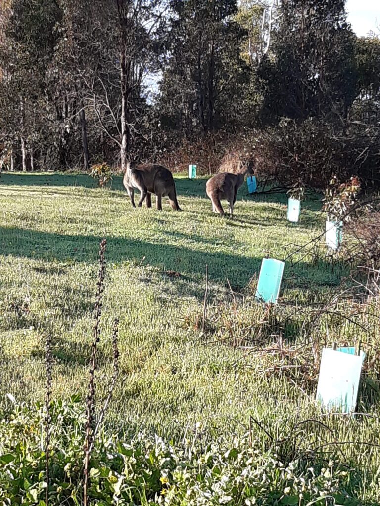
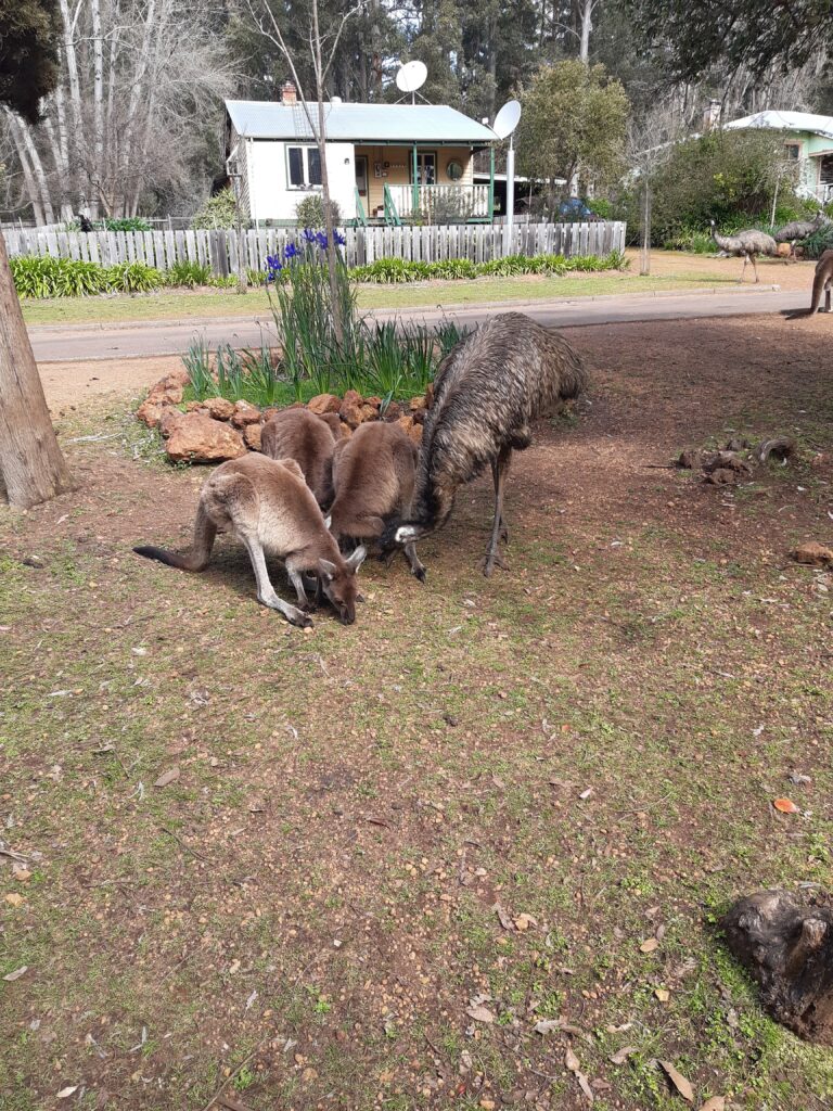
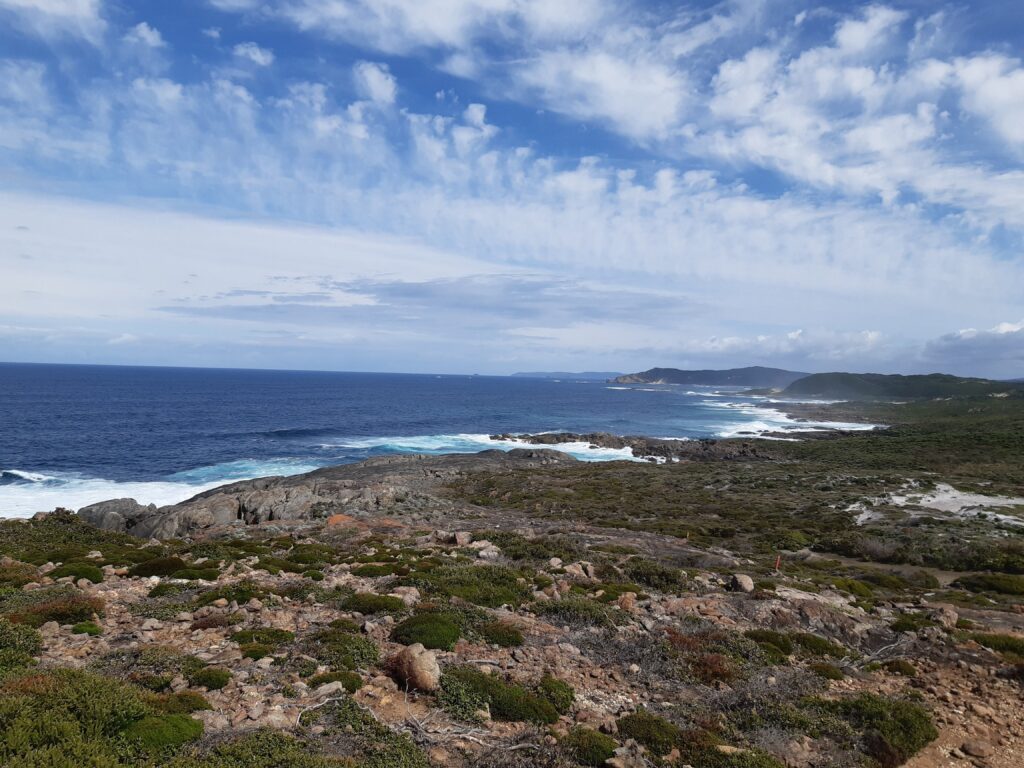
Towards the top, the view back down to the Beach was beautiful. There were Black Cockatoos and Kangaroos around, but all keeping their distance.
The path leveled out and was a pleasure to walk on. The view across to Peaceful Bay was good to see and certainly an incentive to push on.
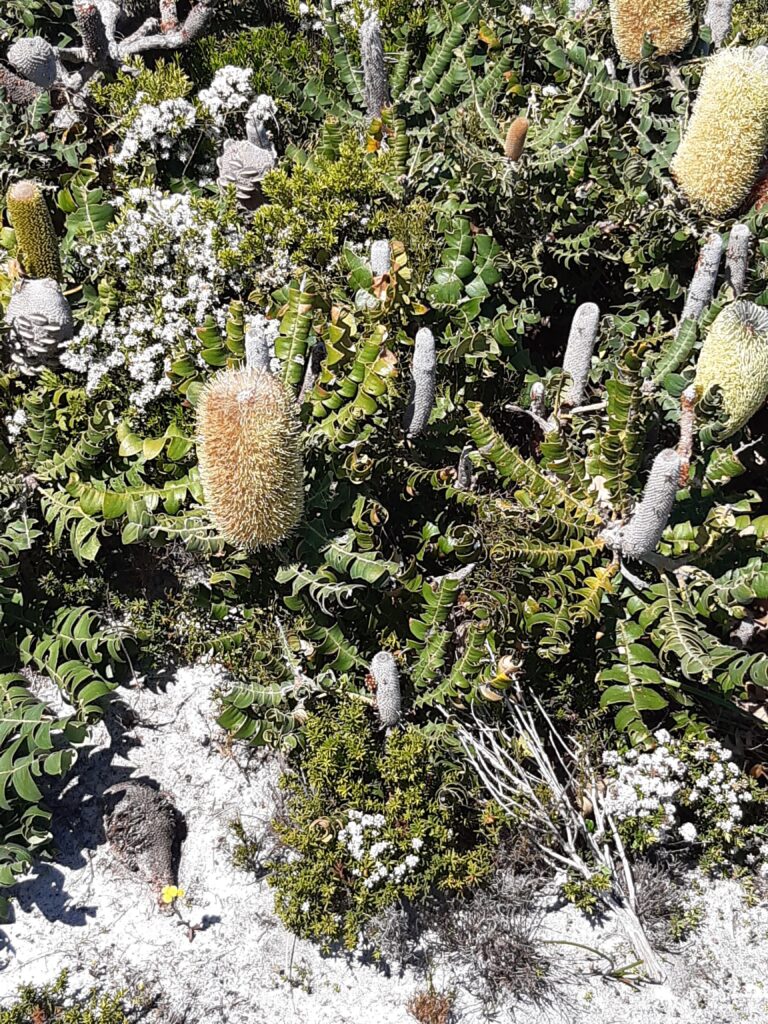
Rame Head to Peaceful Bay – The day started off overcast, with some occasional showers meaning rain gear was off and on. Again some beutiful and interesting flowers on the track which was sandy and quite undulating.
I had passed a few people headed North and stopped to rest and talk to a group who were on a day trek to Conspicuous Beach. They left me and headed off and after a few minutes I decided to take a photo before heading off myself. I got my phone out and discovered that half the screen was black. Funny, I couldn’t put the password in or do anything. Oh well I will just start walking and see if it clears, perhaps something had happened to it whilst in my pocket. After a while, I again tried my phone and the bottom half of the screen was black and down the right hand side of the screen was various shades of green.
I made it through to Peaceful Bay, but by now my phone was dead, no response at all. I could not access the Far Out app, which had been my life saver and kept me on track numerous times, especially down on the beach, where the signposting was not great.
After all the other issues I had had, I have not mentioned numerous things which had gone wrong, this was the last straw for me and I decided to head back to Perth and home. I stayed in a Chalet for the night, thank goodness as it would have been a cold and wet night in a tent ! I arranged to be picked up at 8.00am and driven to Walpole, were I could catch the Translink bus back to Perth. Luckily the visitor centre was open and I could buy a bus ticket. I got back to Perth, booked into a hotel and then tried to get a flight home to Cairns.I was able to get my phone repaired, the screen had gone and after the shock of the arifares back to Cairns, made it home.
My initail feeling, was after all the issues and problems I had had, to just forget going back as it appeared to be a logistic nightmare to complete the track. But after a few days and having looked more at the logistics, I intend to head back, maybe once or possibly twice to finish the Bibbulmun. I will be wiser and more informed next time and keener to push on. Thats why I have headed this, Part 1.