With Australia’s International travel ban still in place, my recovery from foot surgery now almost complete, I needed to get out and about again. So I headed off to a place, which I have visited on many occassions, lived there for a short time and always seems to draw me back, the Red Centre of Australia and Alice Springs.
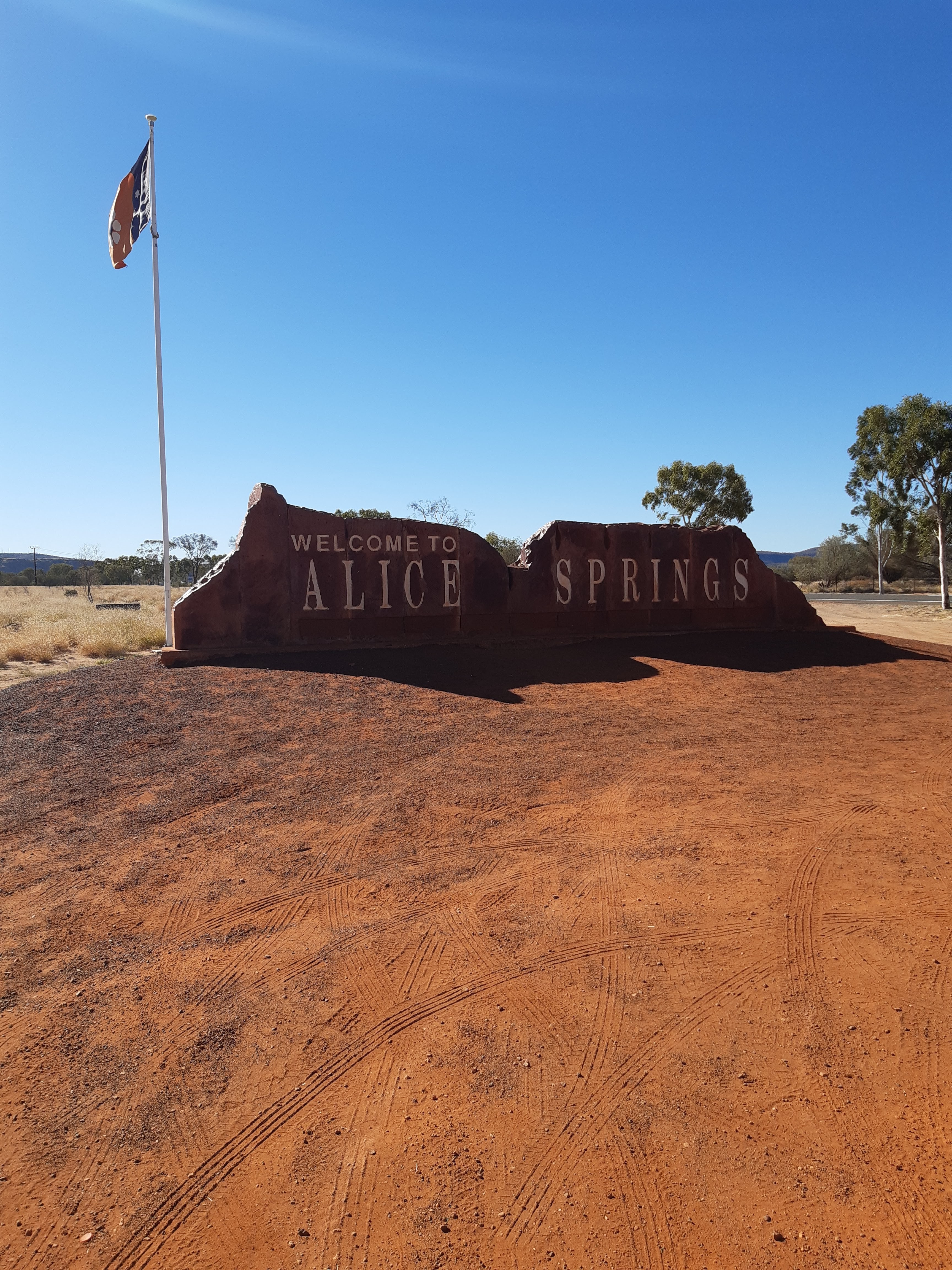
Having flown into Alice Springs, I headed into town and was greeted by their great town sign, as above, the red dust and Northern Territory flag, just sets it up for me.
Next morning, I headed off and picked up my home for the next week, a Britz High Top camper van. I had never driven one of these before and after stocking up on food at a local supermarket, I headed off on the open road to Yulara, to visit Uluru – Kata Tjuta National Park.
Home Sweet Home, for 8 days
The first part of the journey, is to head down the “Track” to Erldunda Roadhouse, a drive of about 200kms. Approximately 100kms outside Alice Springs is the Cannonball Run Monument. This marks the spot, where in 1994, two drivers and two officials died whilst participating in the Northern Territories Cannonball Run. With unrestricted speed limits on some NT roads then, an event was created to go from Darwin to Alice Springs and return, a distance of approximately 4,000 kilometres. Car enthusiasts from around the world brought their high powered vehicles to participate. Speeds in excess of 200kms an hour were recorded. Unfortunatley a Ferrari lost control, skidded and crashed into a checkpoint, killing its occupants and two officials. It is however a sobering reminder that speed kills.
So I arrive at the Erldunda Roadhouse, I refuel, you never want to run out of fuel here, and head off down the Lasseter Highway to Yulara. I have driven this road twice before, the first time from memory in 1975 in a Greyhound Bus when the road was not sealed but dirt road. On the way back, the driver stopped in the middle of the night for his rest stop, built a fire, boiled a billy and we drank tea under the vast Australian night sky. Quite an experience.
So after about another 250kms drive, I checked into the Ayers Rock Resort Campground and found my site. I decided to head out to the National Park and join the horde that every evening visits the Car Sunset viewing area. The area was packed with people taking up whatever vantage place they could get to watch the sun go down on the Rock. There is a fee to enter the National Park of AUD$38 for three days, which allows you to visit Uluru and also Kata Tjuta (The Olgas), money well spent !
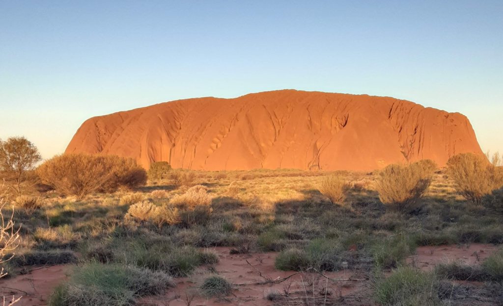
So here is my first photo of the Rock, taken at 5.50pm
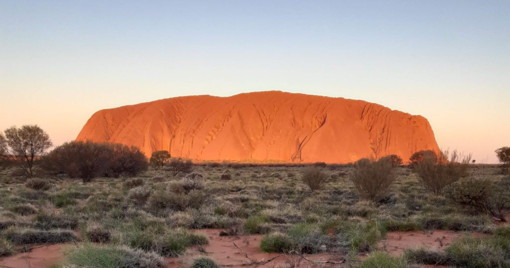
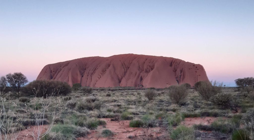
Next picture taken at 6.03pm, note the sun is setting and colour is getting darkerLast picture taken at 6.23pm, red colour now gone.
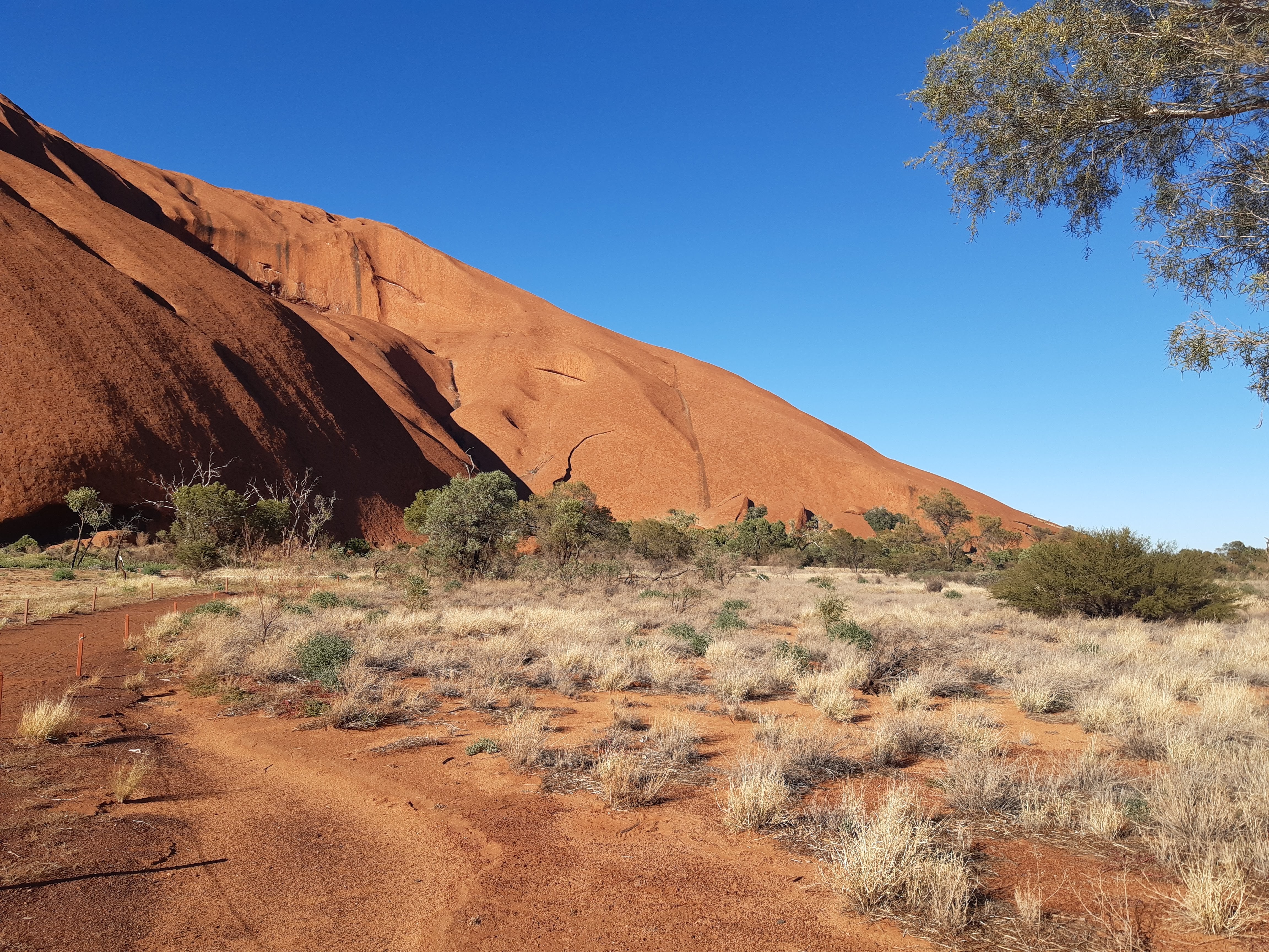
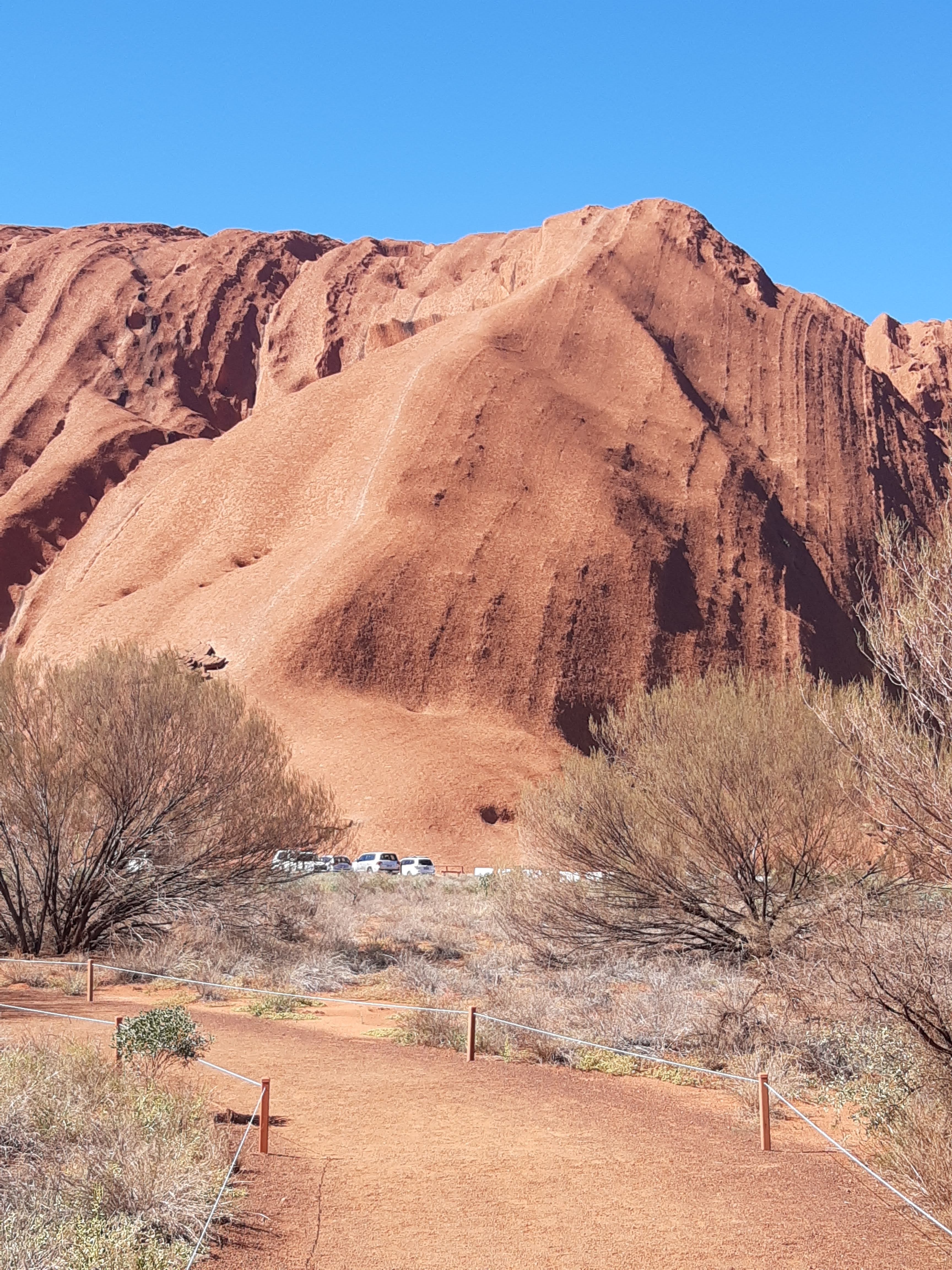
Next morning I headed back out to the National Park to do the Uluru Base Walk. You are not allowed to climb the rock now, but I had done this back in 1975 and I will show you a photo of the old climb. The Base walk is about 10.6kms long and suggested to take about 3.5 hours. It is a very pleasant walk, not hard at all, very flat in fact. There are lots of great photo opportunities along the way and some areas which are culturally sensetive and photos not allowed. As above the path is easy and no special gear is required. Just take a good amount of water, good shoes, sunscreen and a hat. I did see many tourists, who whilst I am sure completed the walk, will be sore and burnt the next day.
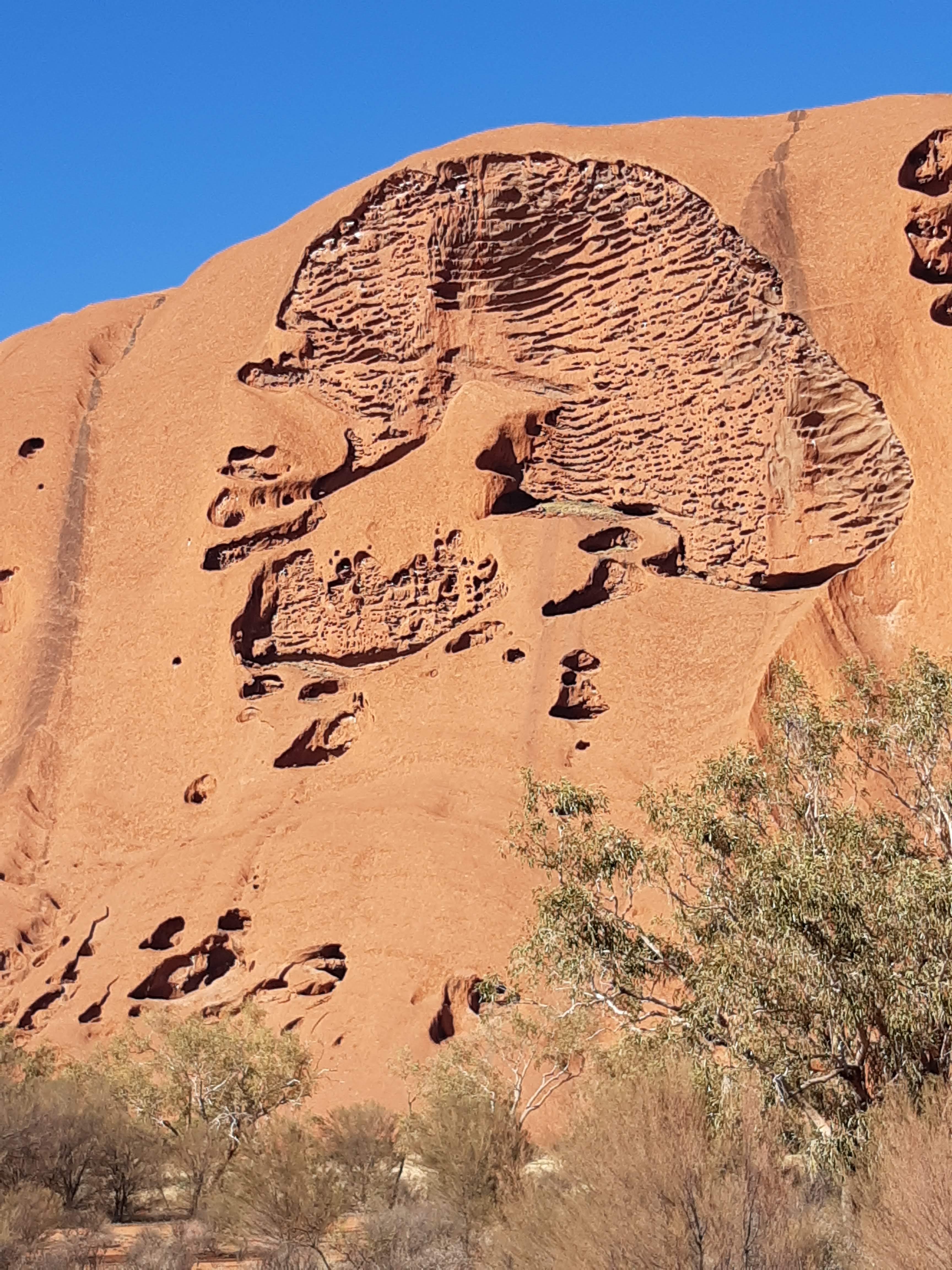
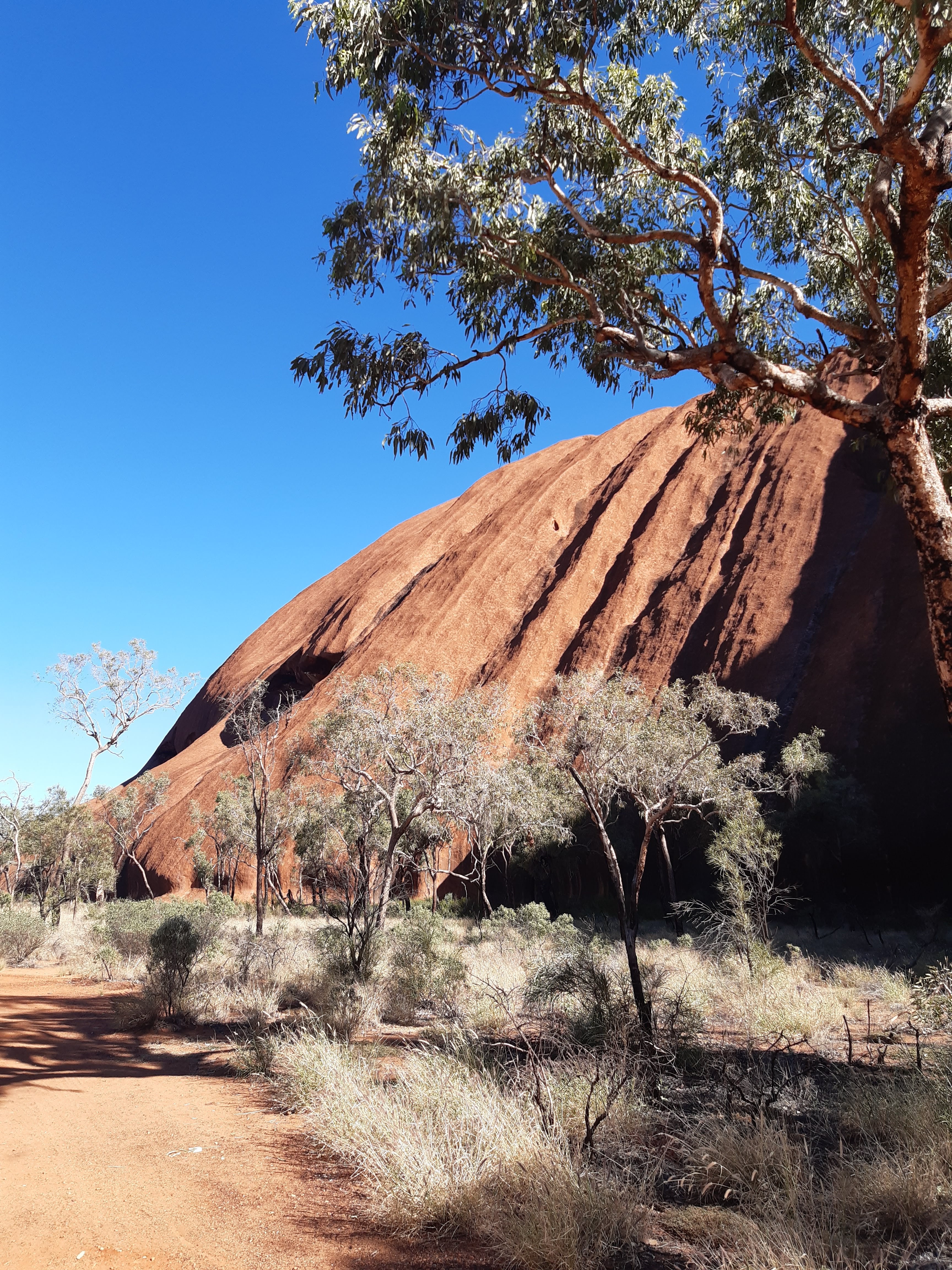
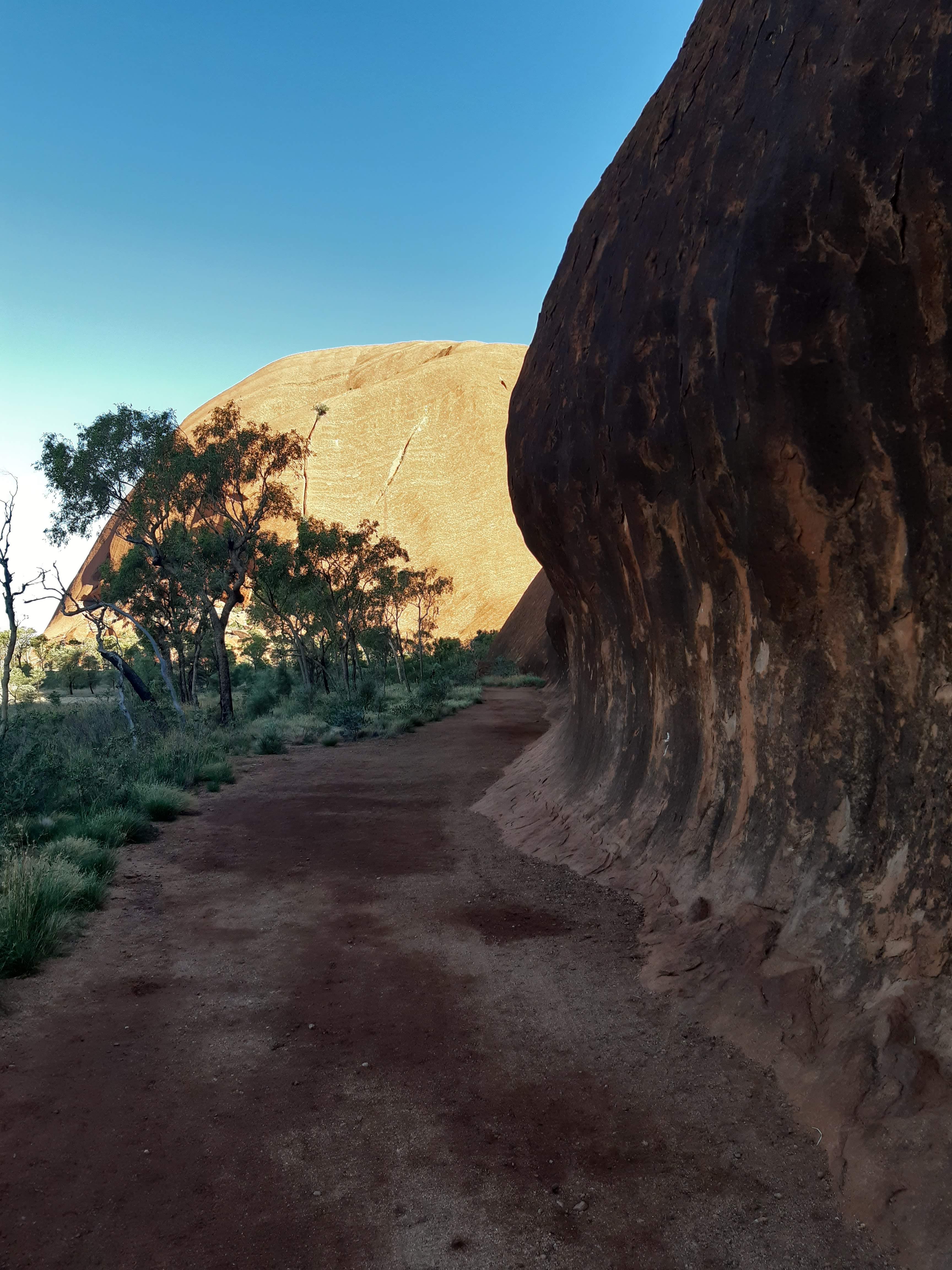
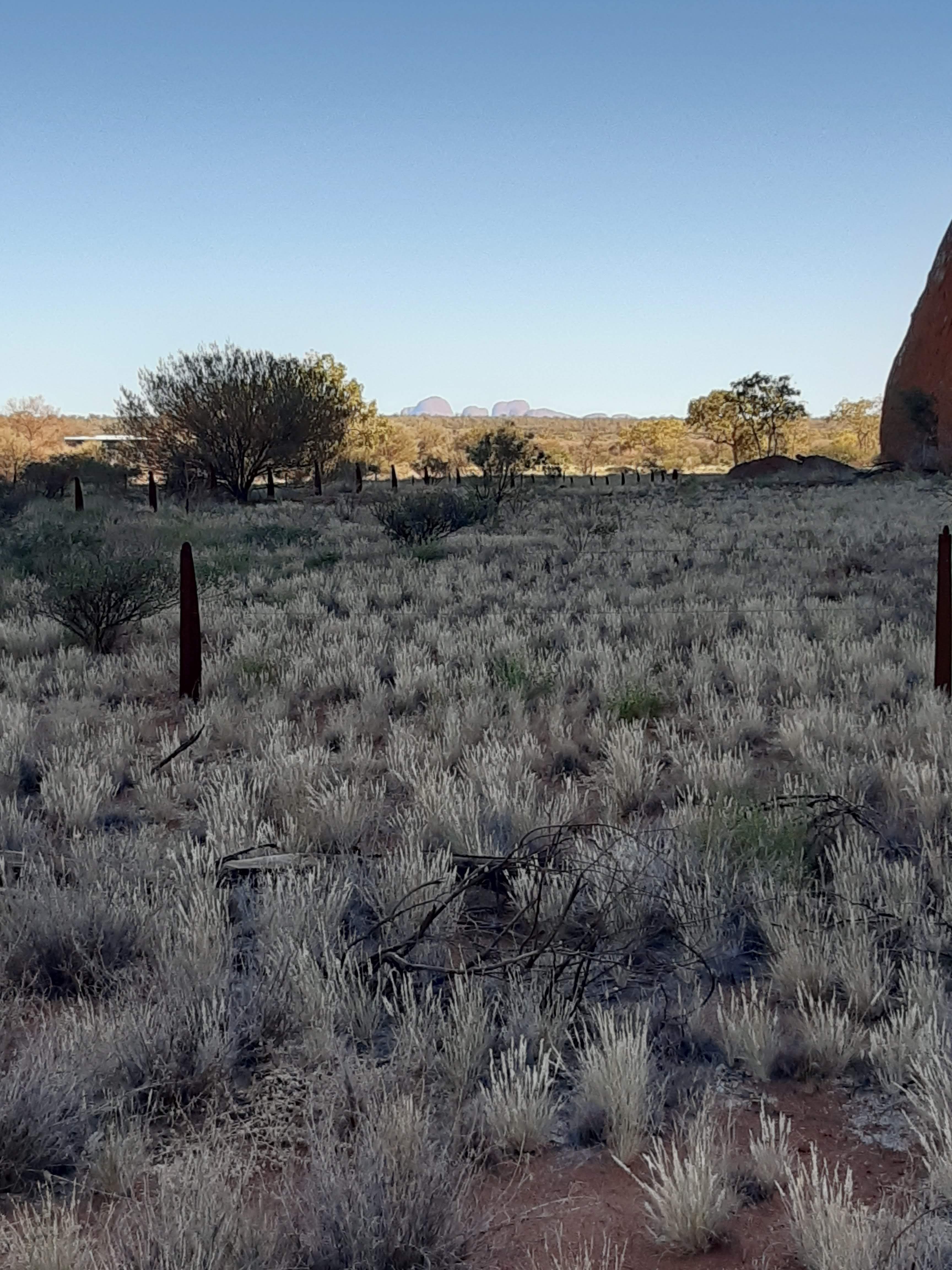
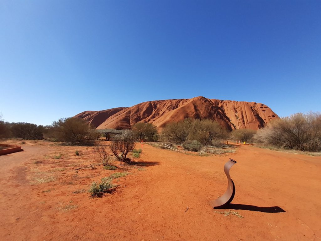
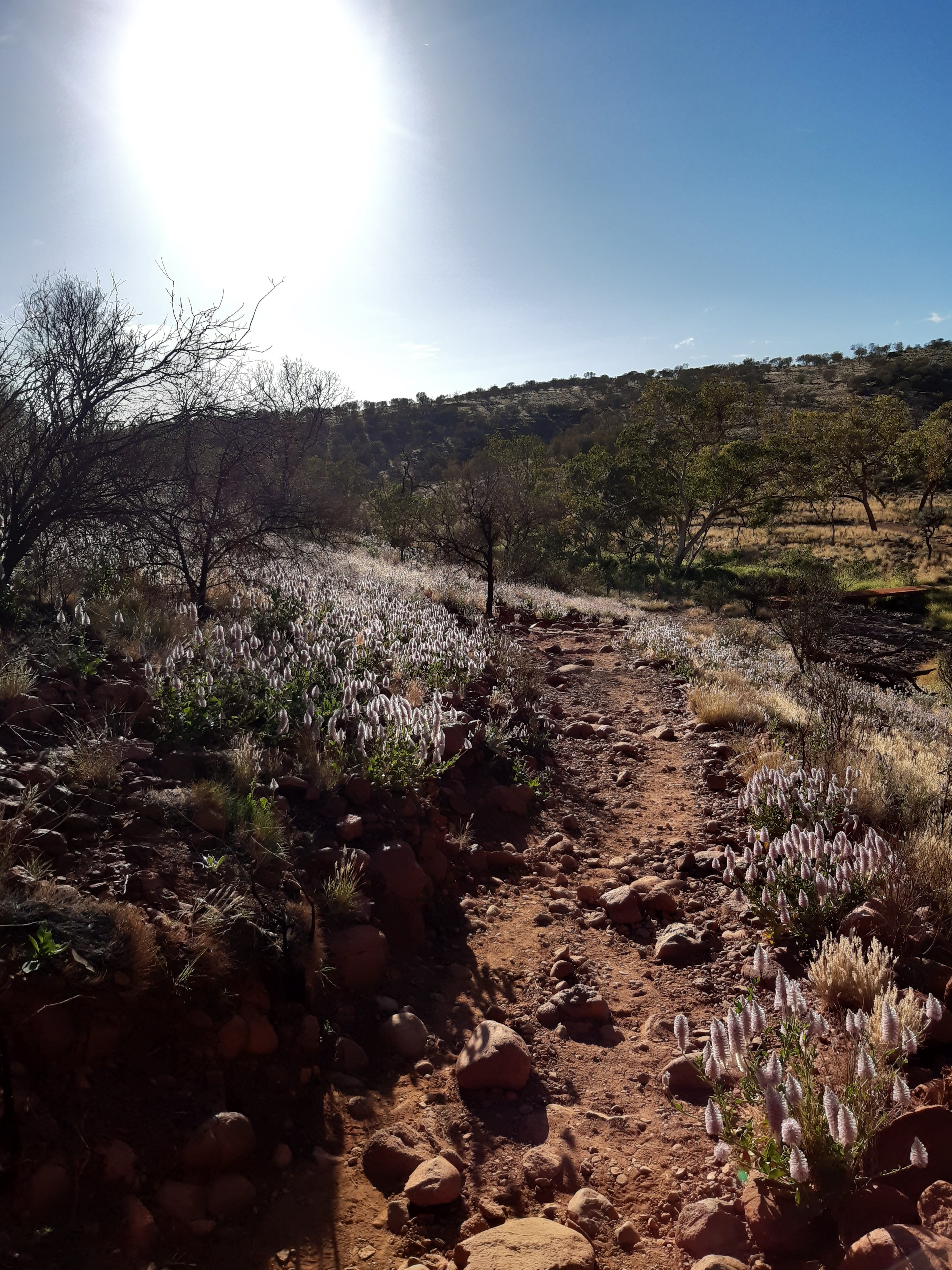
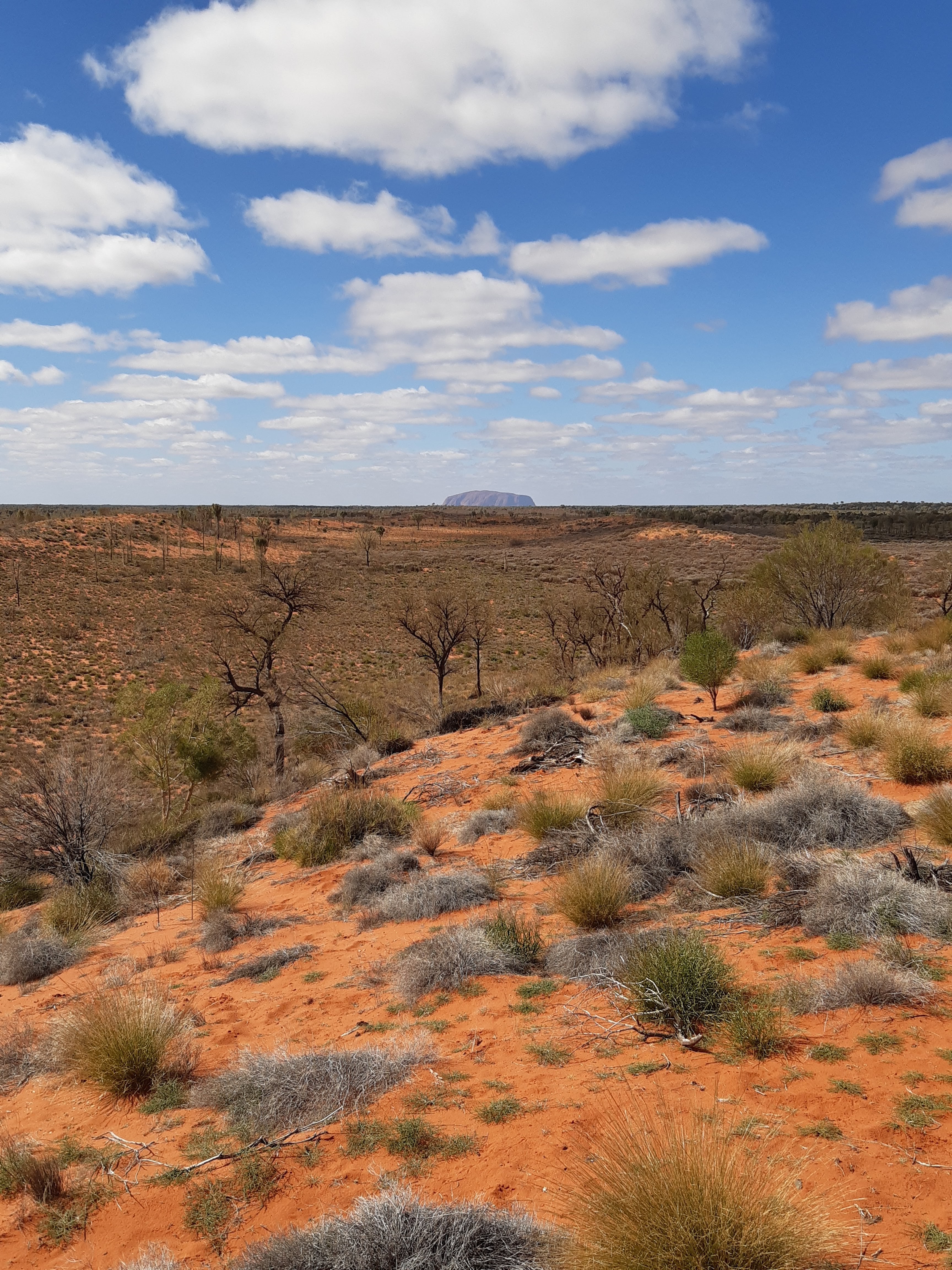
The path is flat and easy to walk on, with so many photo opportunities I am sure there are better photos of the Rock, but I feel this just shows the weathering and age of the Rock that it has gone through. What stories it could tell.I think its this sort of picture where you appreciate the spirituality of the Rock. The quiet spots where the birdlife, mostly budgies are abundant and you get the feel of the past and activities that have taken place here. Again, the path is easy to walk, but you get a great feeling from the Rock and its past.In about March of 2021, there was a lot of rainfall in this region. It must have been an amazing sight watching the water cascading off of the Rock. I have never seen this area with so much grass and flowers. It really was lovely to see. In this picture, you can see Kata Tjuta, or the Olgas in the distance.Just another picture of Uluru, but I like it because it captures the redness of the ground against the clear blue sky, encompassing the Rock.And here you can see the old path up the Rock when you used to be able to climb it, which I did many years ago !! The white path is where you used to go up and down. What I can remember of my climb, was that is was quite hard to get up the first section, but harder coming down the same section, most of which I spent on my backside. There used to be a heavy chain up the first section to help you, but this has been removed.
Certainly a great experience and lovely feelings towards the whole aura of the area. If I was too be negative about one thing, it was that tourists were allowed to hire bicycles and segways to go around the Rock. It just seemed to me to take something away from the experience and the feeling, too commercial for my liking.
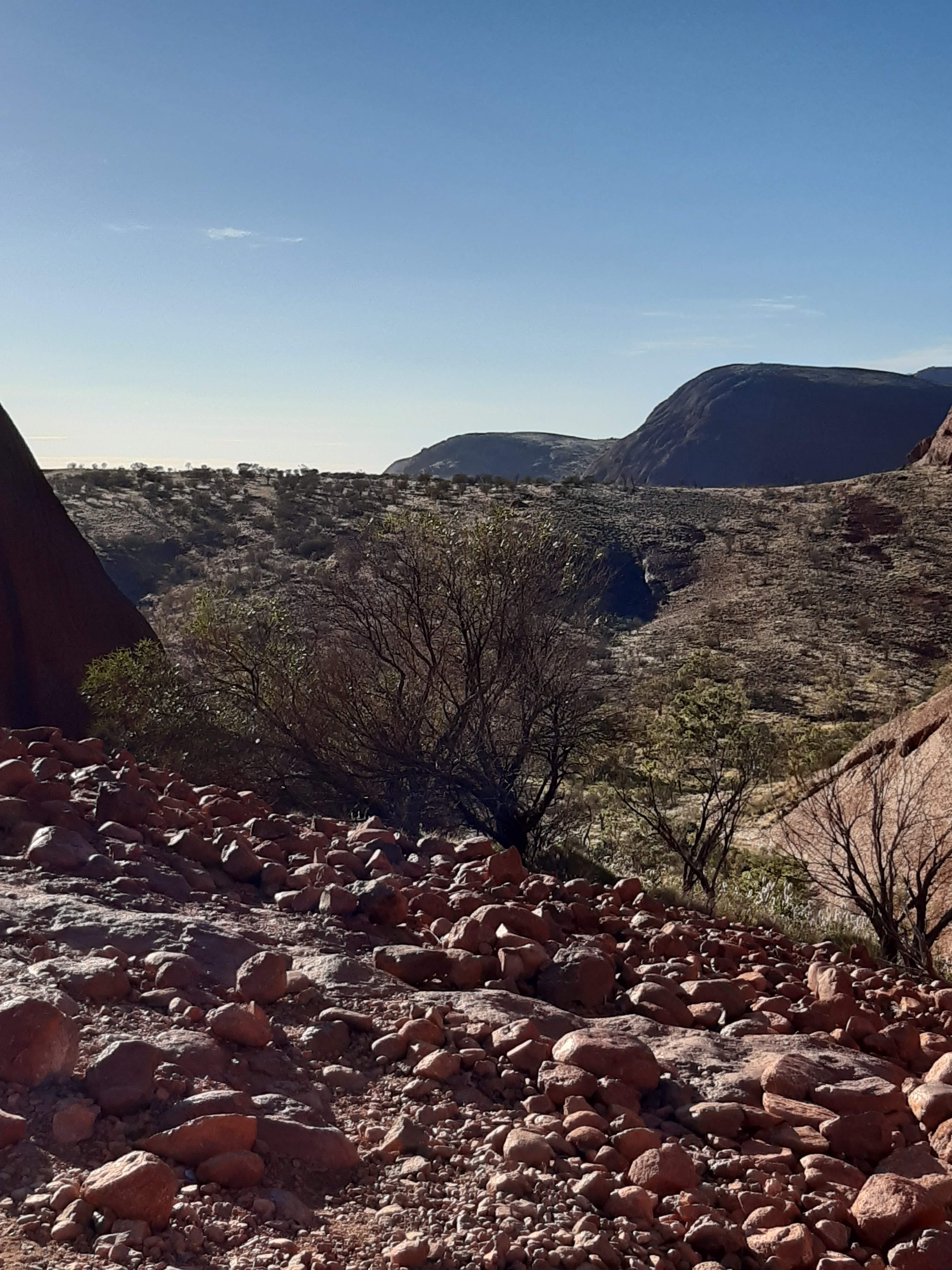
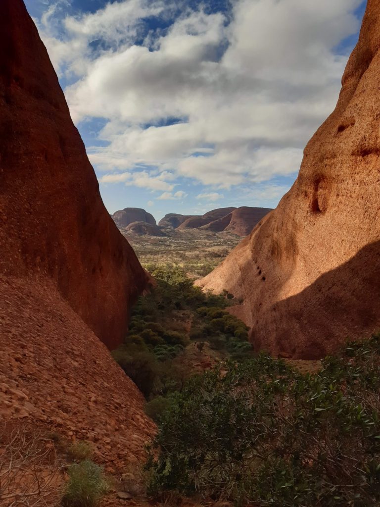
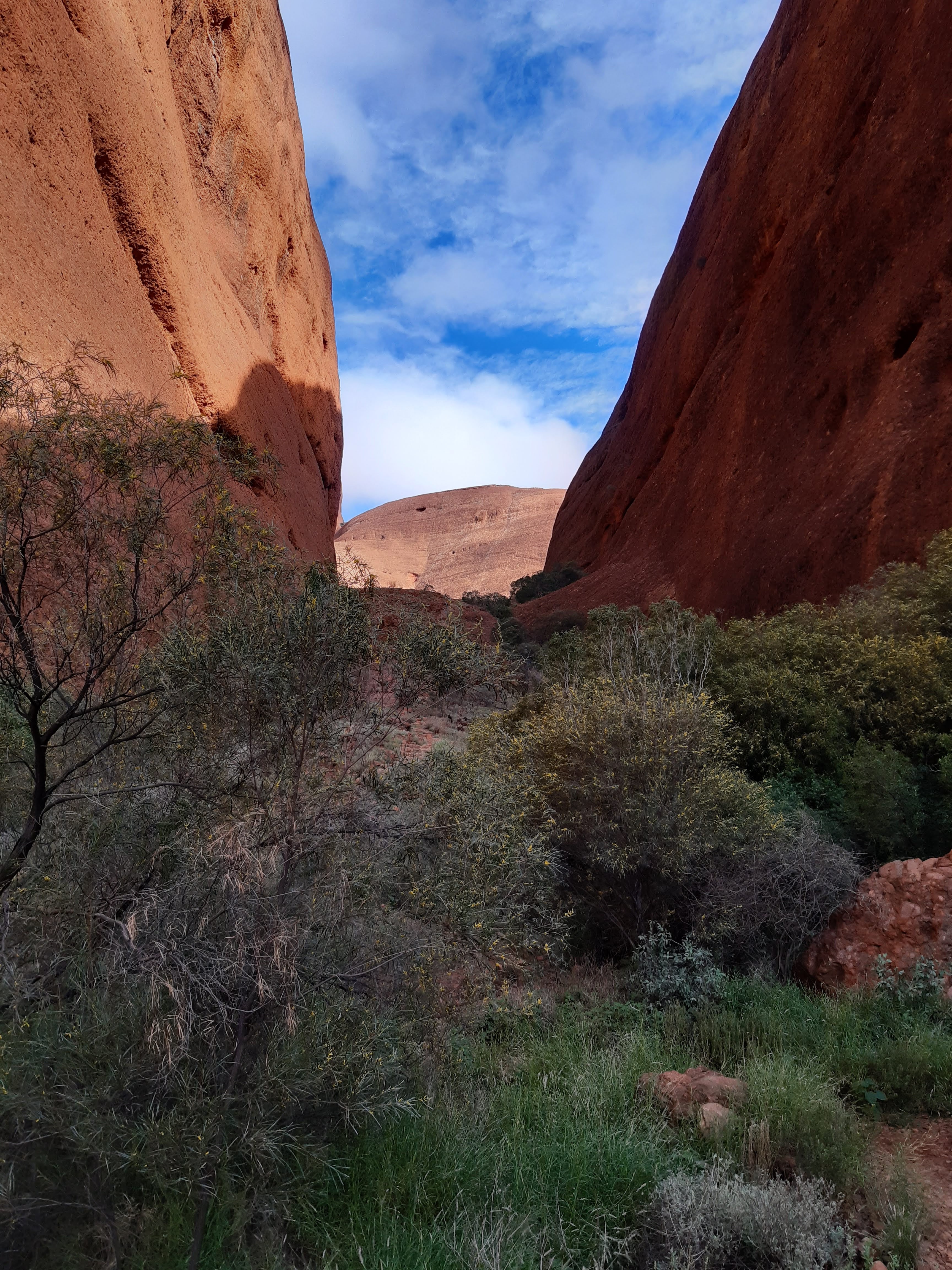
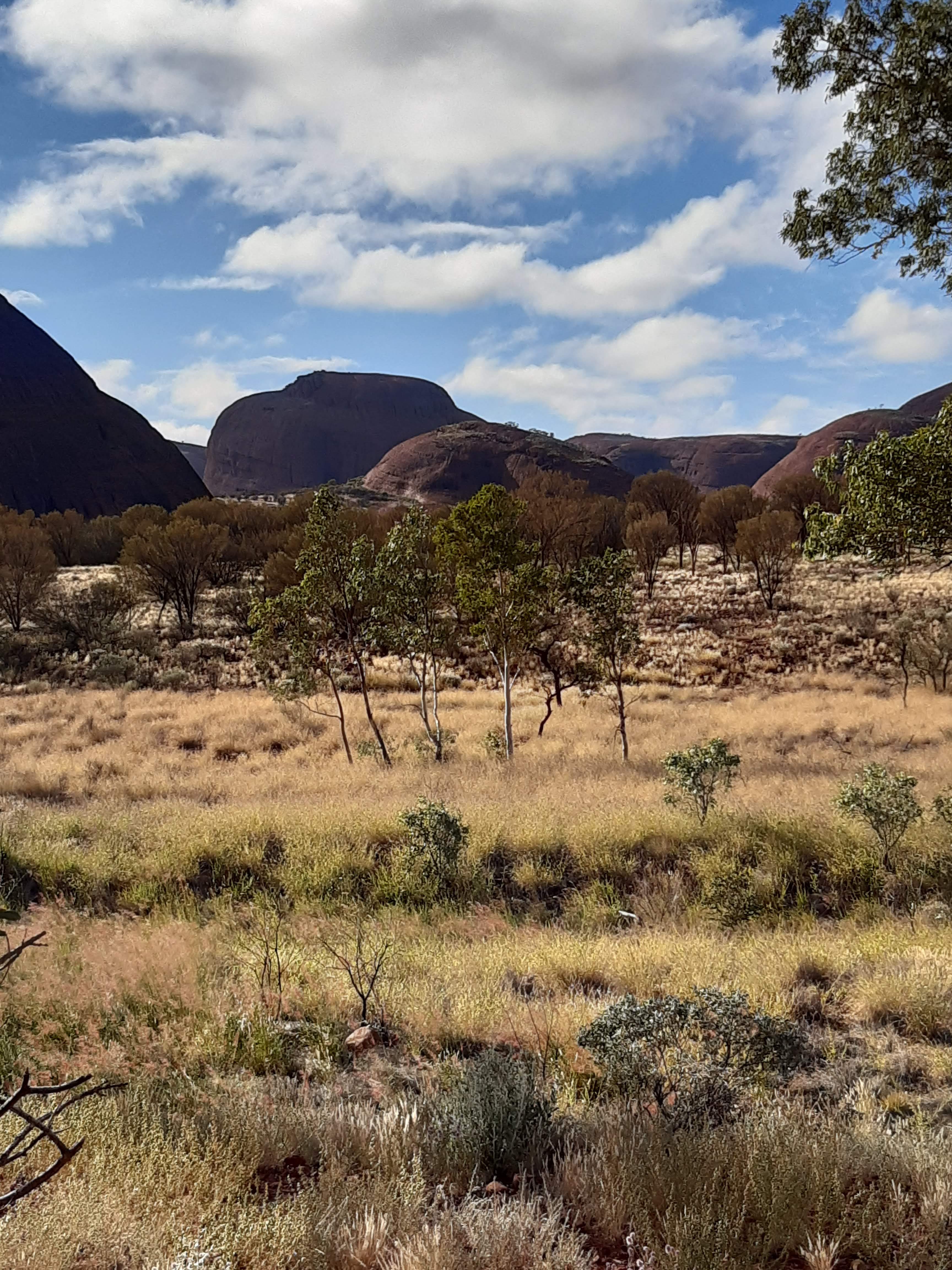
Next morning I was off in my Britz van, back to the National Park and to Kata Tjuta formerly called The Olgas. I headed to a walk called the Valley of the Winds, which is listed as 7.4kms. The walk started off fine and the first lookout called Karu lookout some people bailed out.
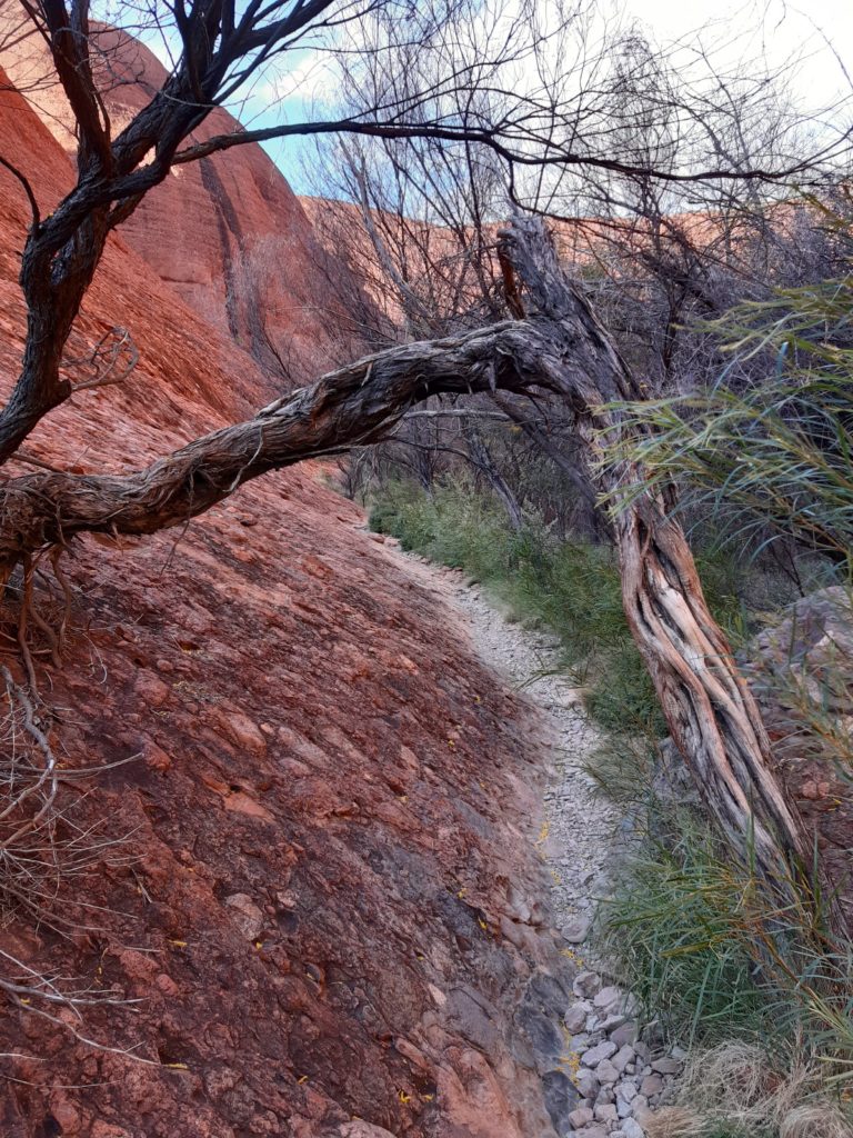
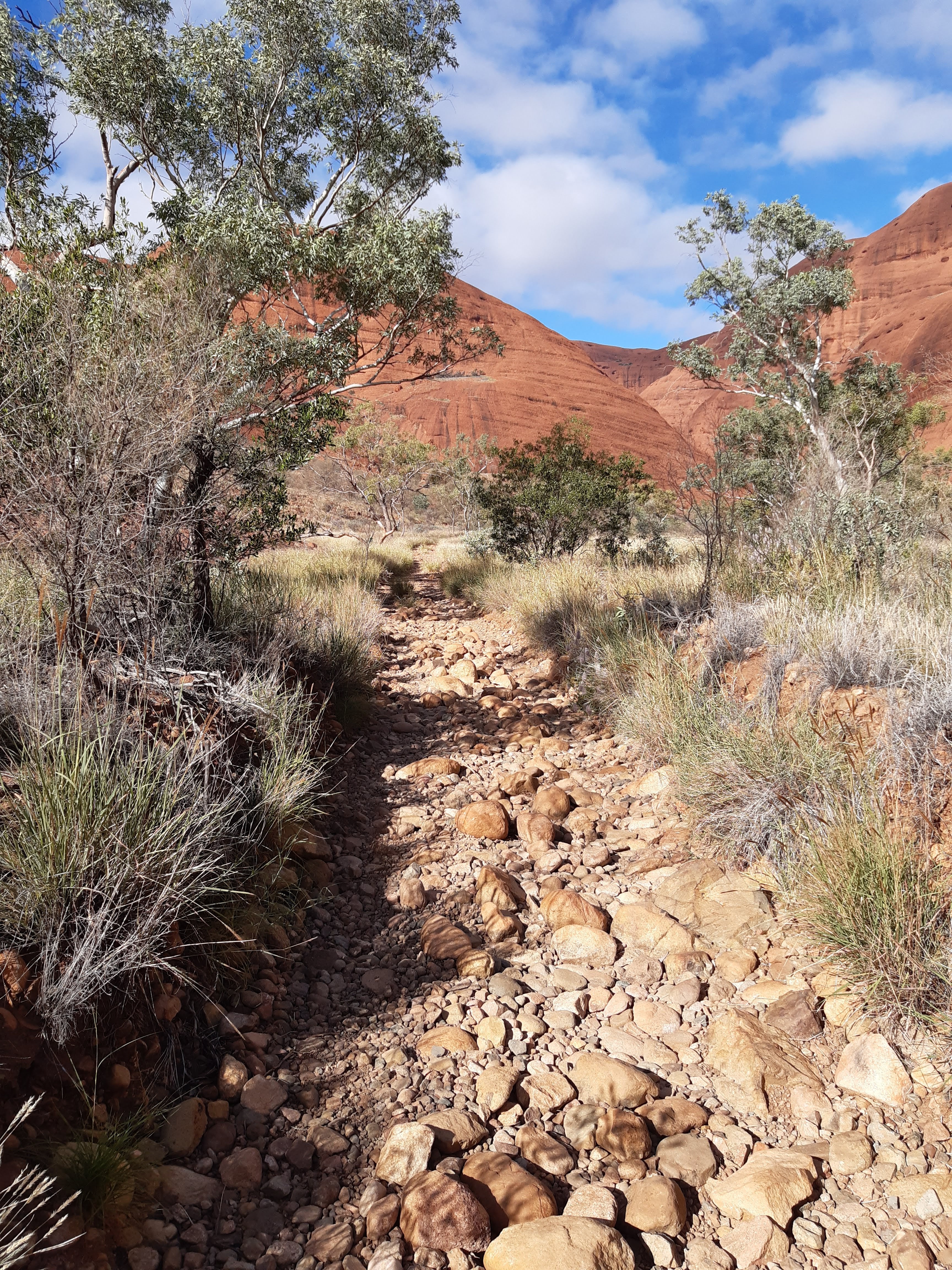
Karu Lookout. Certainly not a hard walk, but many people turned back.The track was good and again, plenty of flowers and vegetationAs previously commented, there had been good rain some months ago and it was still evident.The track was good up to the Karingana LookoutThe Karingana Lookout. The path up was quite steep, but the path down had some high step downs which seemed to deter more people.The view back up to the Karingana LookoutAs previously commented, with the recent rains, the vegetation was bountiful. The walk was nice, very easy and mostly flat.The last part of the walk back to the carpark, was along a dry riverbed, which was really good.
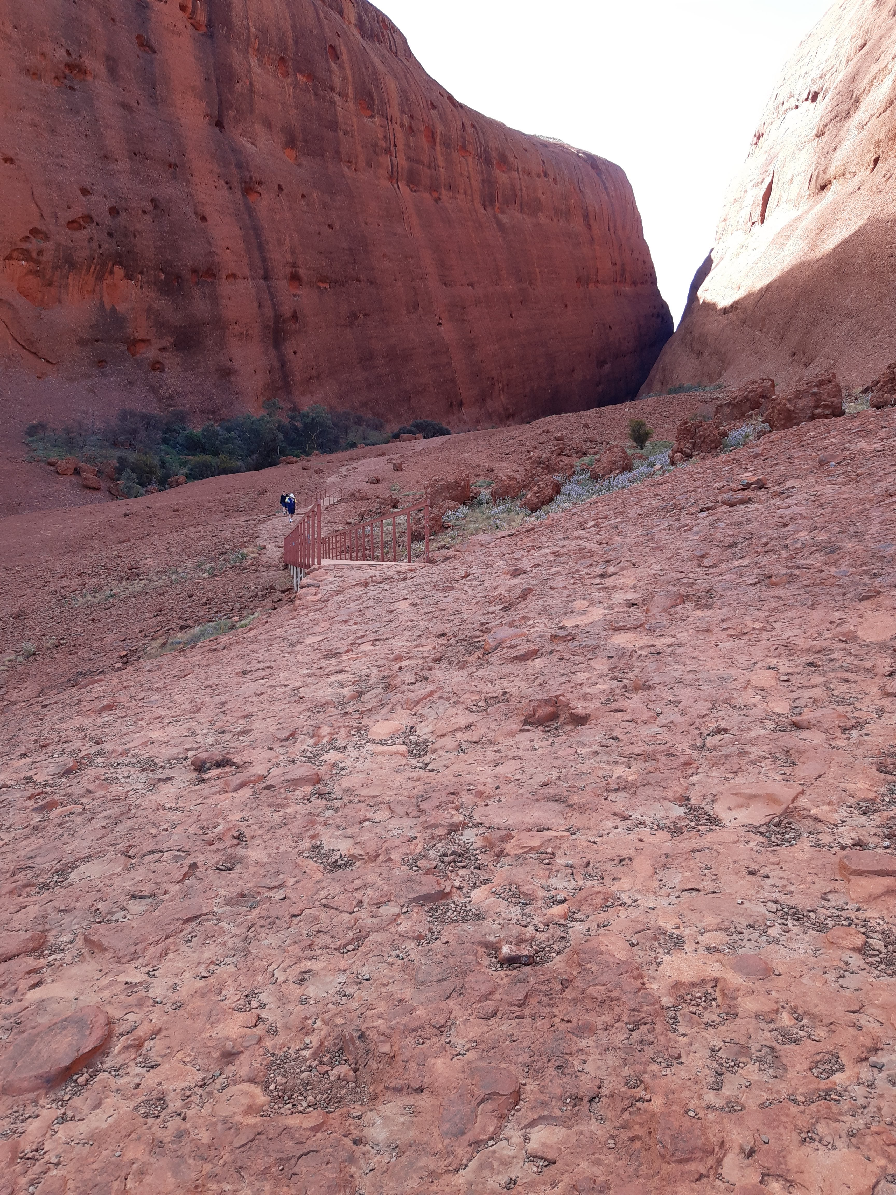
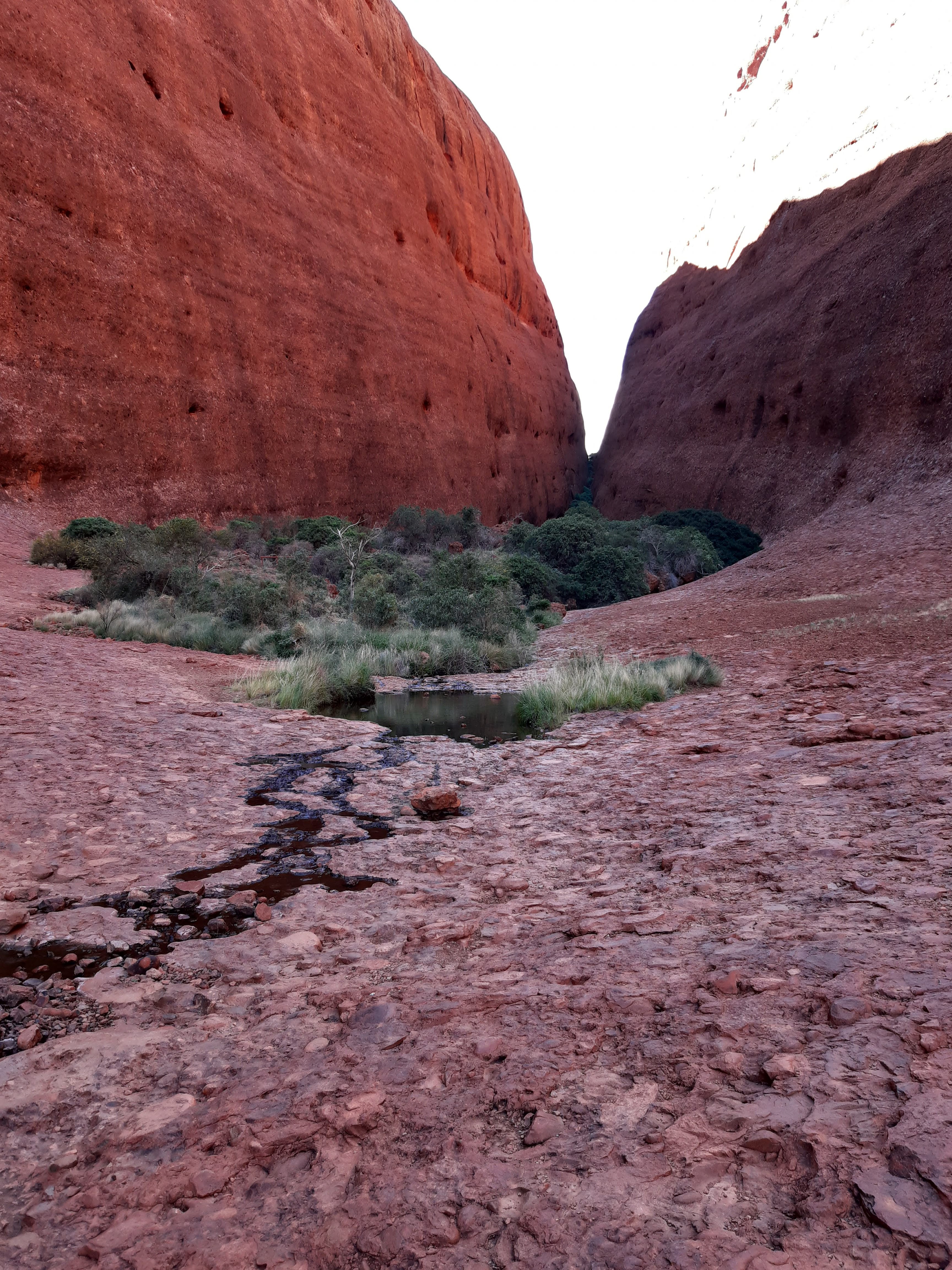
After finishing the Valley of the Winds walk, I drove over to do the Walpa Gorge Walk. This is a short very easy walk up into the gorge
The track up the Gorge is well marked and easy.The Gorge had water in it and is was very lush. The walls of the Gorge are very steep, but it is interesting that wallablies use the holes on the walls as their homes and can be seen I am told hopping around on the domes.Finishing the walk, heading back to the car park, the view across to Uluru
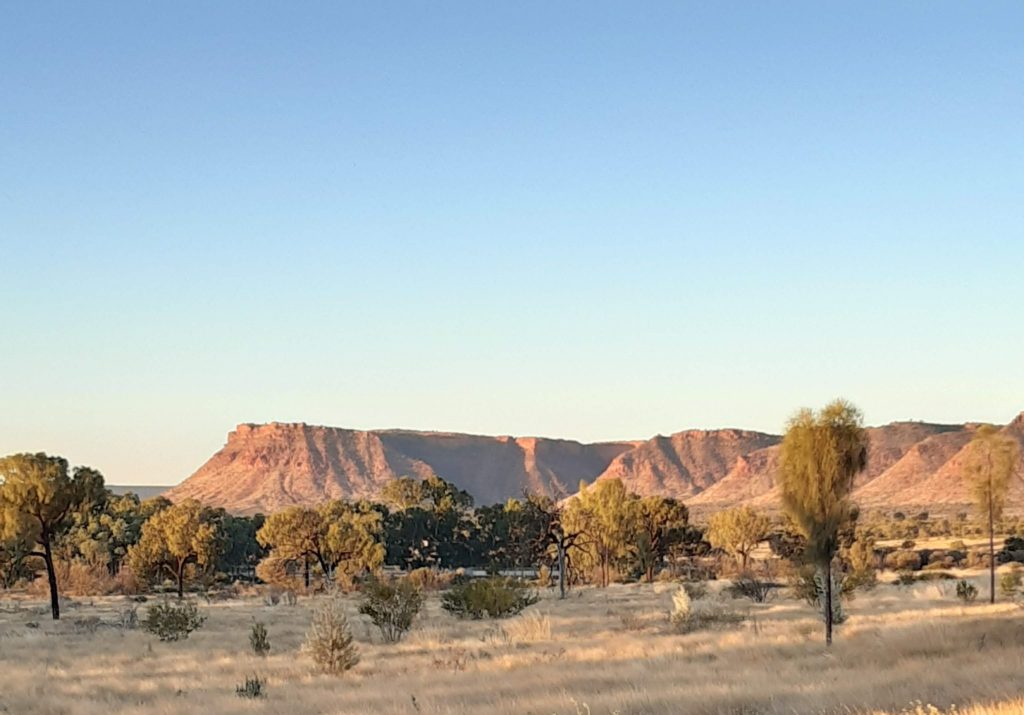
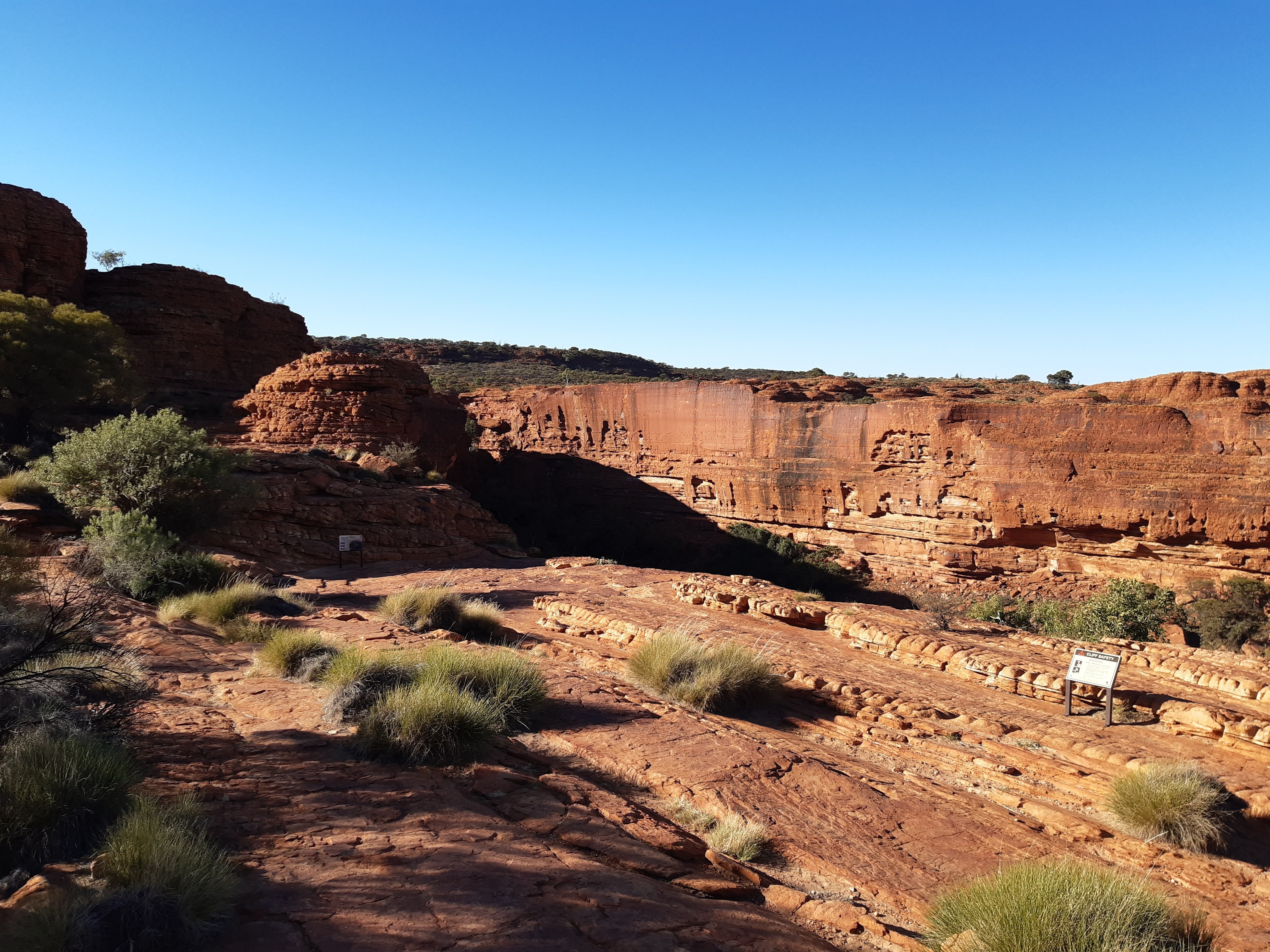
After finishing that walk, I started the drive to Watarrka National Park to visit the Kings Canyon. This was a 300km drive and I arrived in the late afternoon. As with Uluru, watching the sun go down over the Kings Canyon is quite a sight.
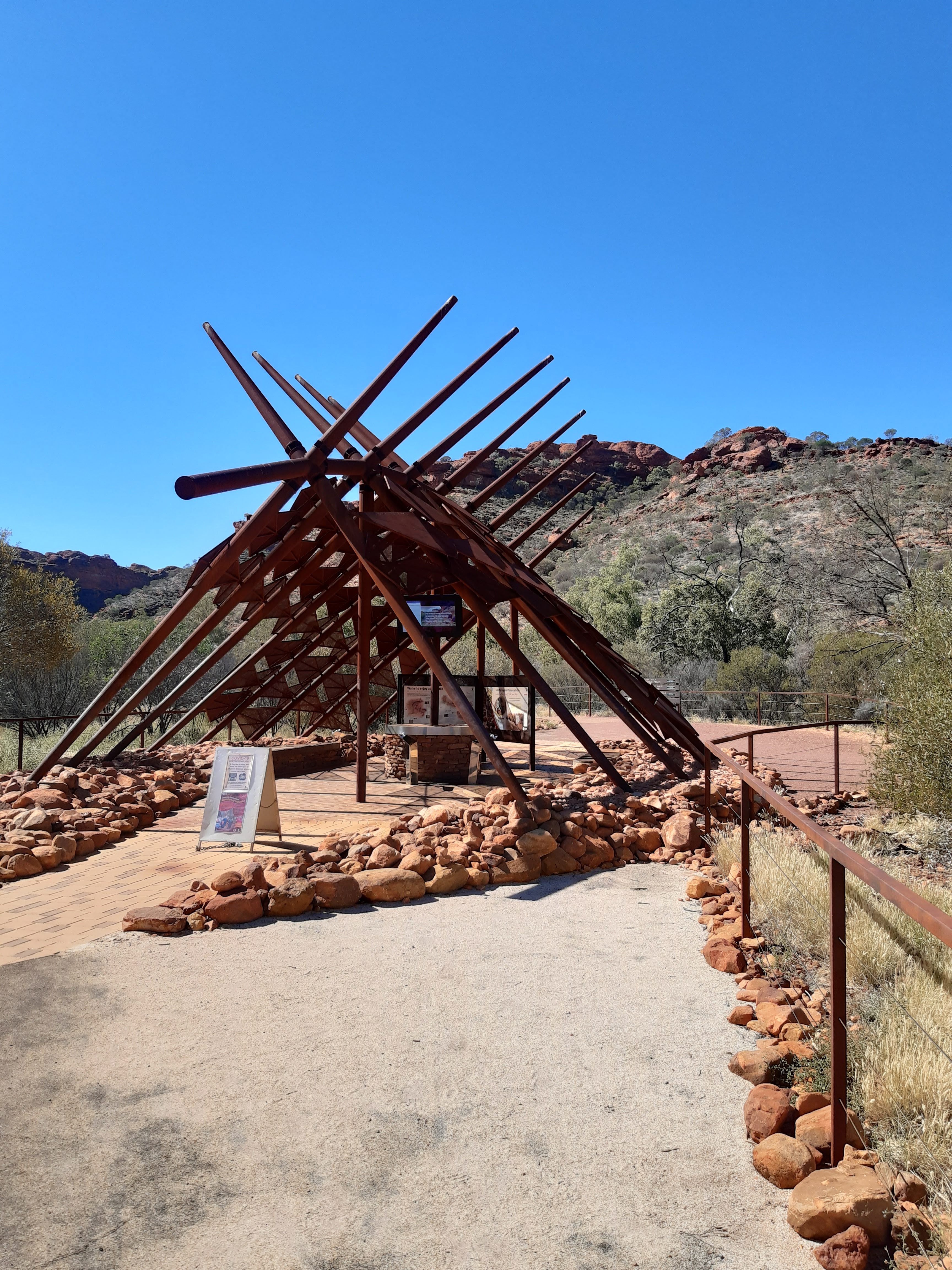
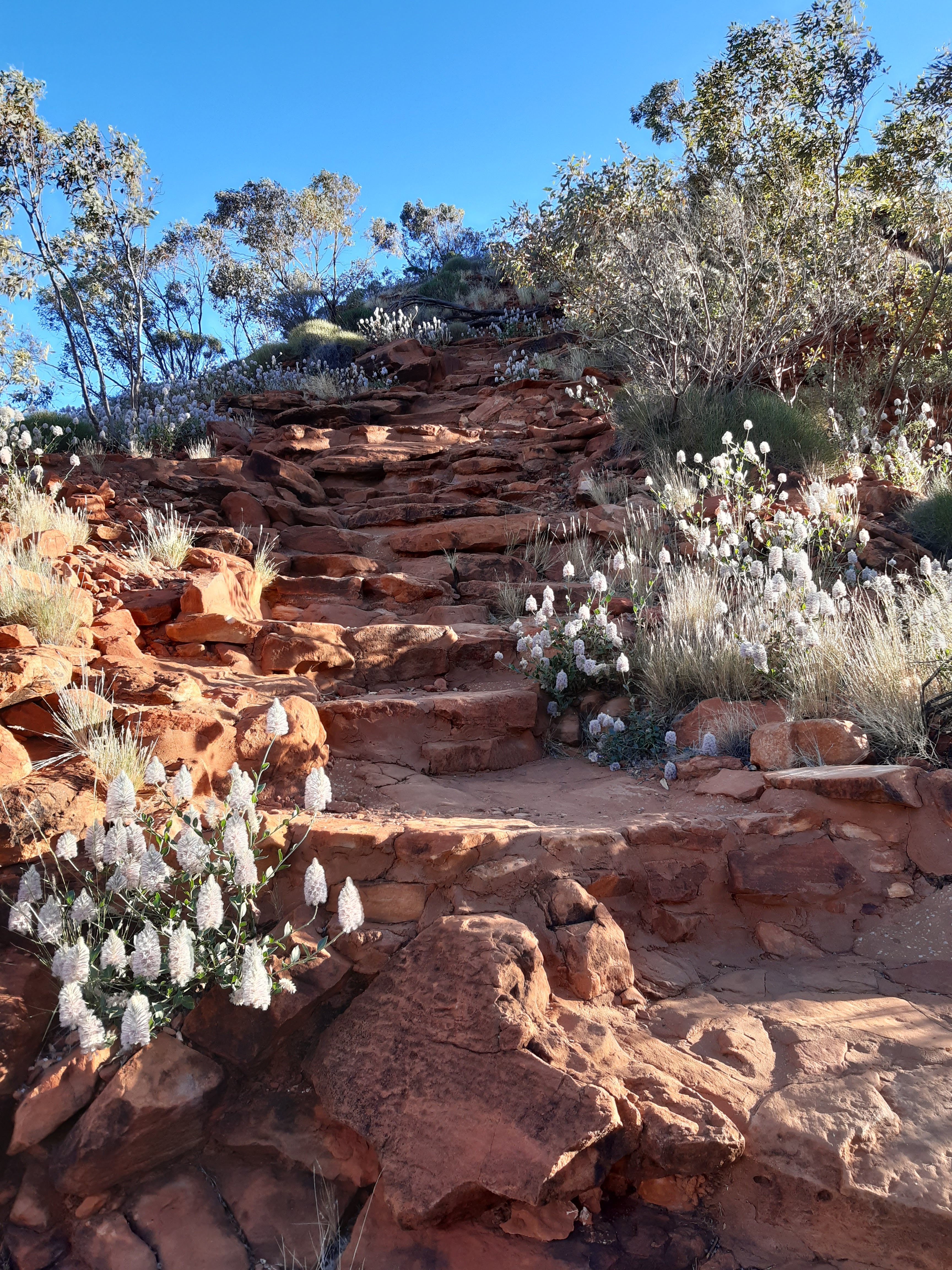
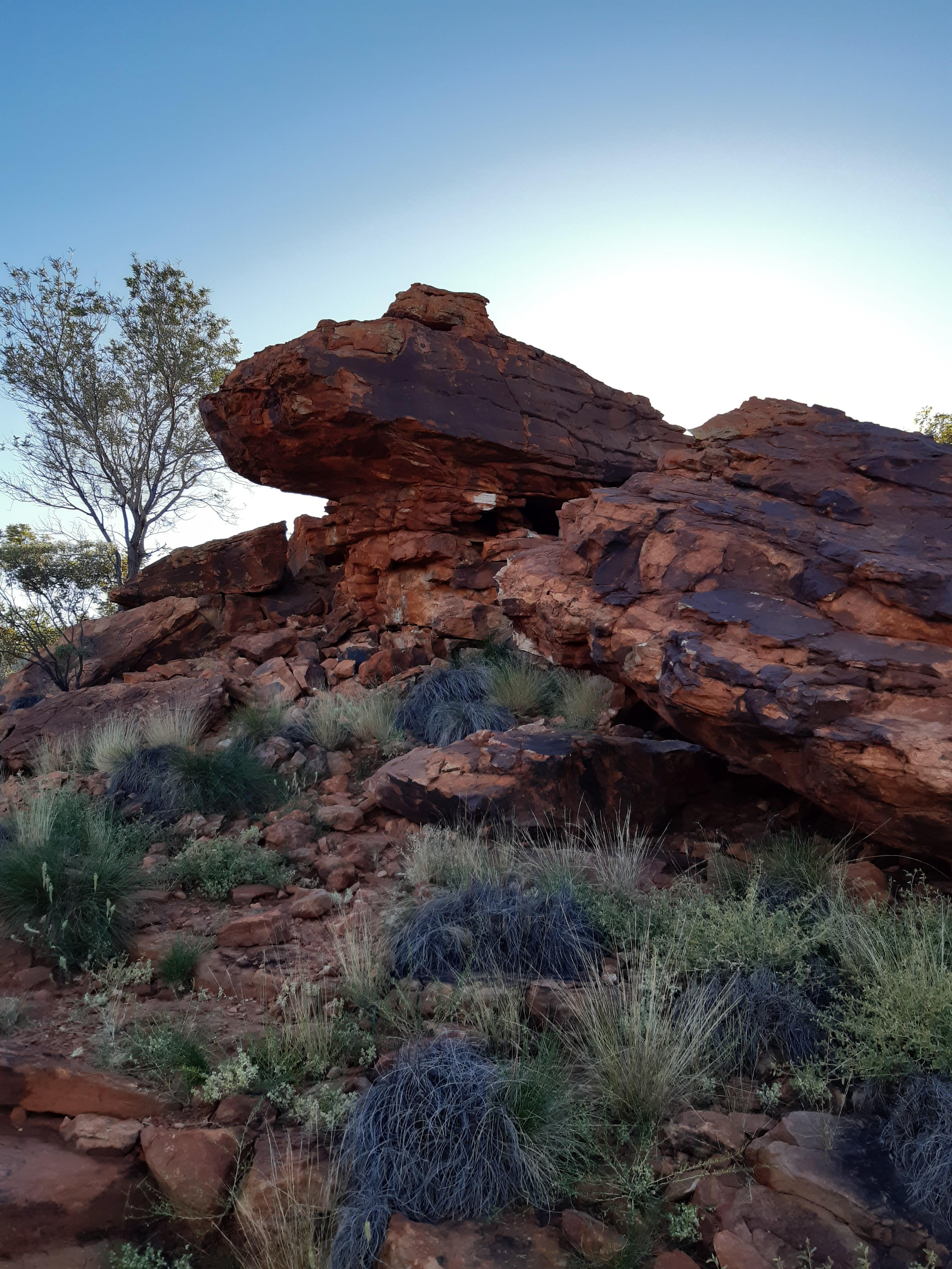
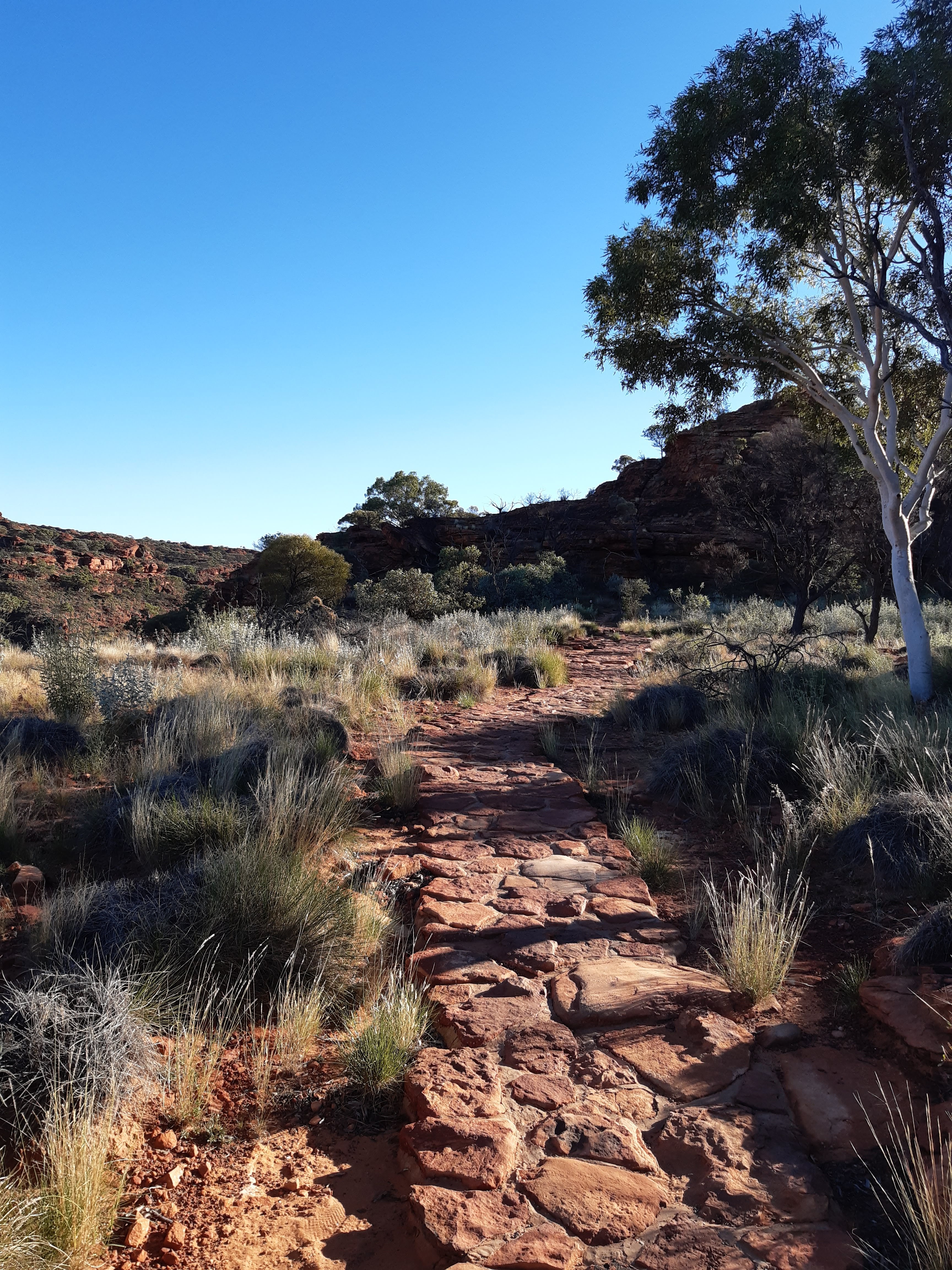
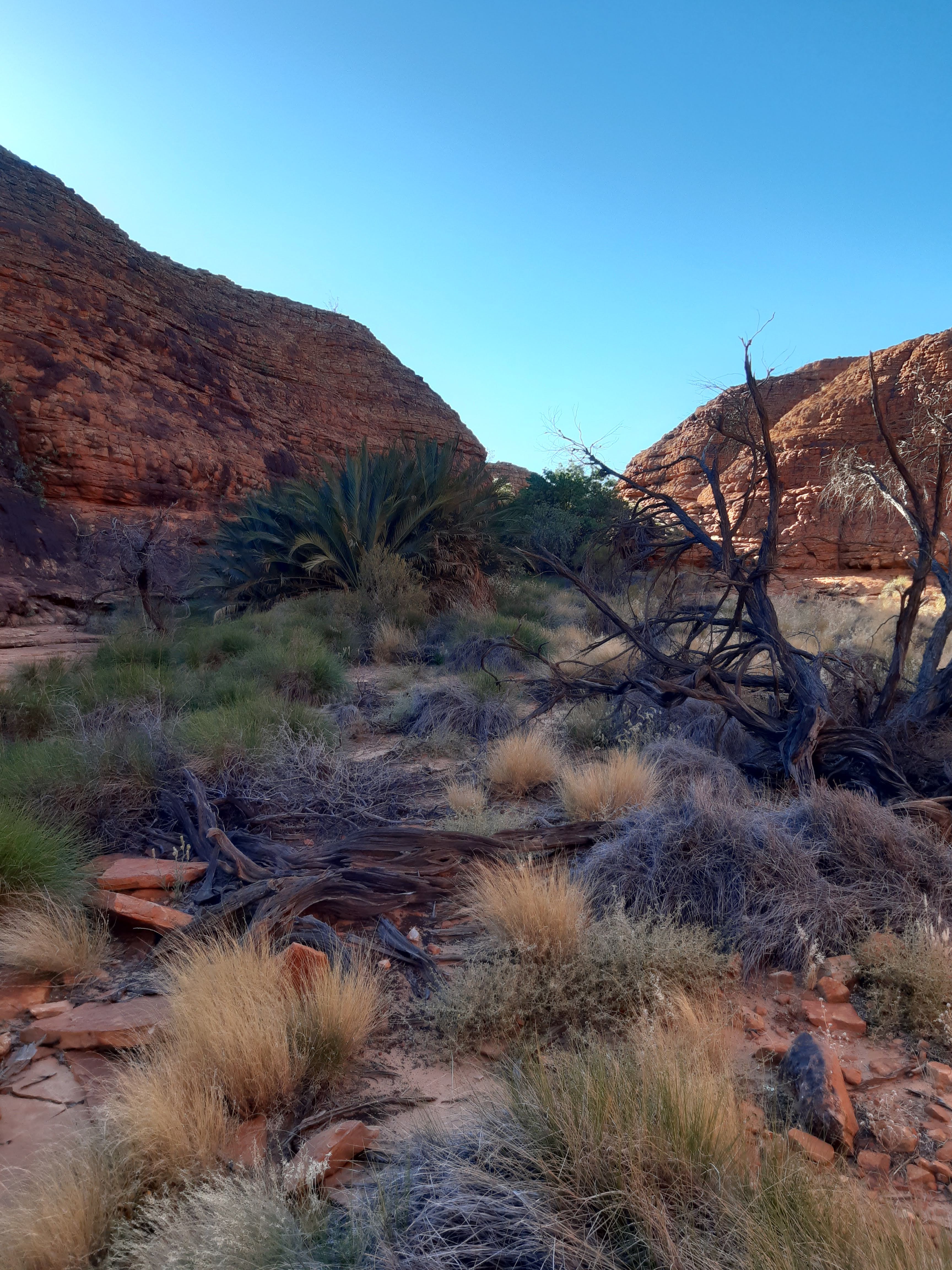
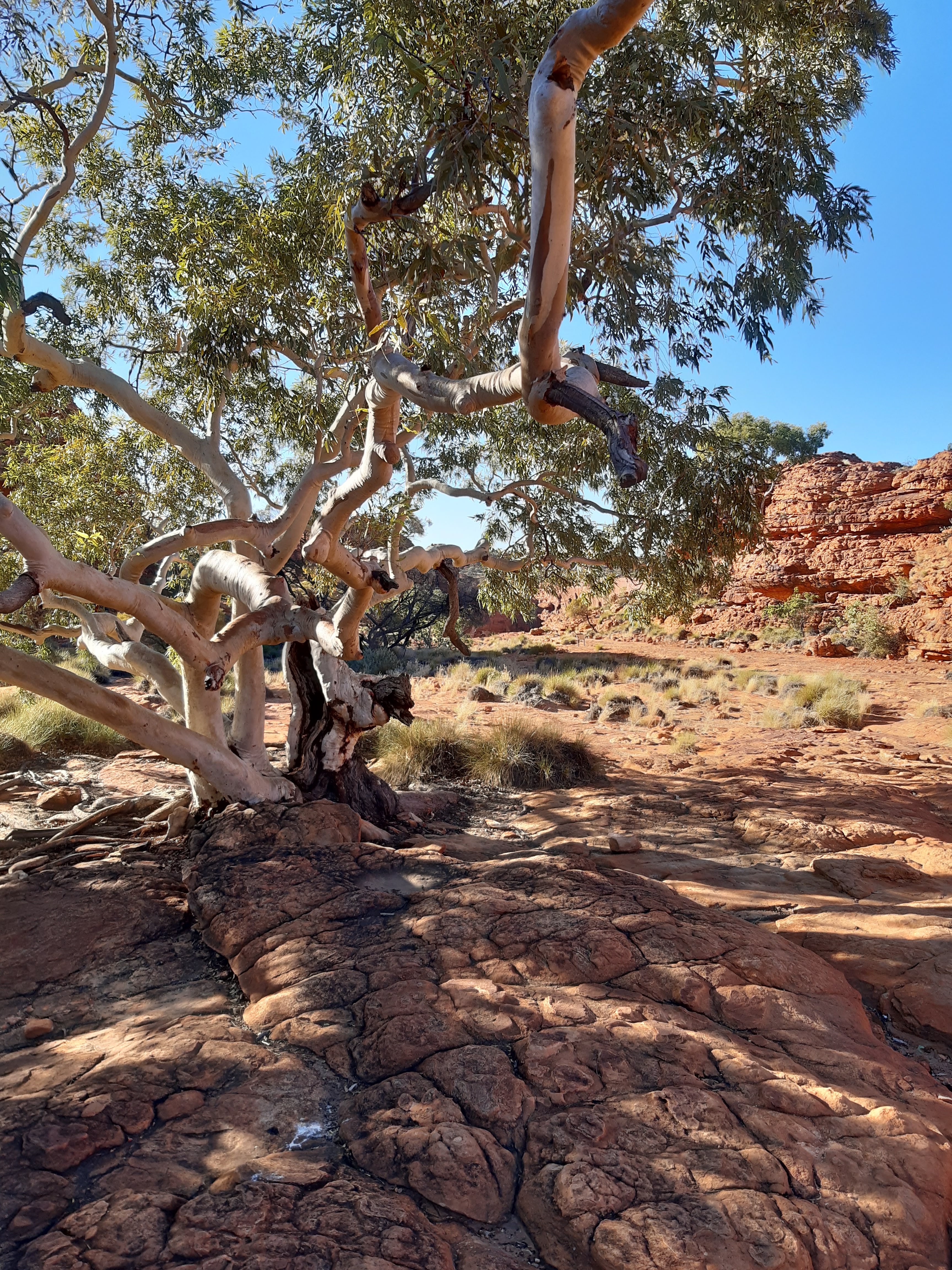
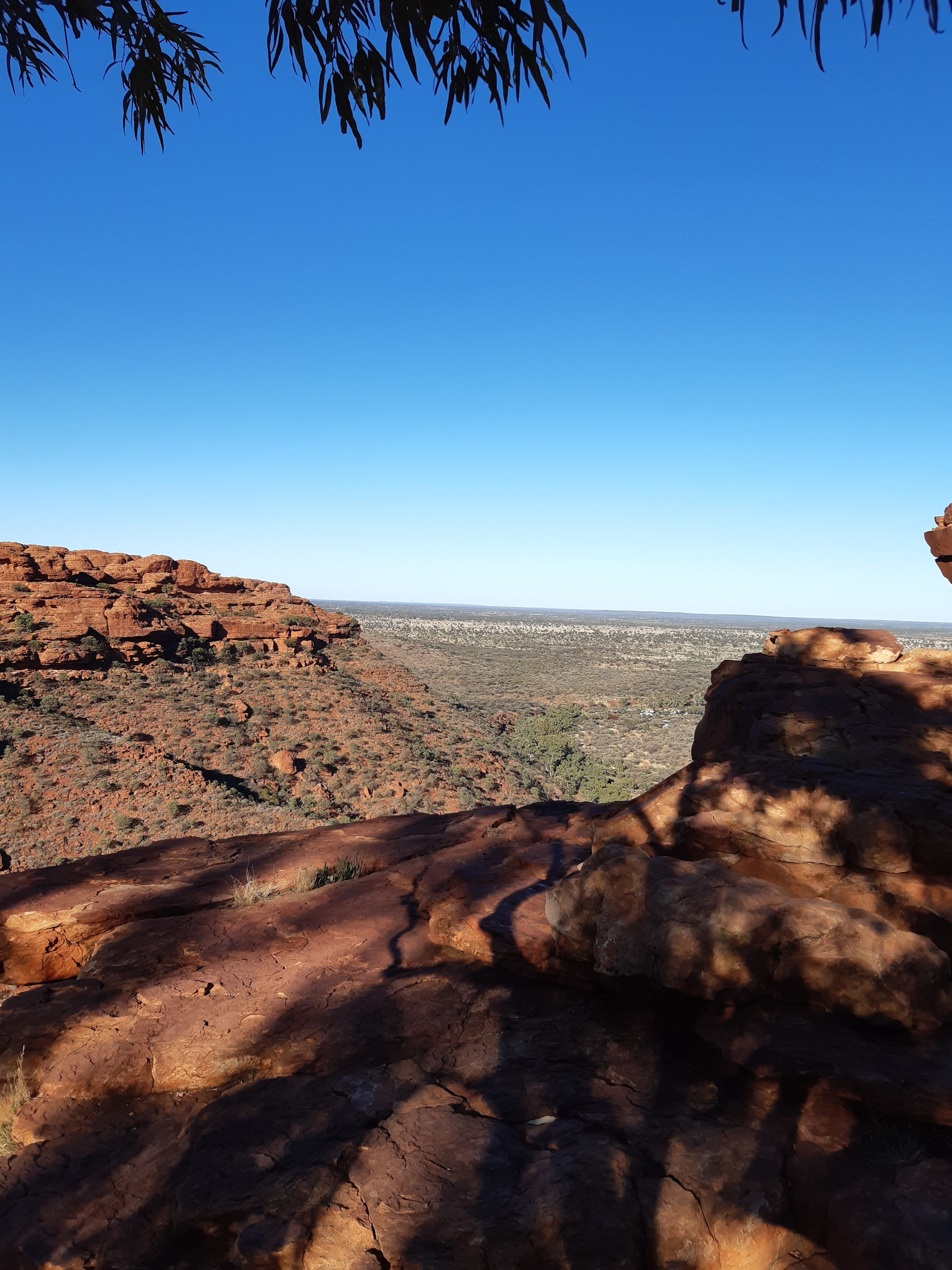
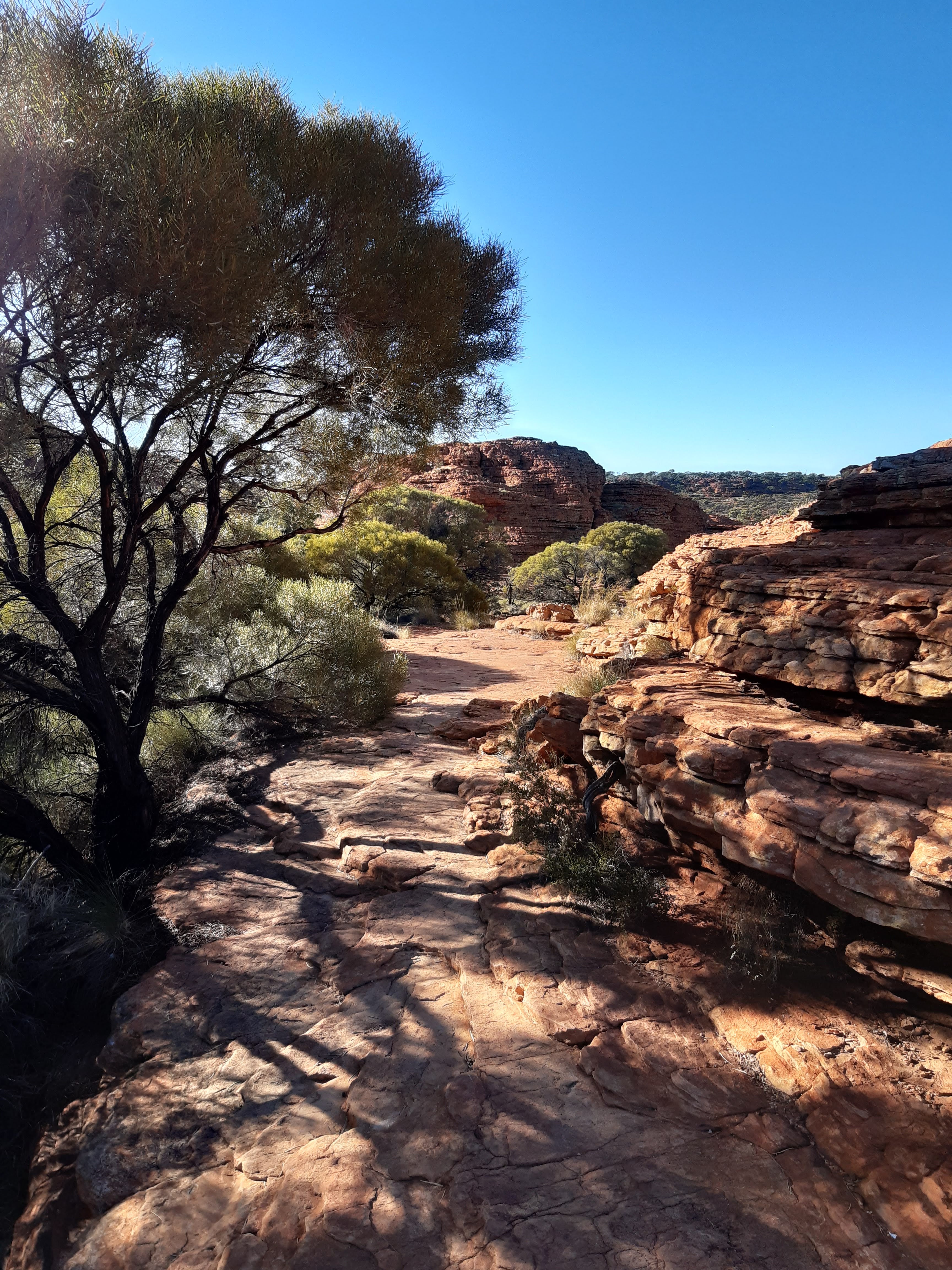
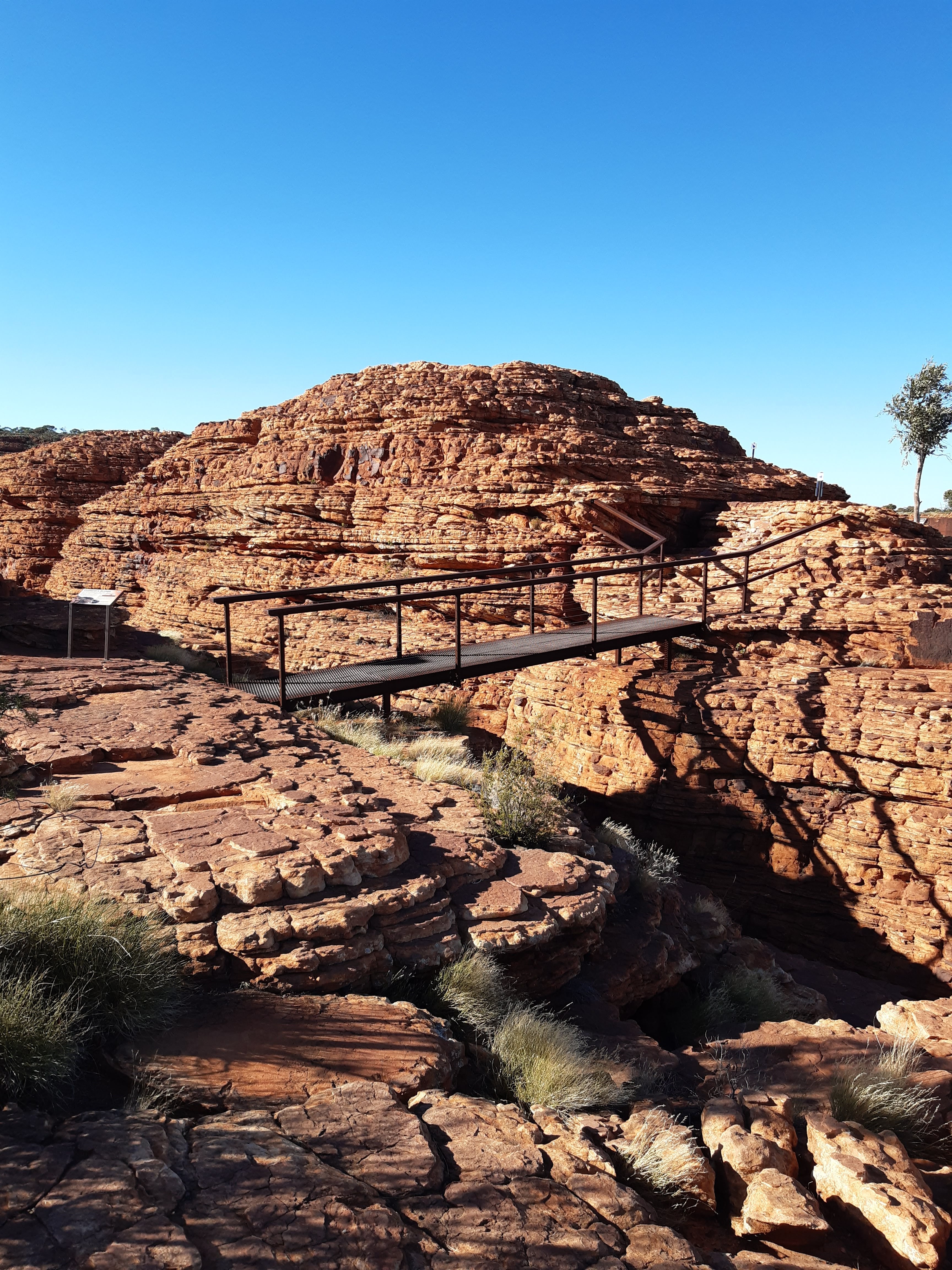
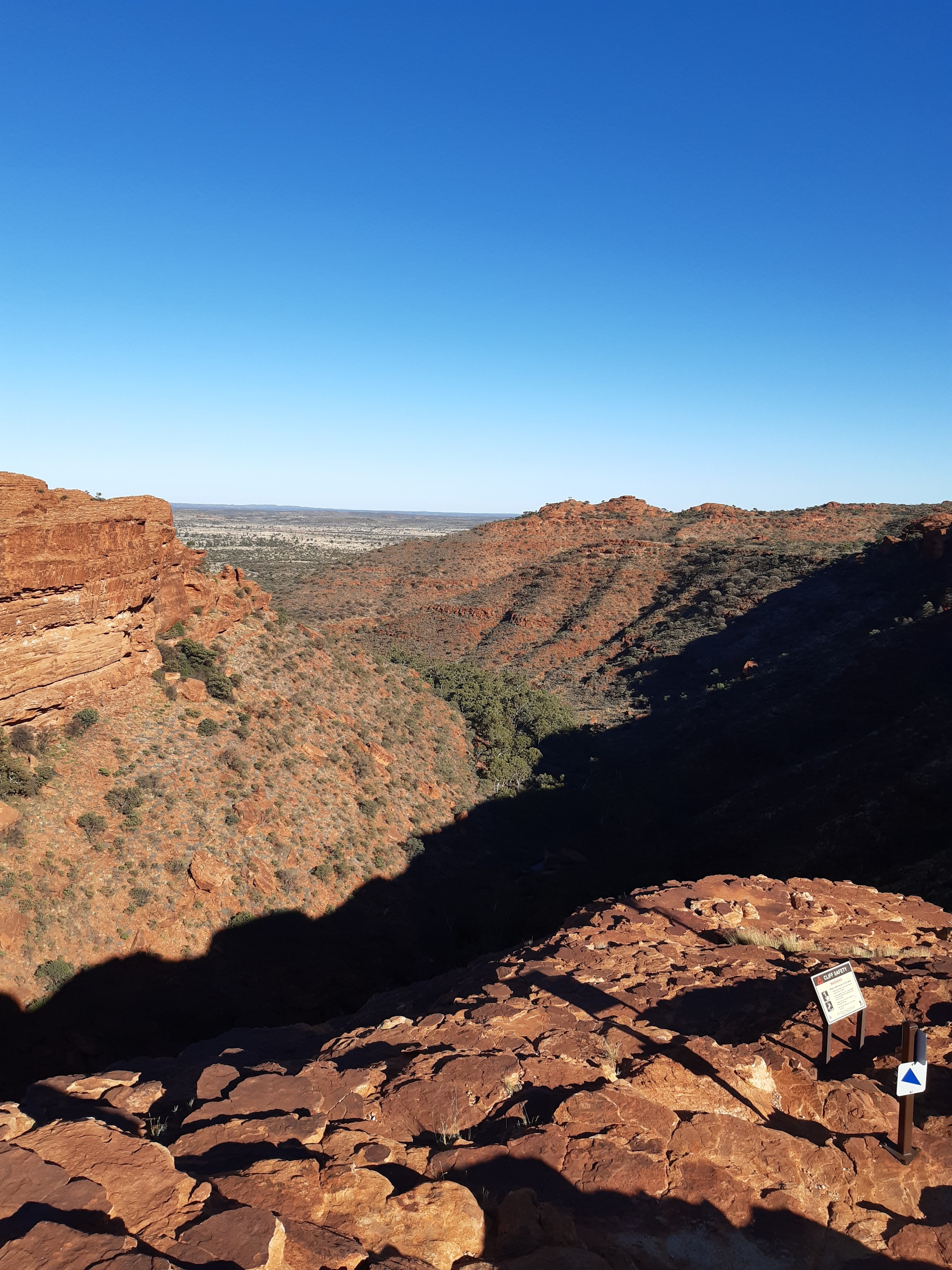
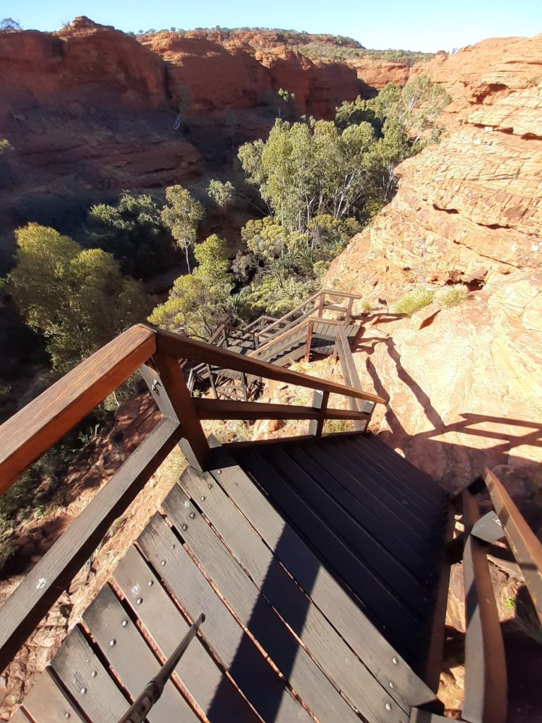
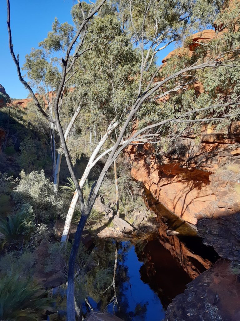
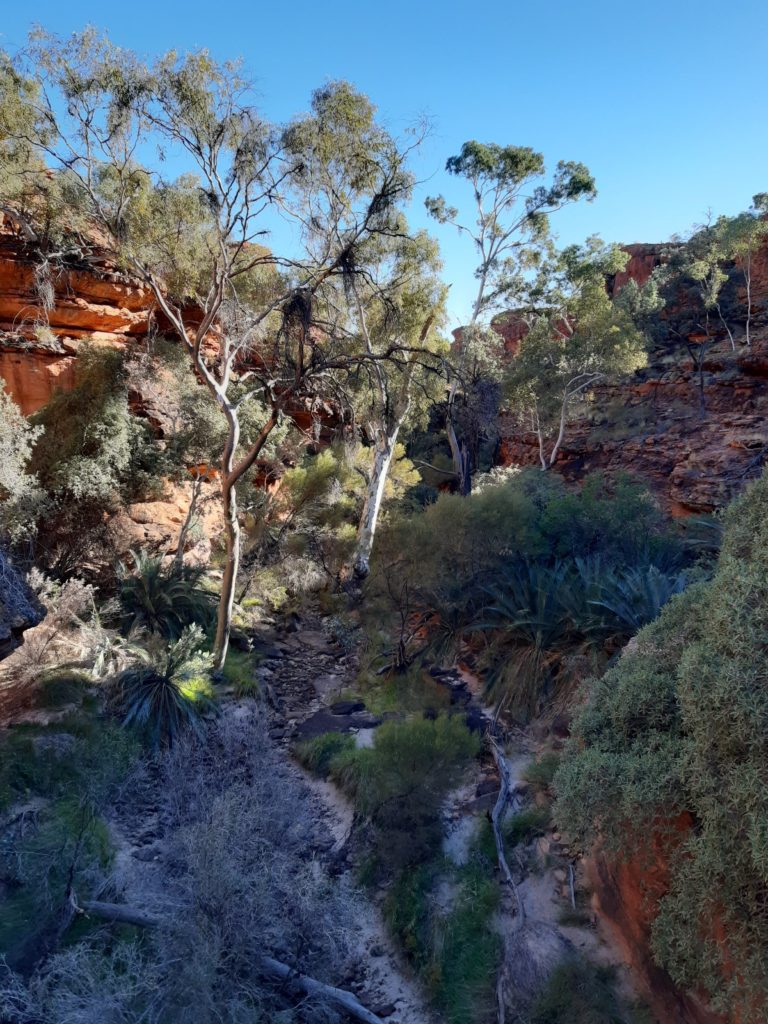
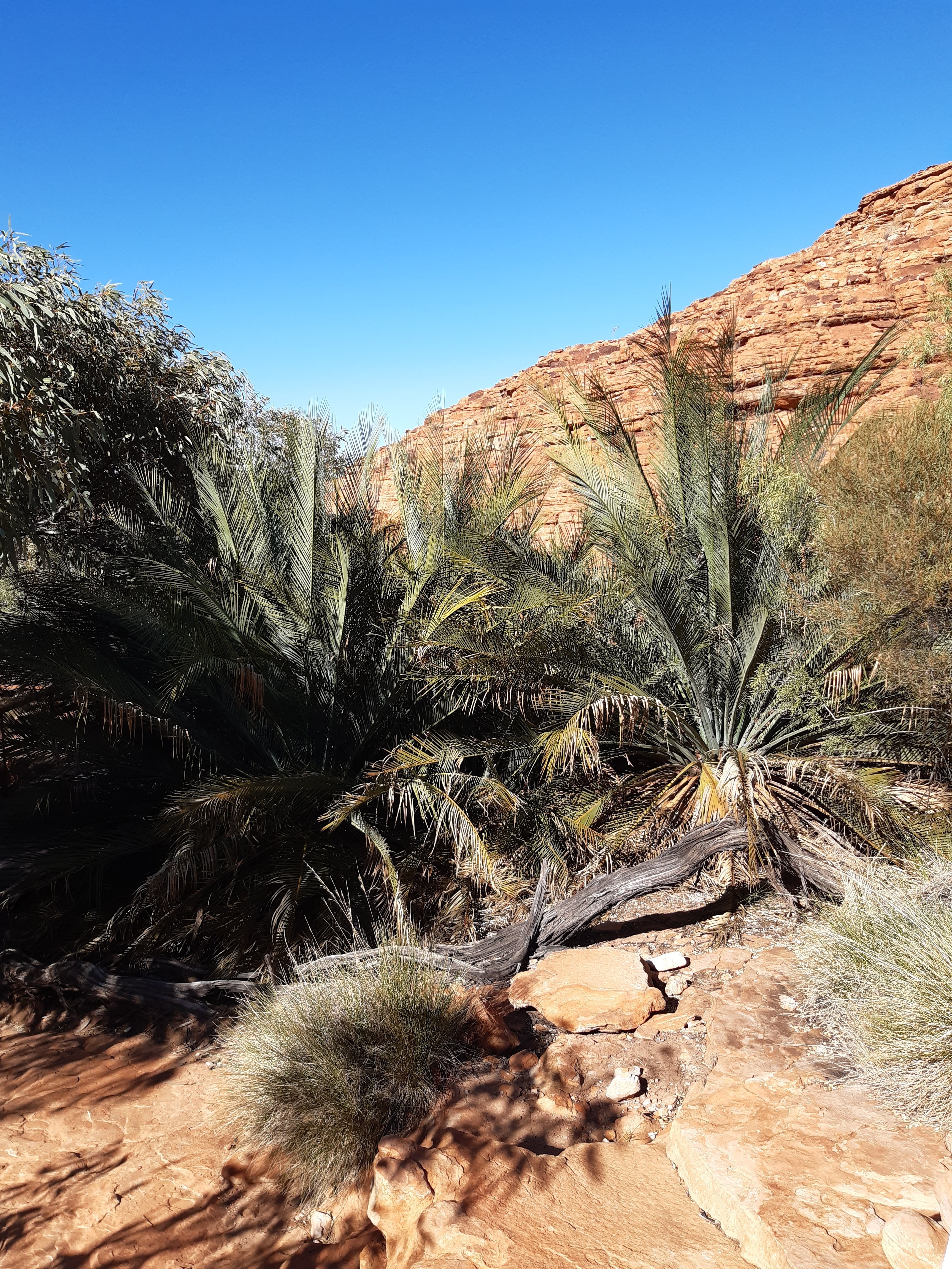
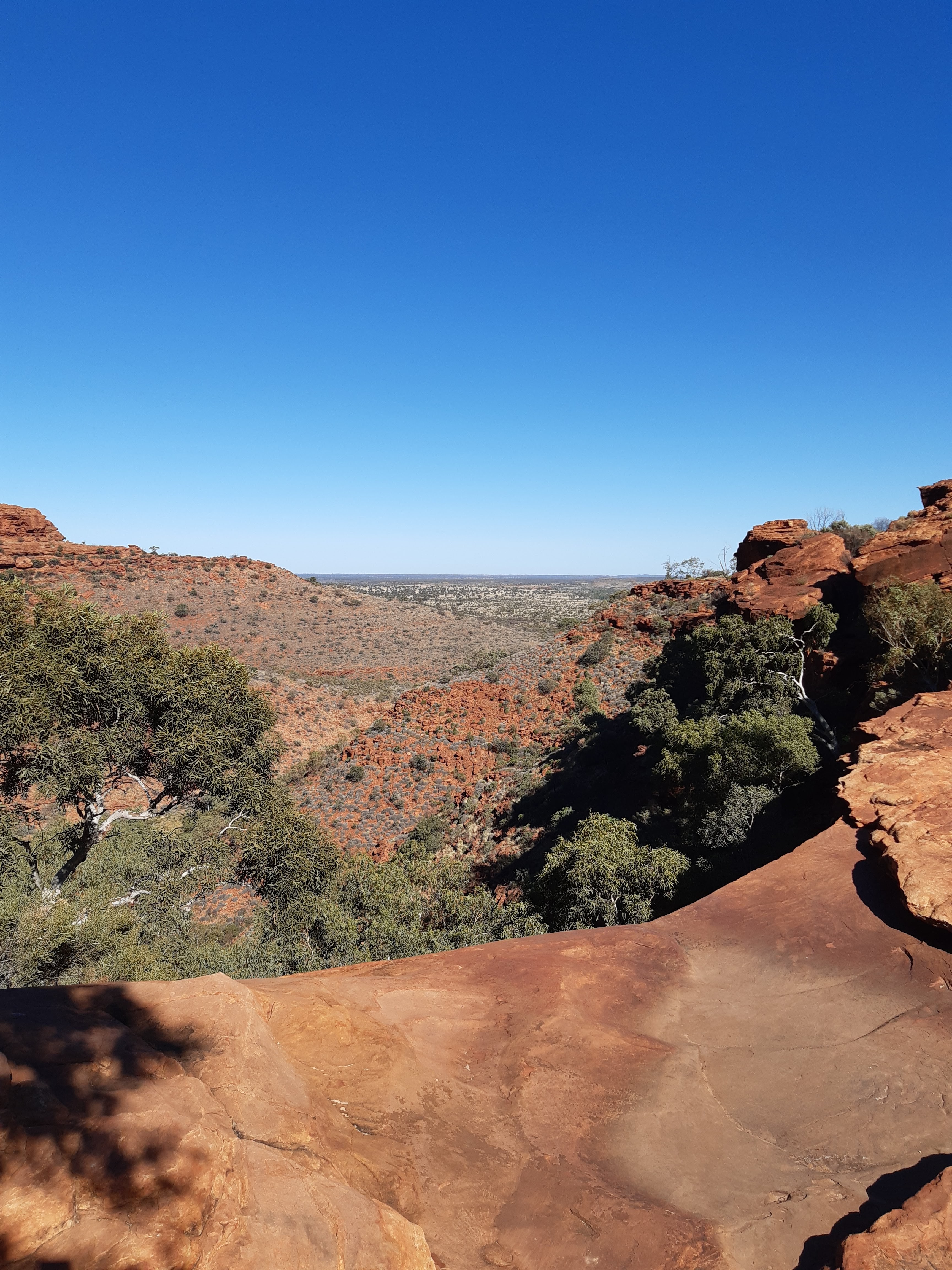
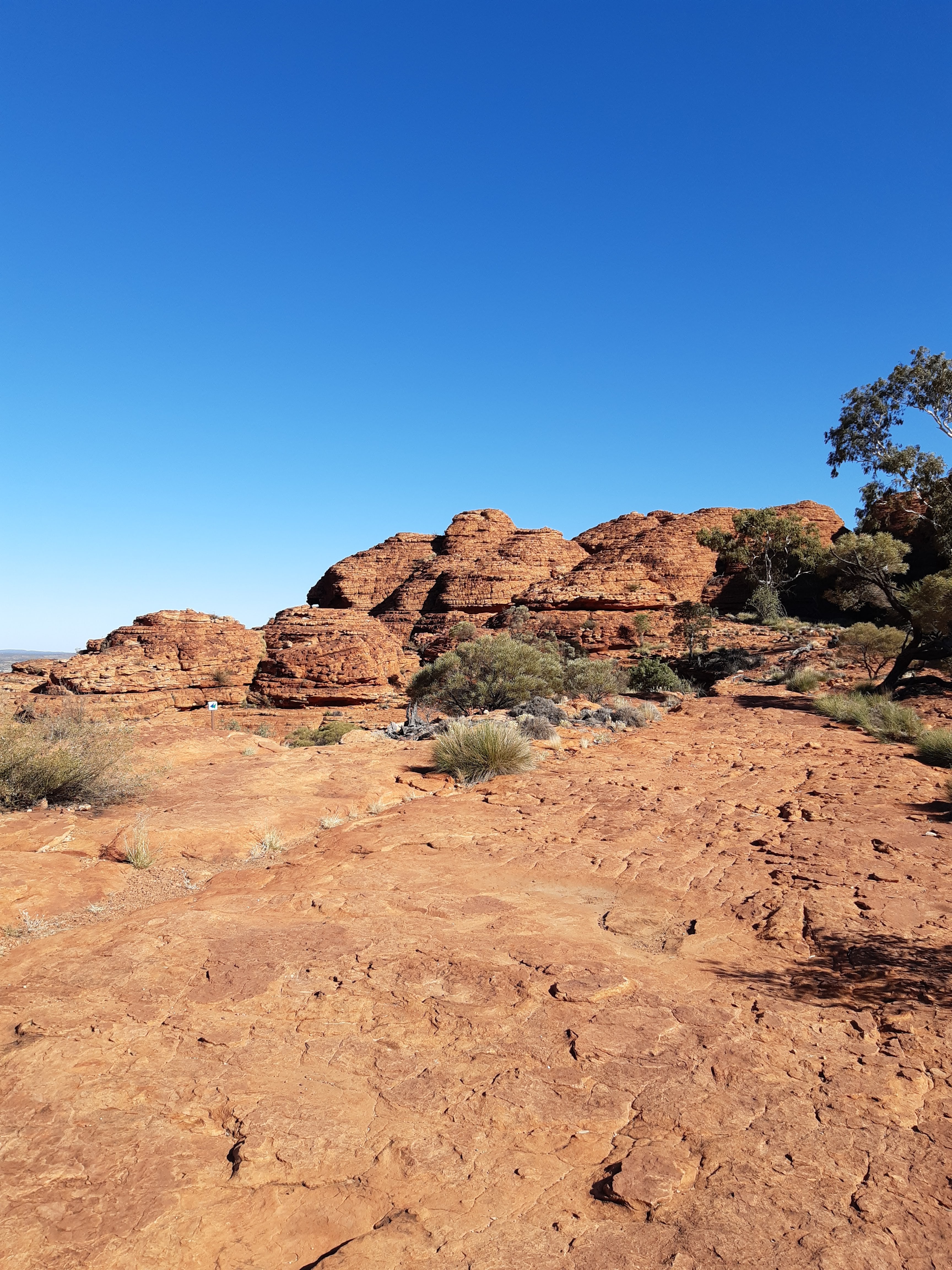
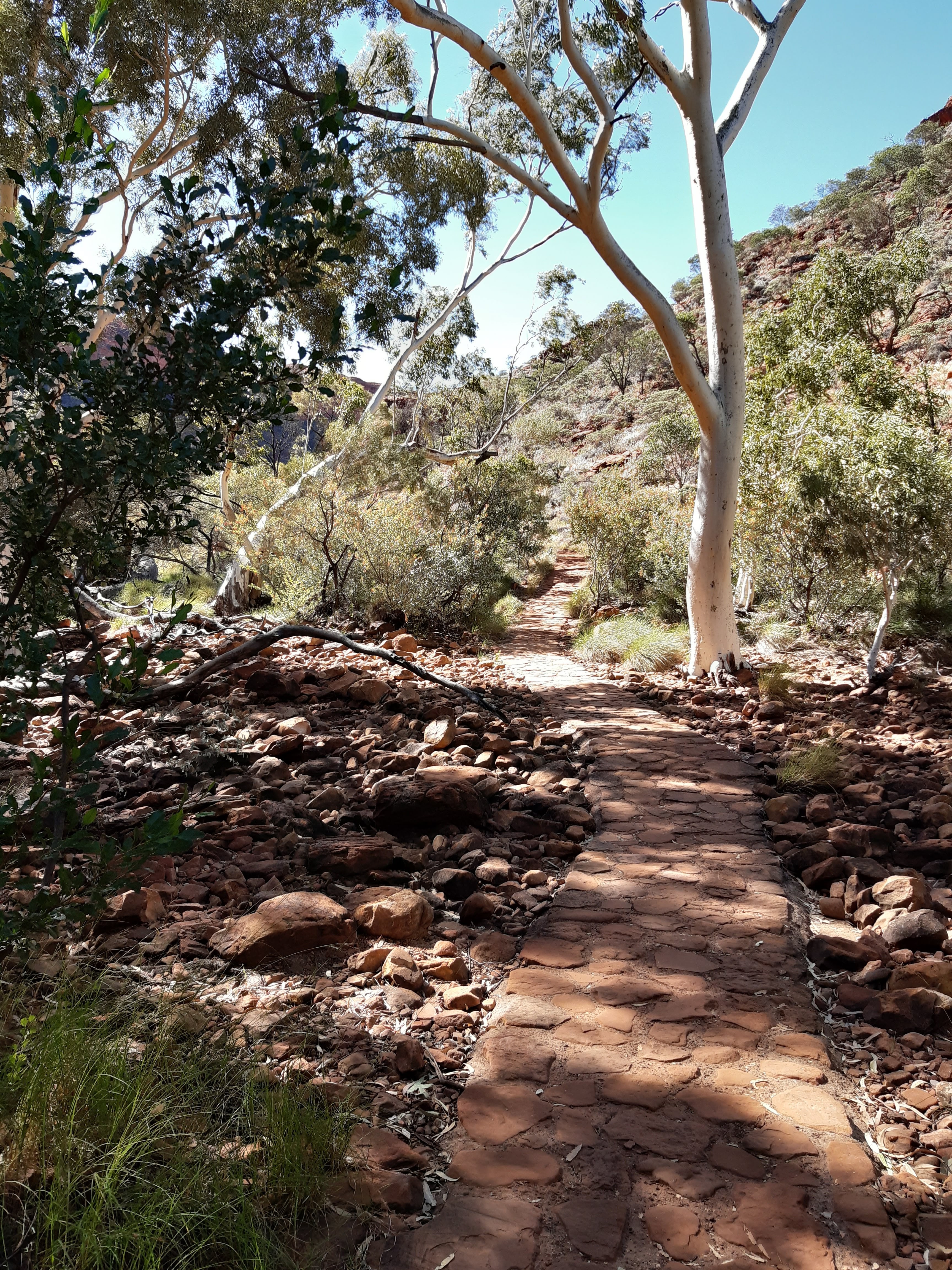
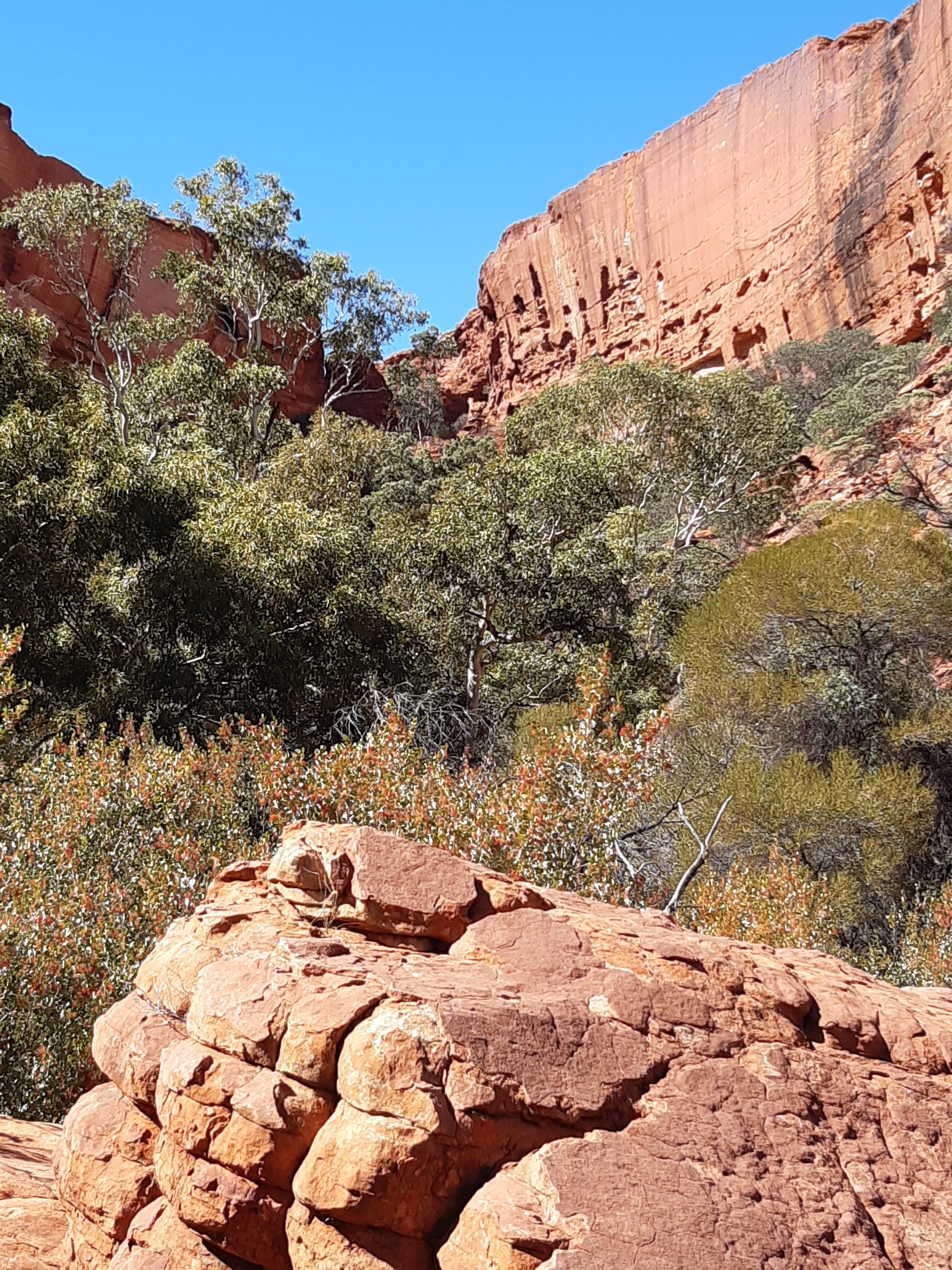
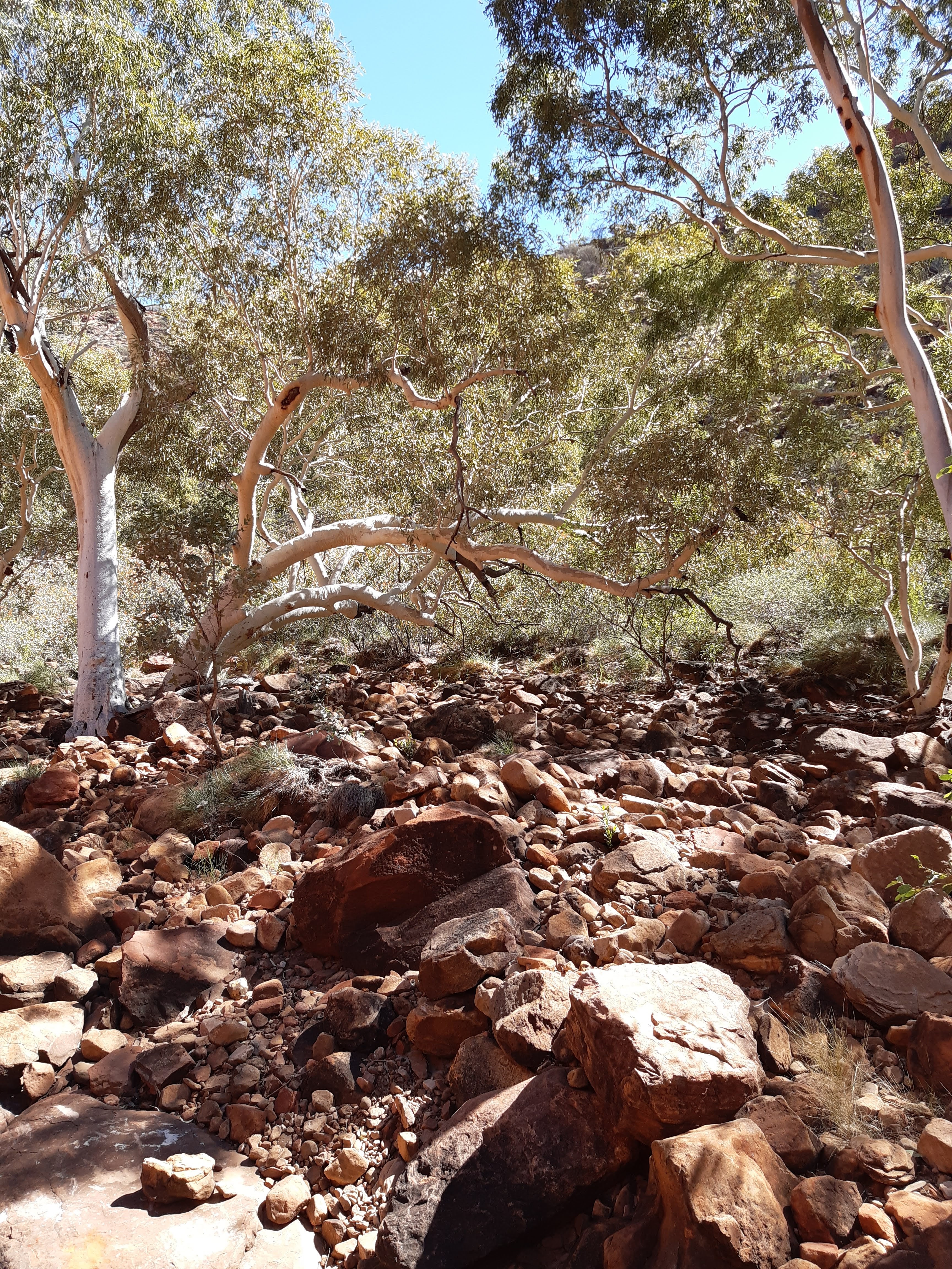
The sun setting on the CanyonThe entrance to Kings Canyon. It is very well laid out and alot of information provided, including video presentations.Next morning I drove out to the Kings Canyon car park and started the Canyon Rim Walk. The walk is outlined at 6kms and the start is an uphill climb of approximately 500 steps. Nearing the top of the steps, a large rock is lodged perilously. The sun was just coming up over the crest and made the rocks a beautiful colour.After finishing the stairs, the path at the top was excellent. The elevation gain was about 250 metres.Whilst I know I should have been appreciating the view from the top, the landscape was awesome as wellYou wonder how these trees survive. What an interesting place.A view from the top, didn’t want to get too close to the edge !Such a great place to walk, with the thick vegetation a real pleasure.View across the Canyon wallsCotterill’s Bridge to the lookout. The original bridge was built in 1962, but collapsed in 1991. I walked across the bridge and started up the steps to the top of the lookout. The wind was blowing a gale and I decided to take a seat and just enjoy the view !!The view from the lookout was amazing !!The track brought you to a series of bridges and staircases, which gave you a view of what is called the Garden of EdenLooking down to the Garden of Eden and the waterhole The Garden of EdenThese cycads were estimated to be over 400 years old !!! Just amazing how they surviveBeautiful views on the way downSandstone Domes on the way down to the carpark.
After finishing the Kings Canyon Rim Walk, I decided to do the Kings Creek Walk. This was a short 2km walk on a well marked and maintained track, but a pleasure to do.
The track was easy and well marked. It was lovely just to walk through the Canyon, with the abundant birdlife around you.The track gives you an appreciation of the height of the Canyon WallsA very peaceful and enjoyable walk after completing the Canyon Rim Walk
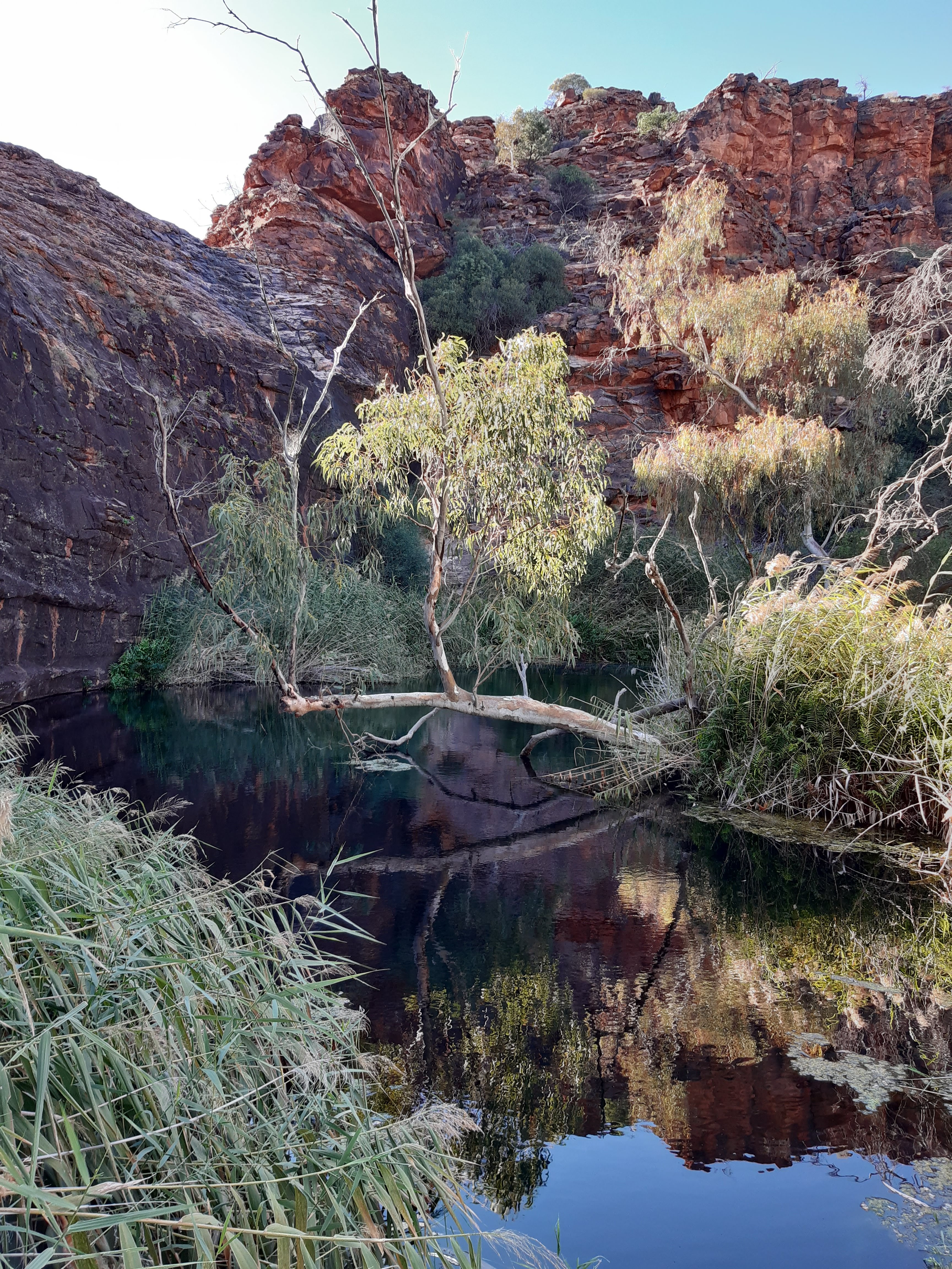
Next morning, I decided to head out to Kathleen Springs, which is about 20kms from the Kings Canyon campground as I had a day to spare after miscalculating my days. Ooops, but it was to reward me with a real find.
I headed out to Kathleen Springs and found the walk easily. It was listed as 2.6kms, so similar to the Kings Creek Walk, a short but very pleasant walk.
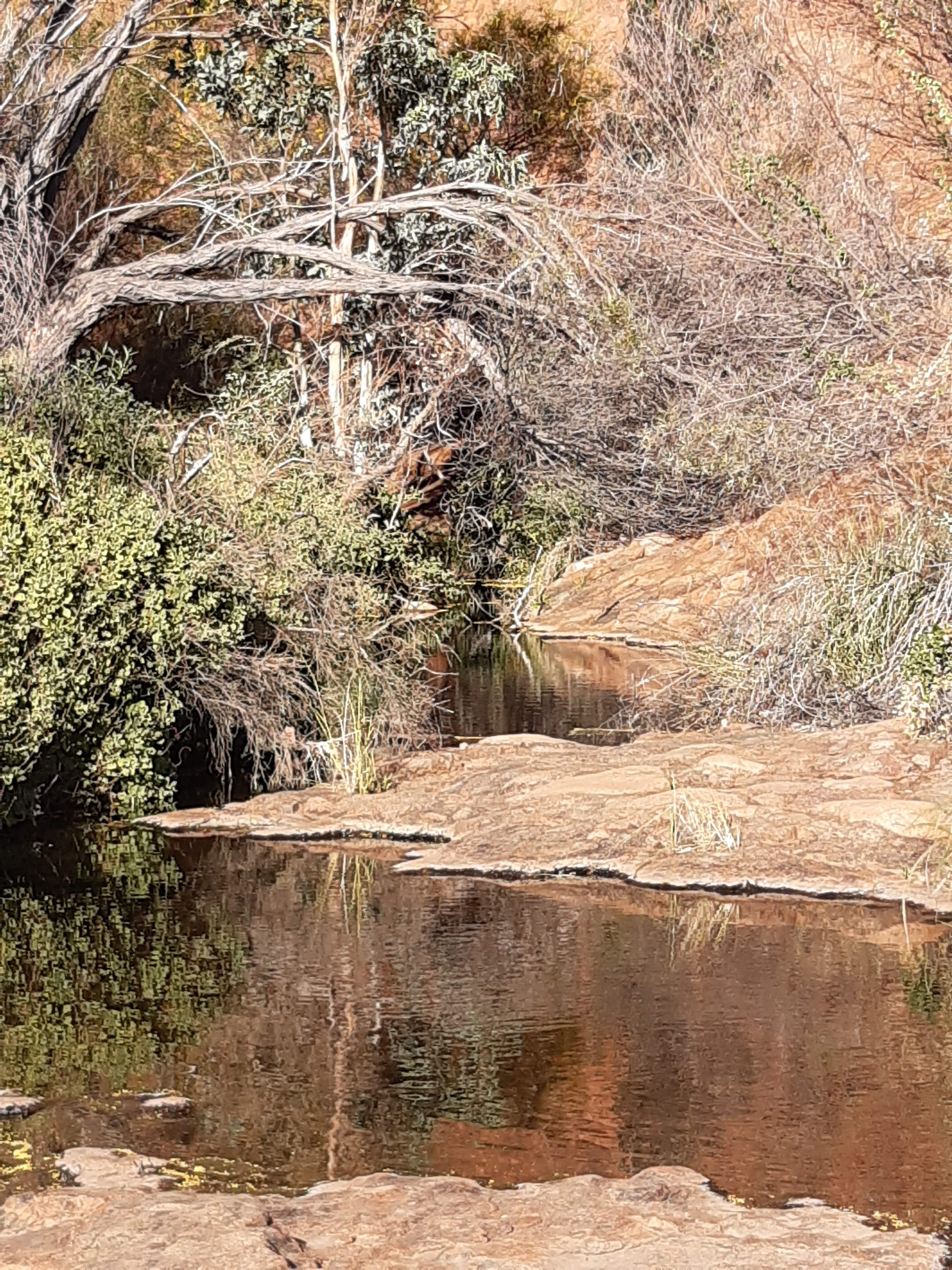
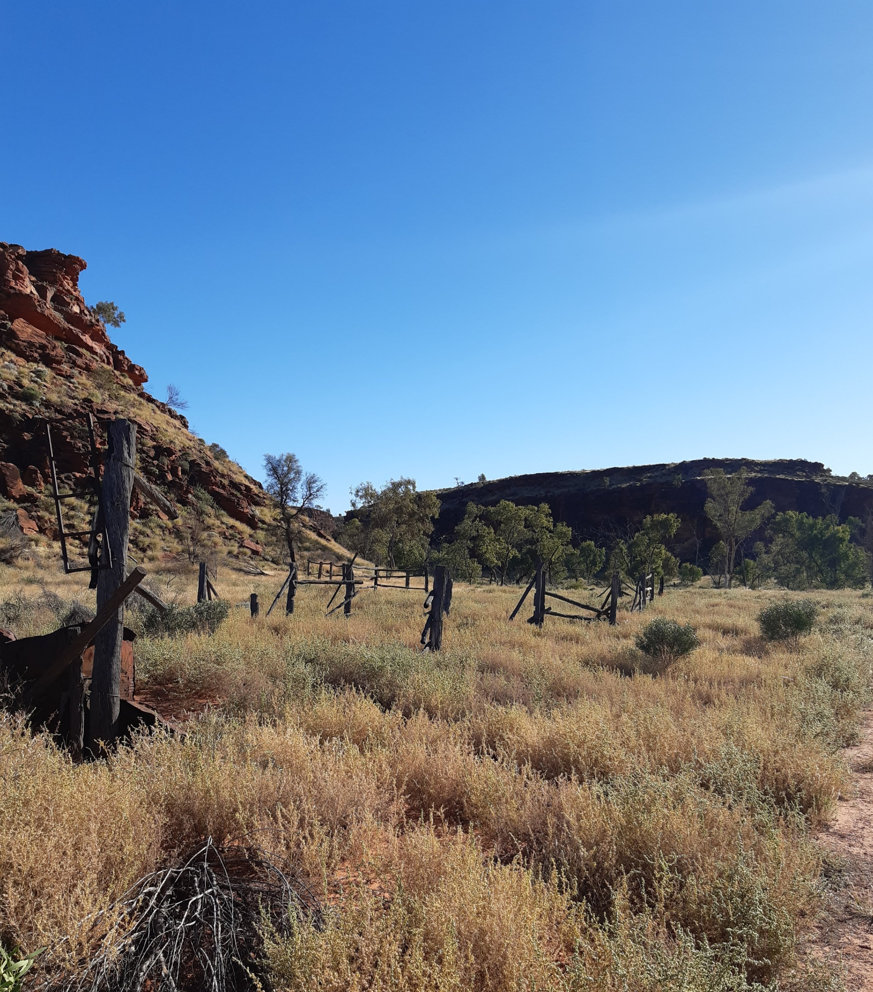
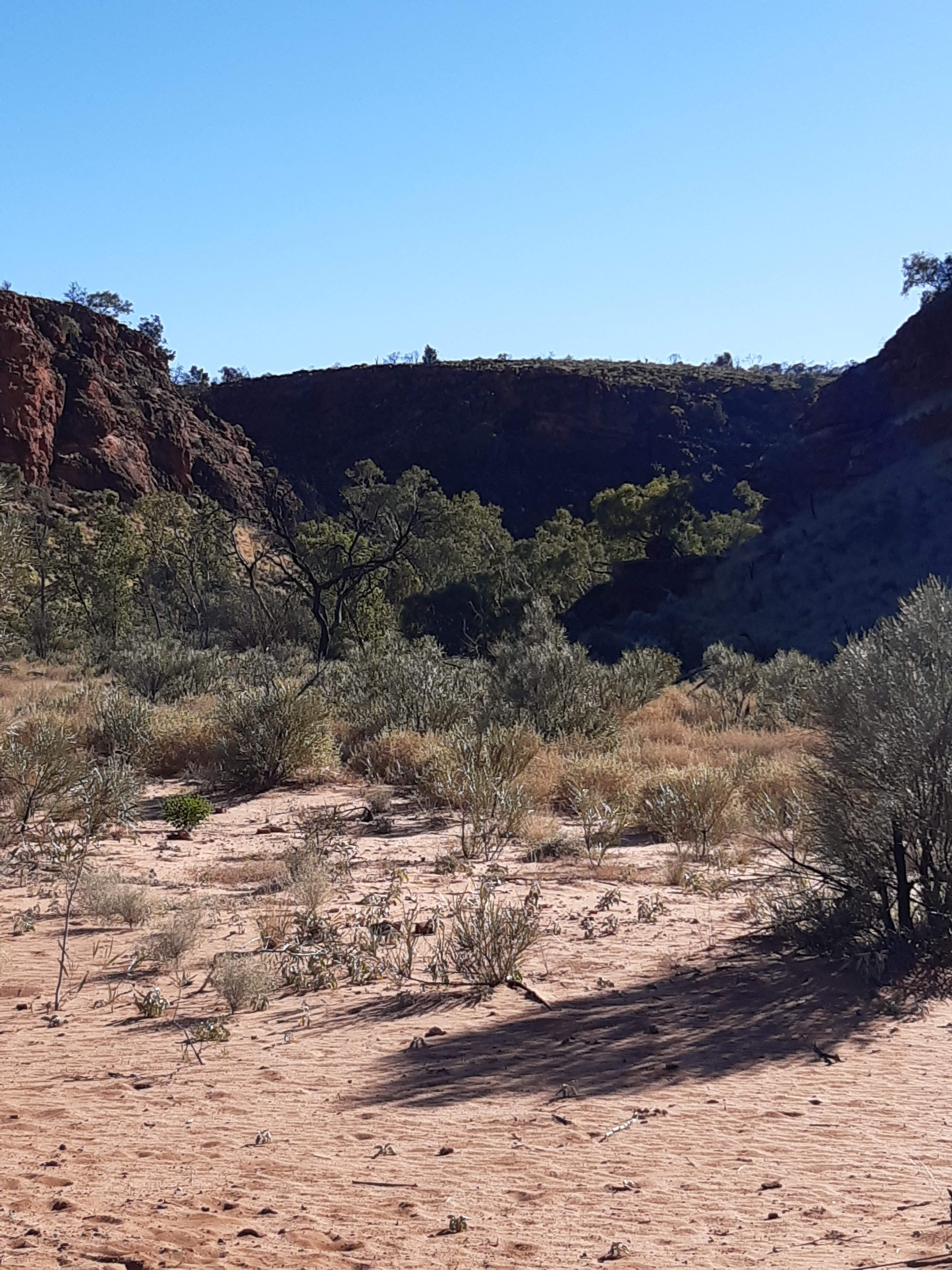
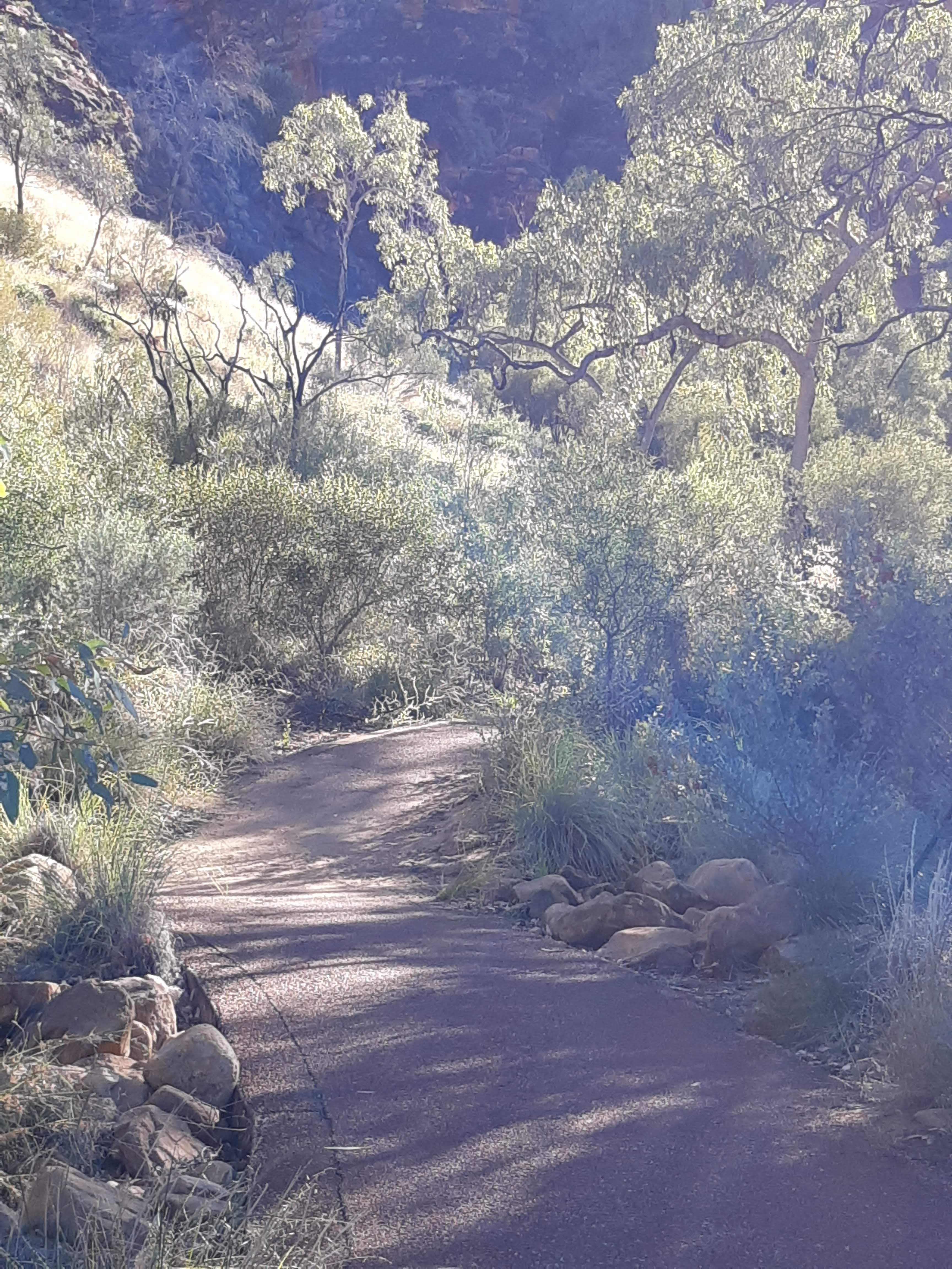
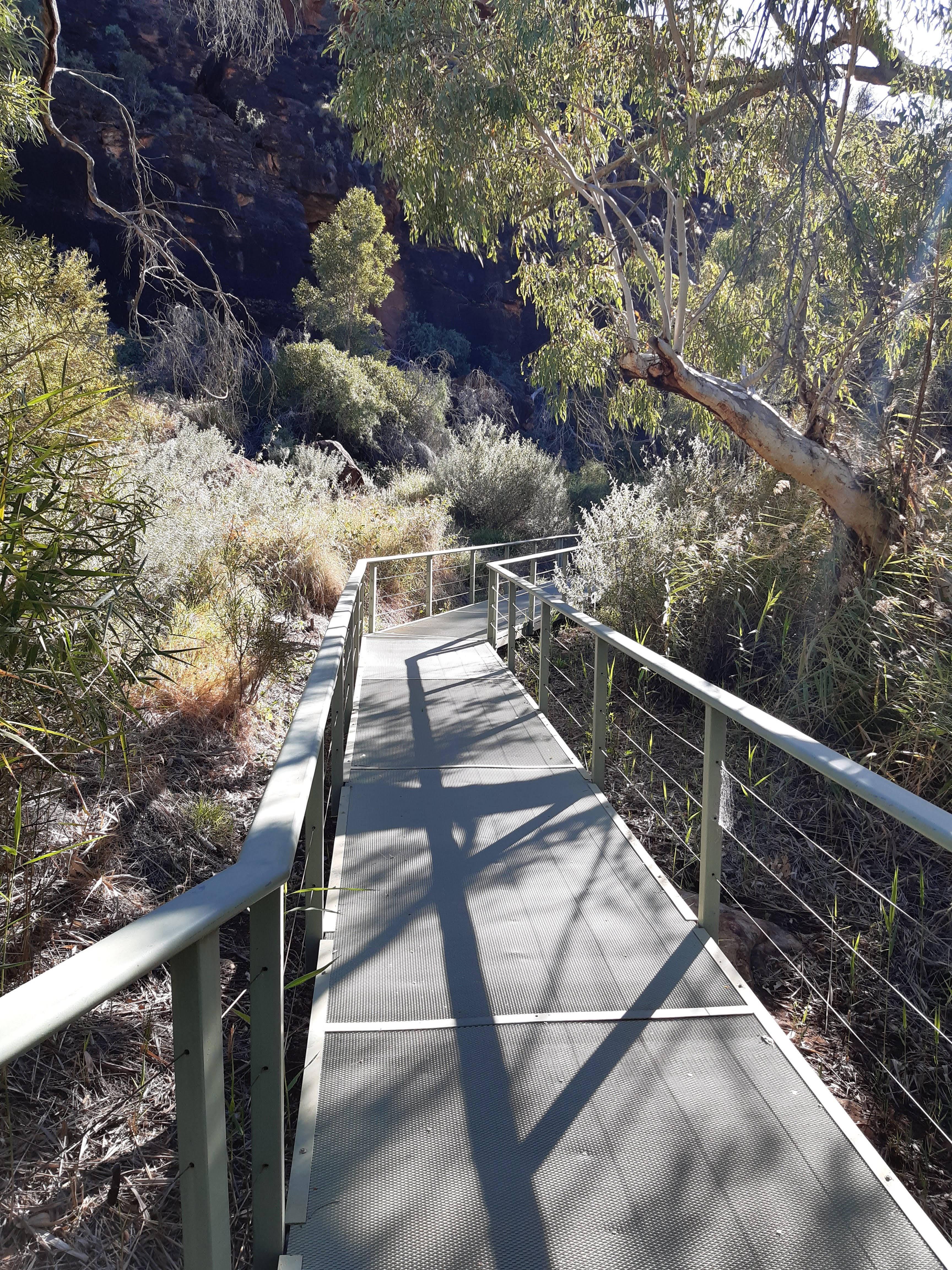
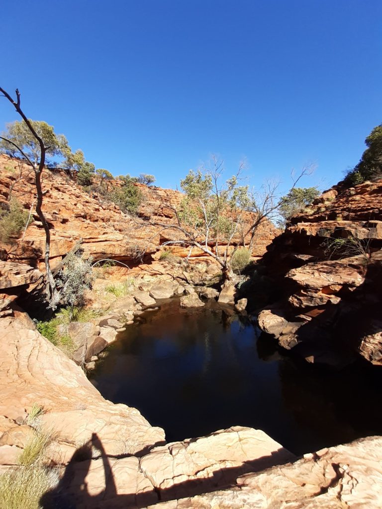
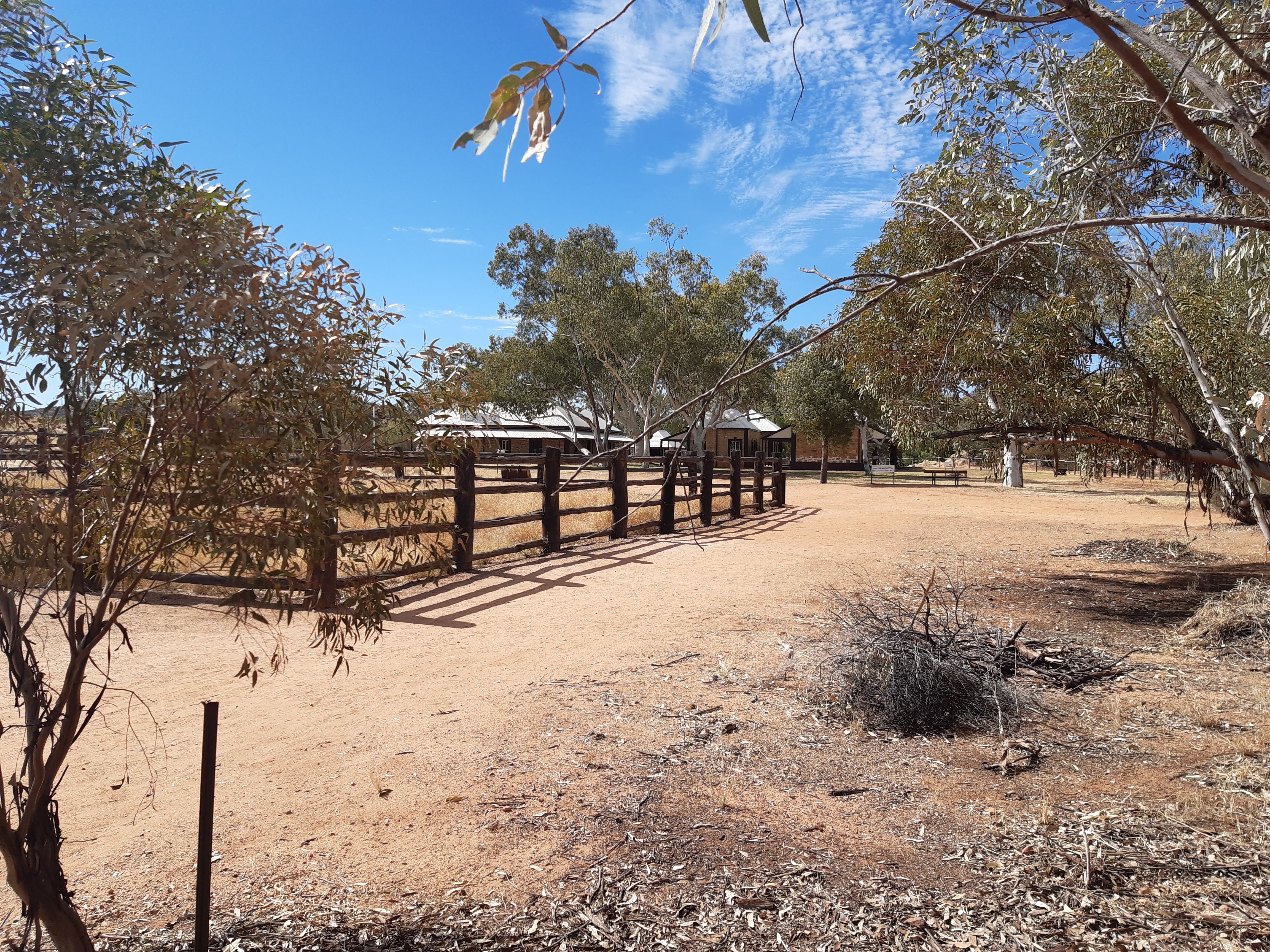
The path was easy and really pleasant. The walk also gave you an insight into the cattle industry which had been here in years gone by. The cattle were introduced into the area in 1896 and used Aboriginal people as stockmen. These yards were built in 1962, using local timber and used before taking the cattle to Alice Springs.Looking into Kathleen GorgeThe path was good and very pleasant to walk on into the Gorge.The approach to the waterhole is a boardwalk and again gives a lovely place to take time and enjoy the environment.Kathleen Springs is a spring fed waterhole and has been looked after by the Matutjara people since the beginning of time. They believe that the spirit of a Rainbow Serpent lives in the deep waterhole and that without its protection the waterhole would soon dry up.
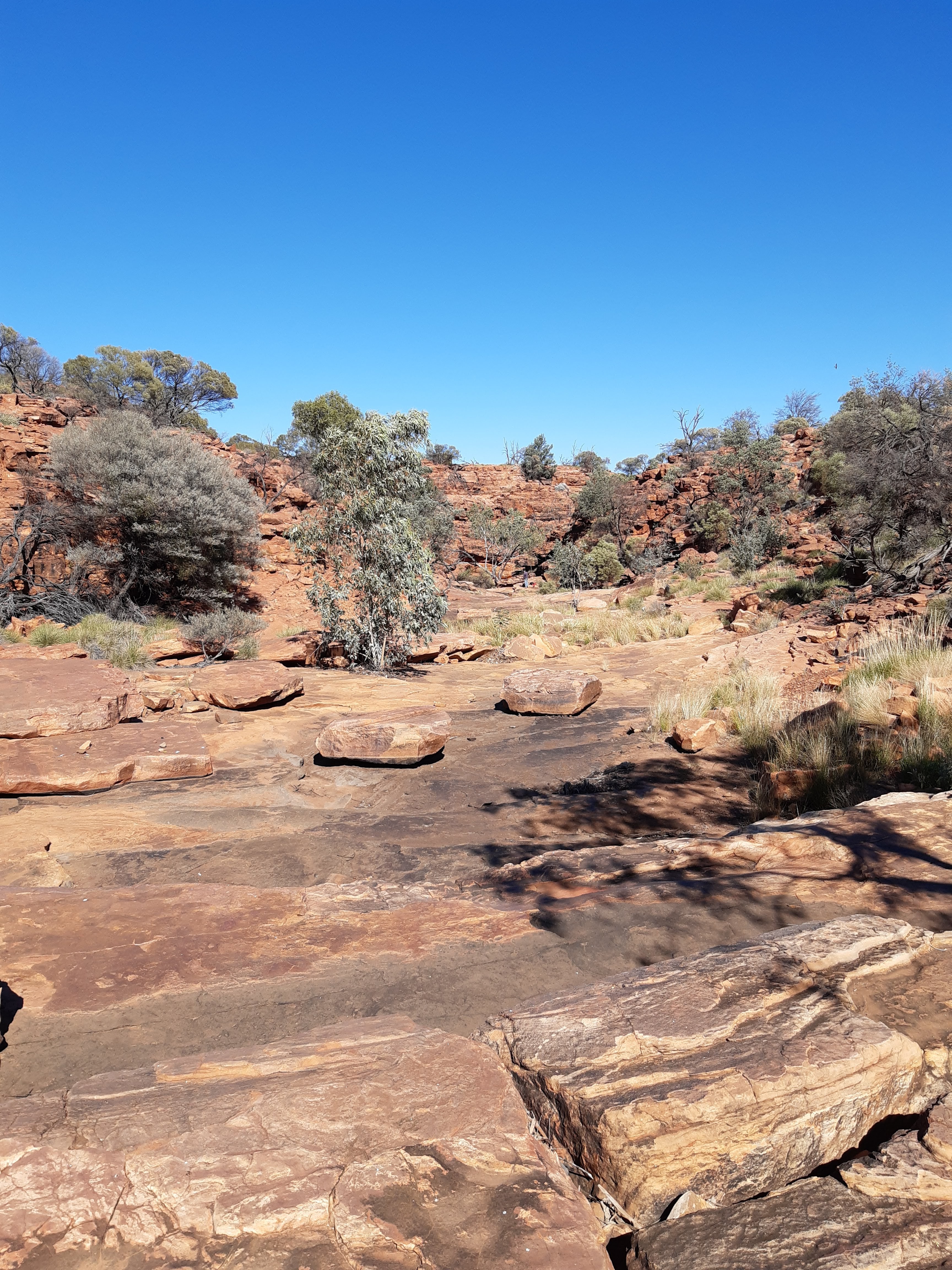
After returning to the carpark, I discovered another track, which I had no known about called the Giles Track. This is a one way track of approximately 22.4kms, which goes from Kings Canyon to Kathleen Springs or vica versa. A one day hike, but is suggested you take two days. The other issue, being a one way track, you would have to arrange for transport at the finishing end. So not having either enough time or planning arranged, I decided to try the track out to the first stop of Wanga Creek, a 4.00km walk, or 8kms round trip for me.
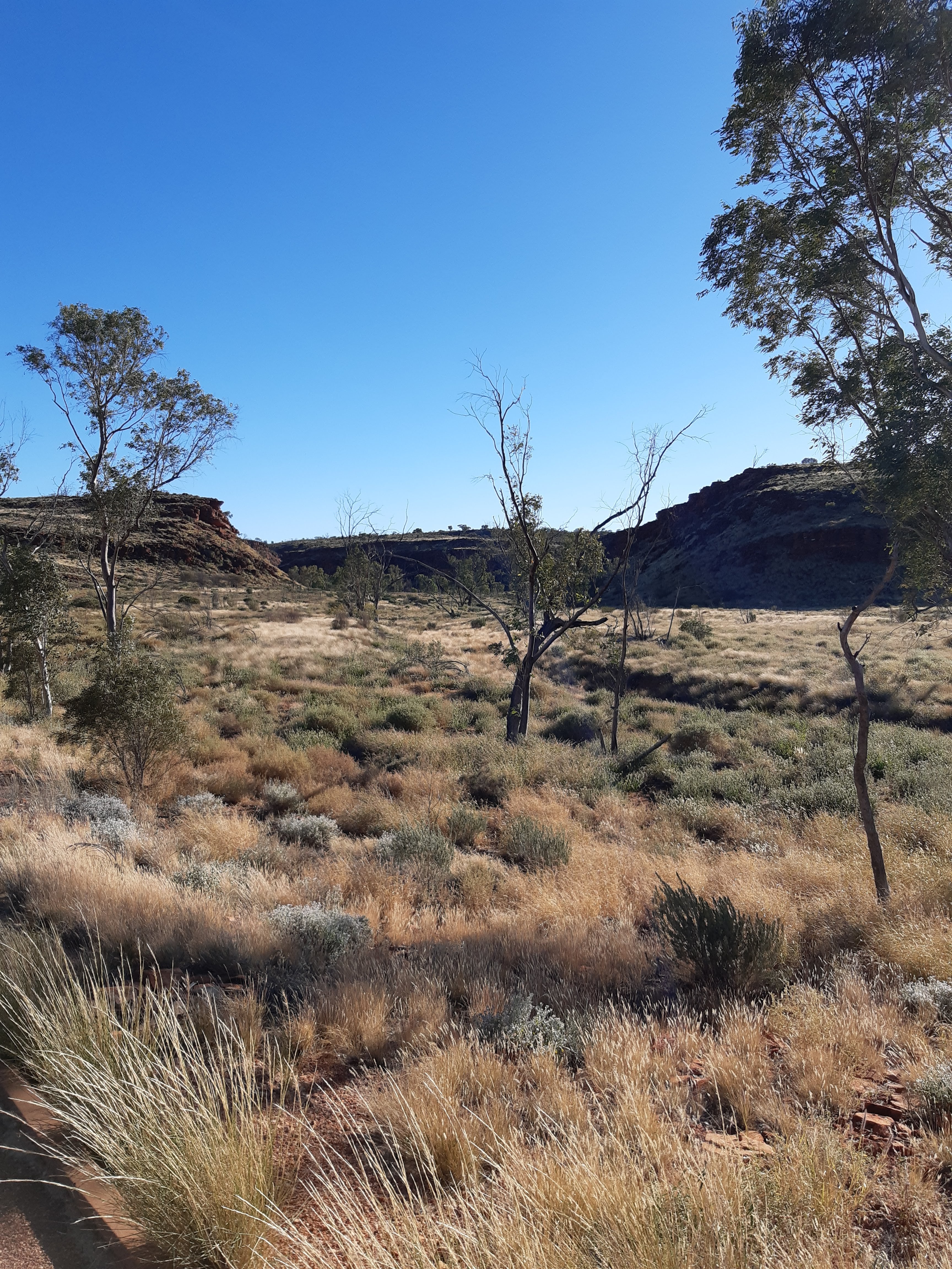
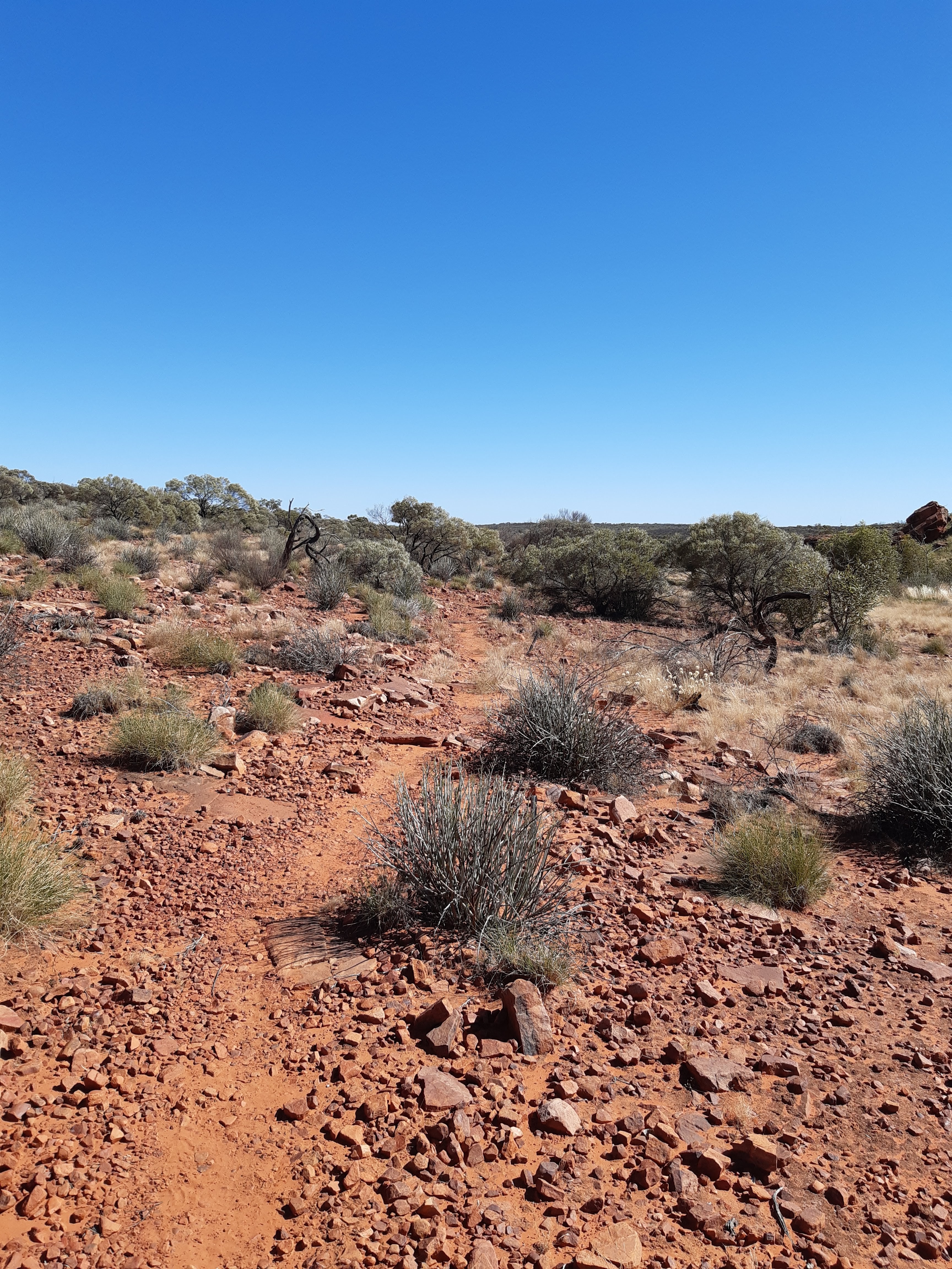
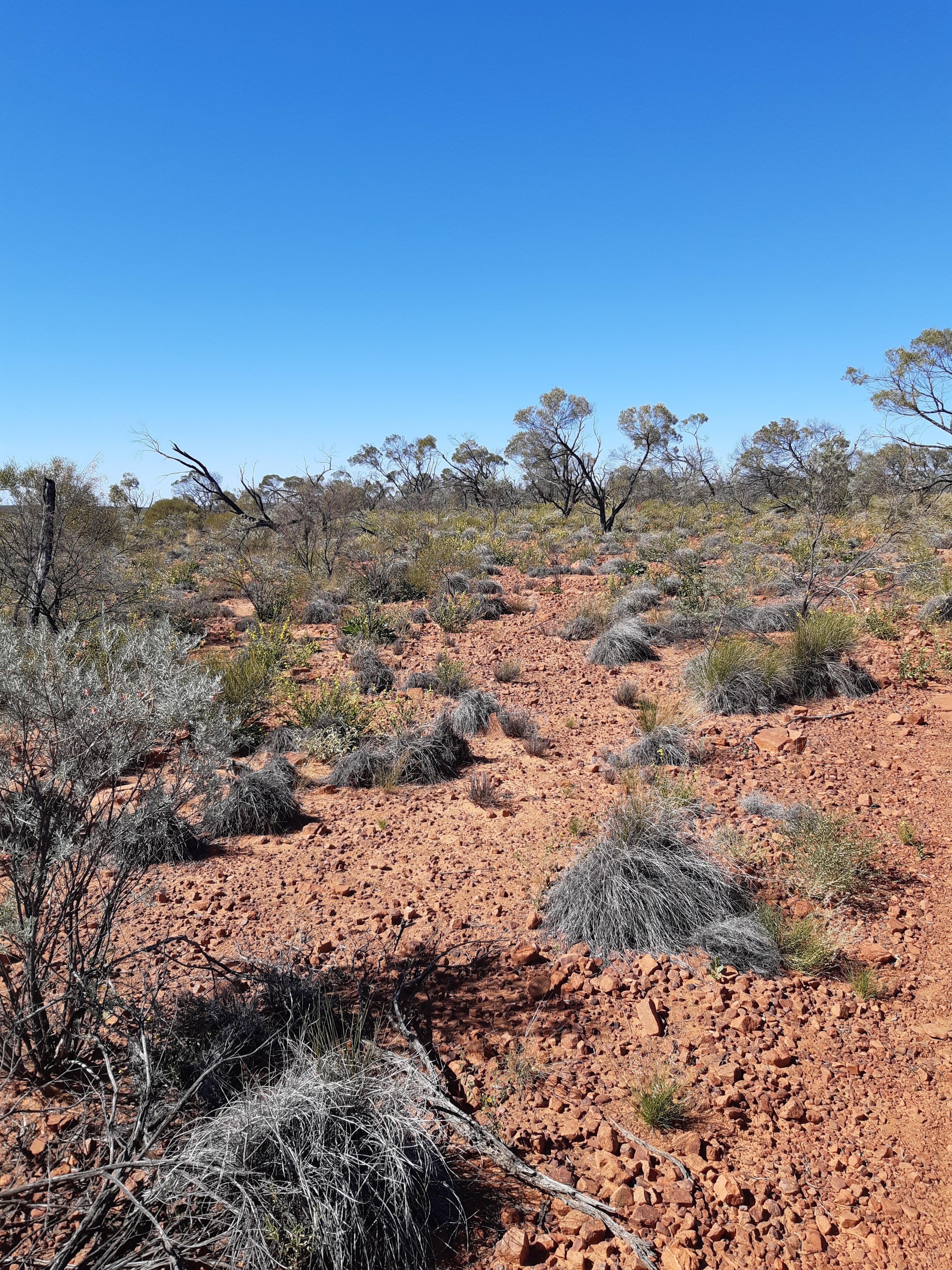
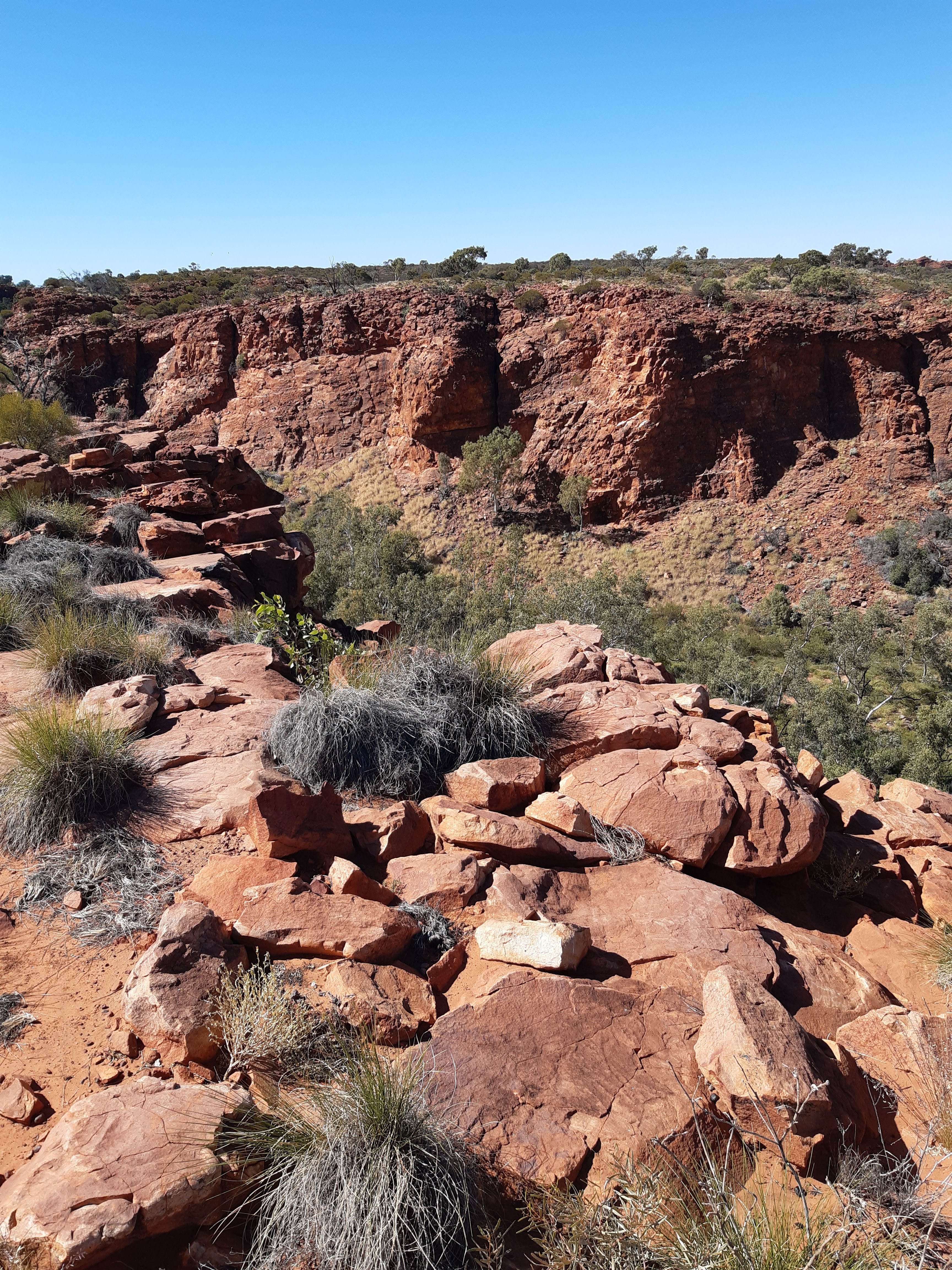
It was great to be out in the bush, just me and the environmentThe track was good, reasonable well marked with marker posts, approximately every 200 metres. However, with the recent rains and subsequent vegetation growth, the track sometimes got a little hidden and I had to track back to the marker post to refind the track. Would not want to lose the track, as it could be easy to get lost.Wanga Creek, a great place to stop at and take in the beautiful environment.On the way back to Kathleen Springs, looking down onto the Kathleen Springs Walk into the waterhole
I would love to go back and complete the Giles Track, I think it would be a wonderful experience and a real challenge. So next day I headed back at the Erldunda Road House, a drive of approximately 300kms and then onto Alice Springs a drive of another approximatley 200kms.
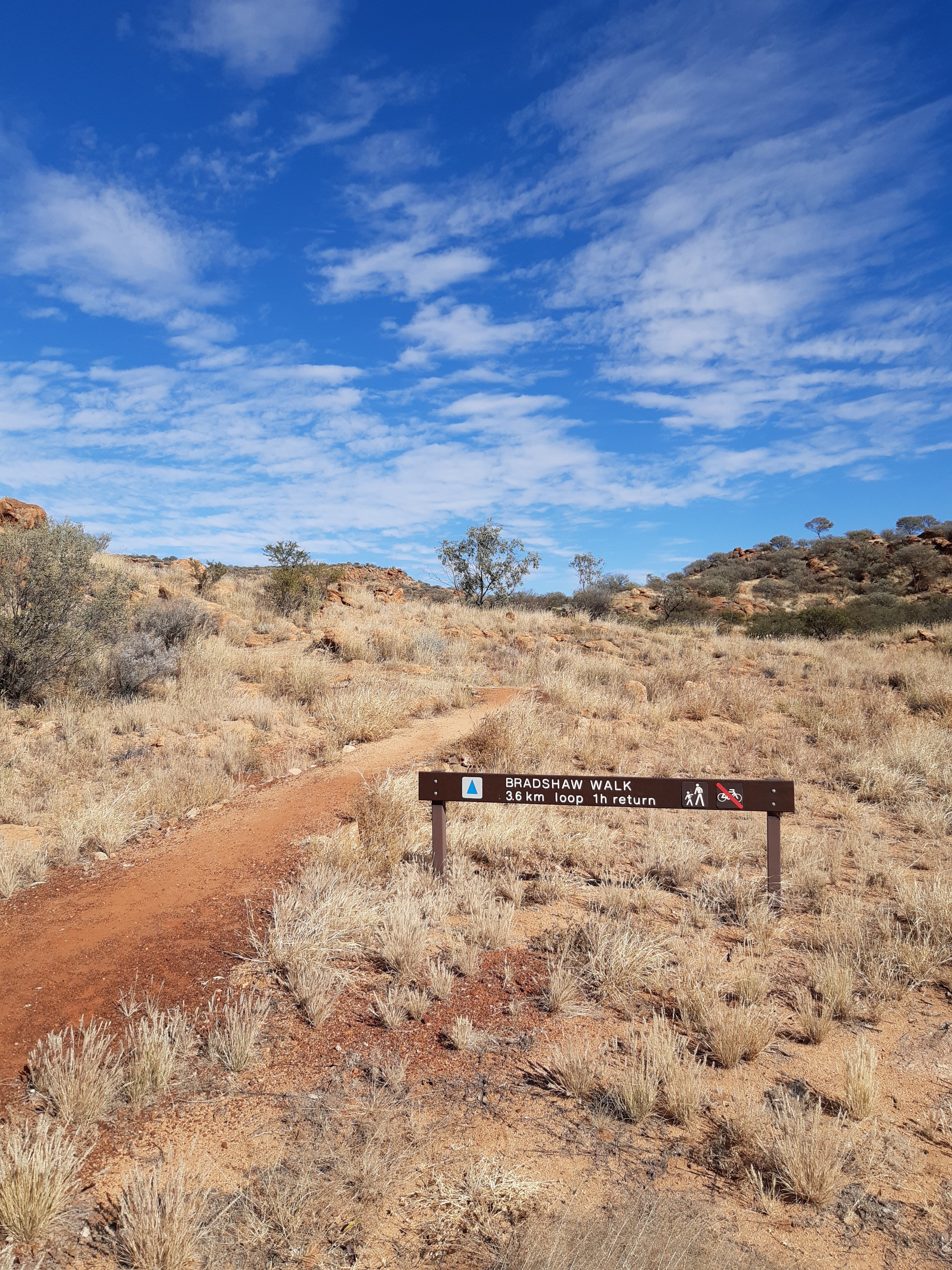
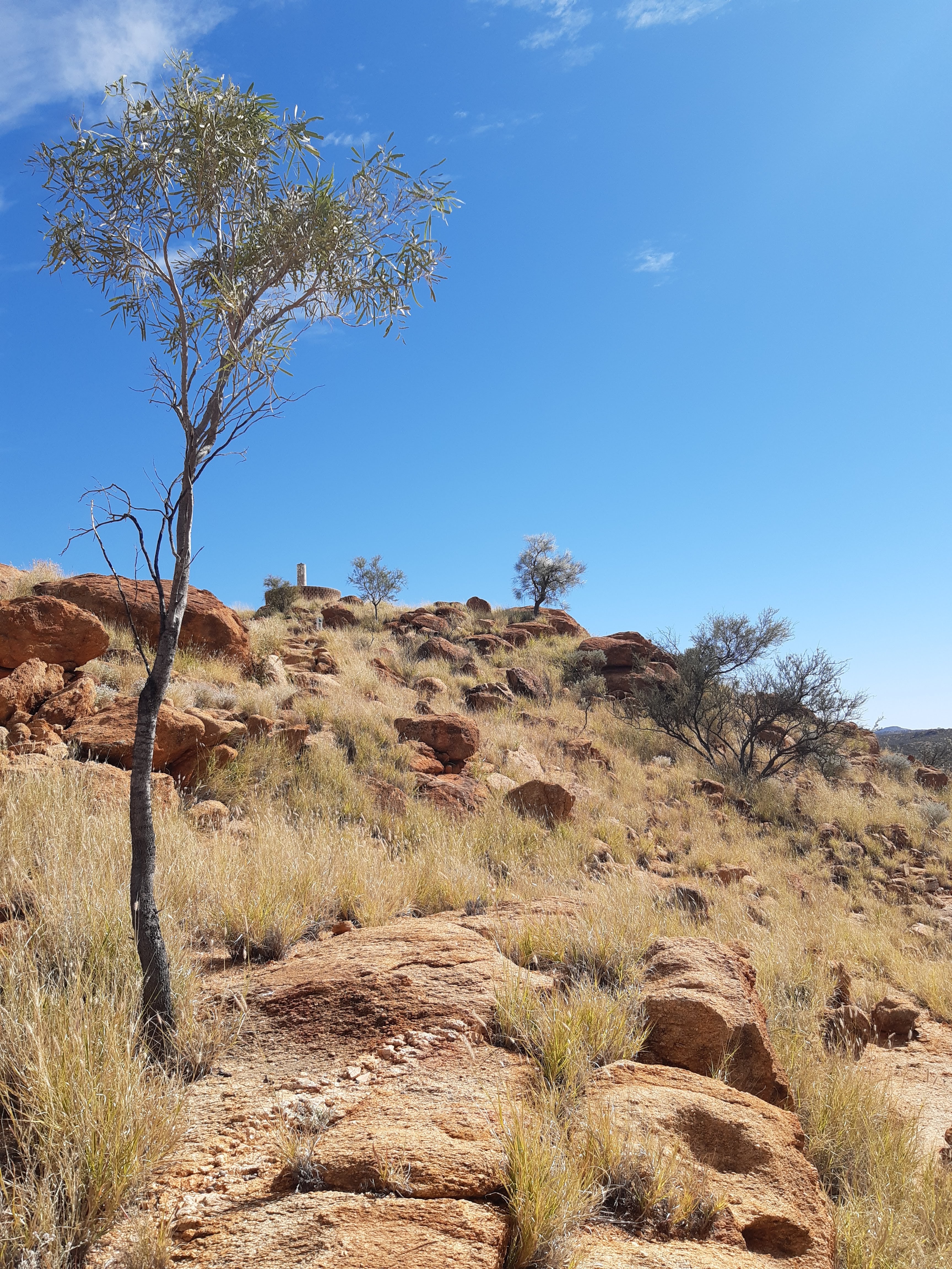
Next morning, I headed out the Telegraph Station, a place my wife and I used to visit most evenings when we lived in Alice Springs in 2005/6 to walk the trails there. The Telegraph Station was established in 1871, to relay messages between Darwin and Adelaide. My obective however, was to walk a couple of trails around the station.
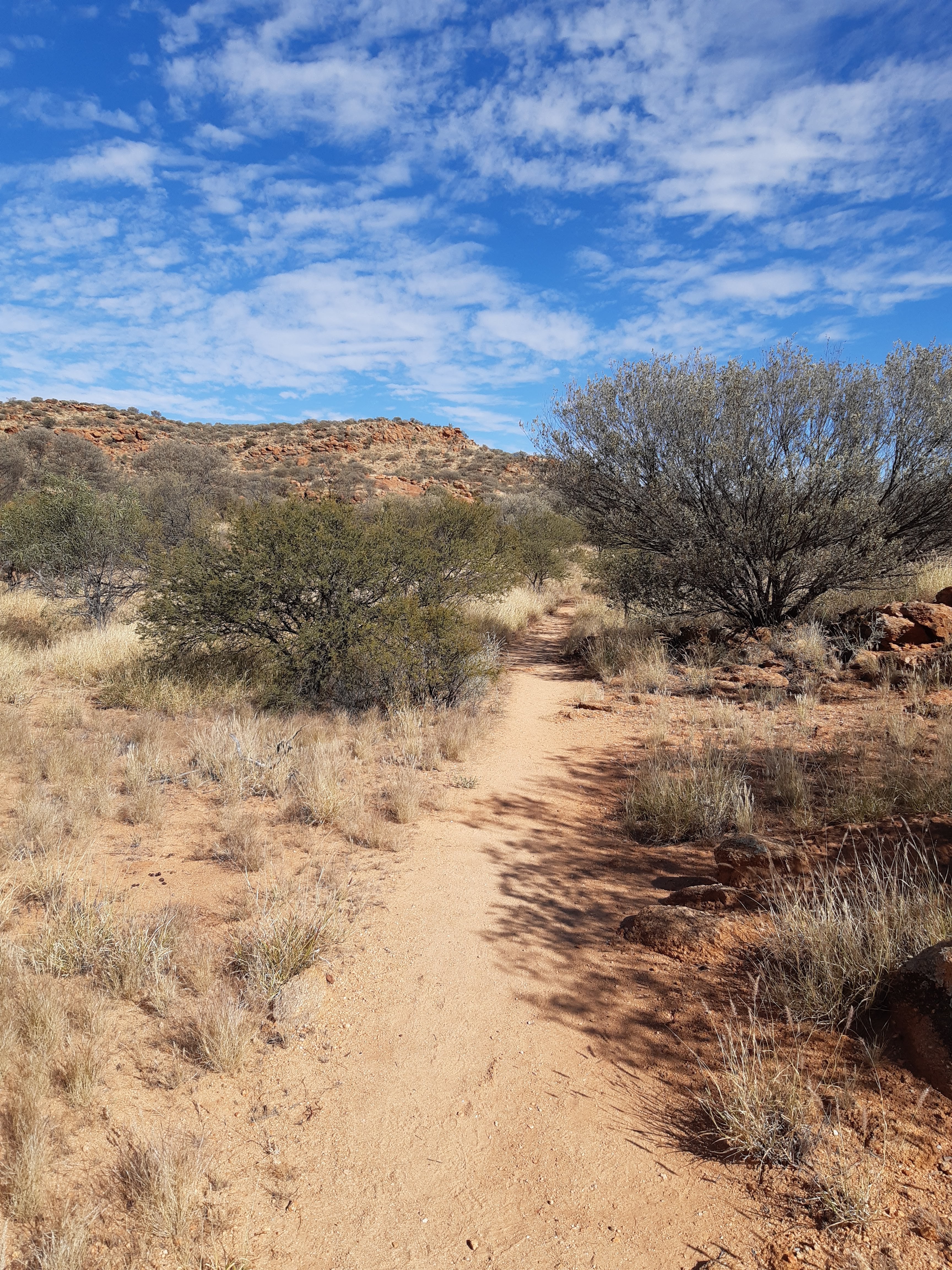
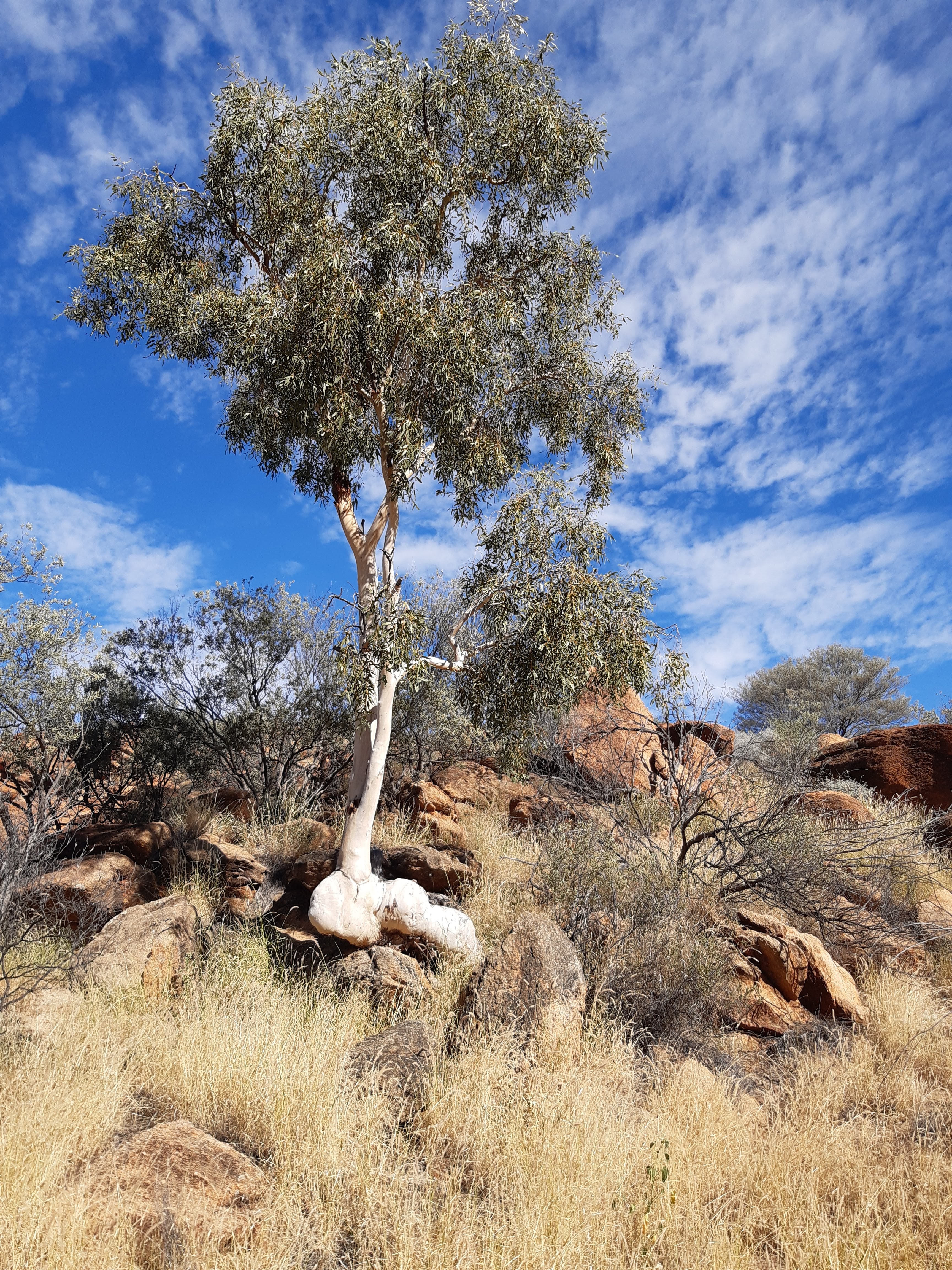
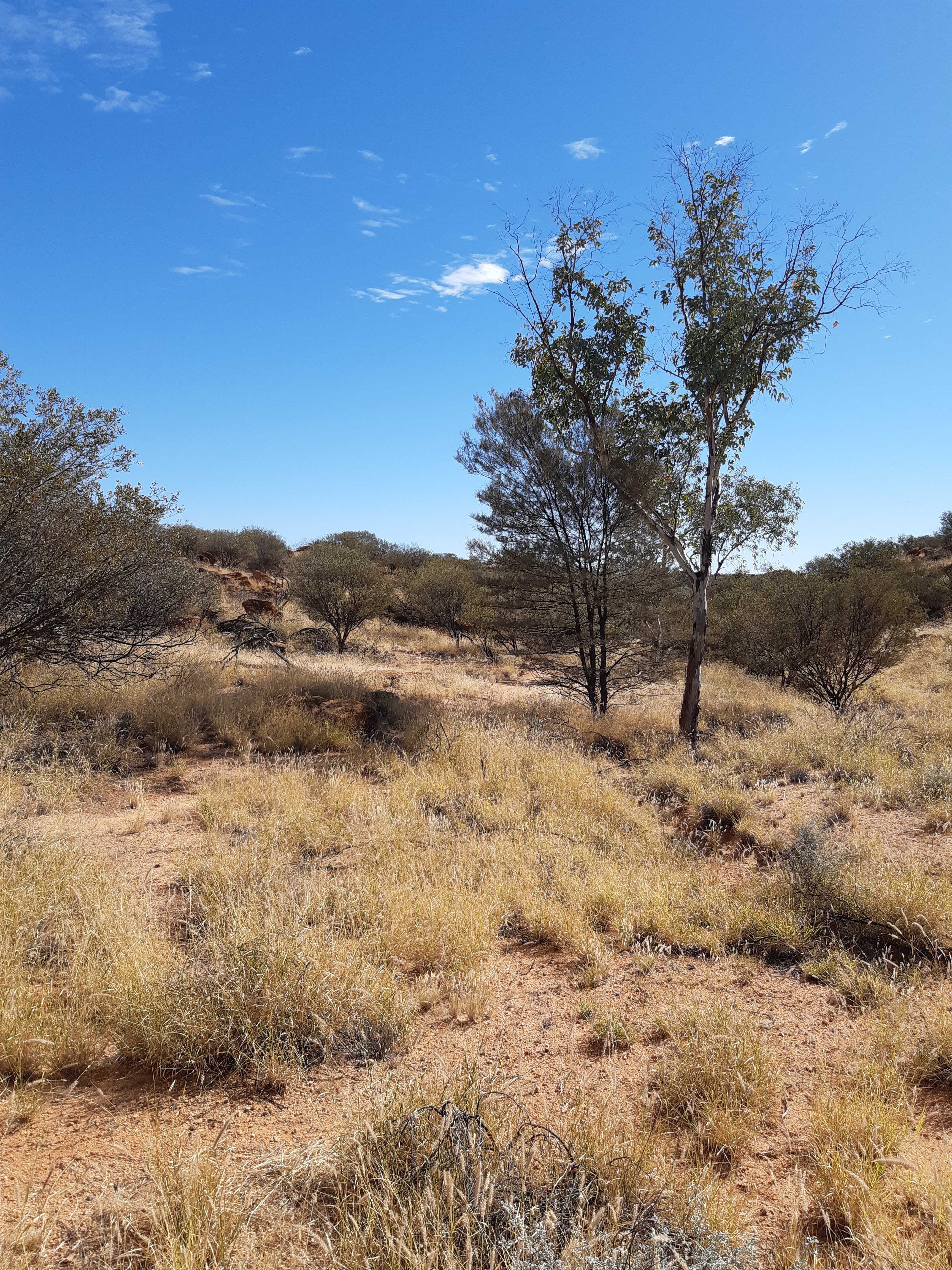
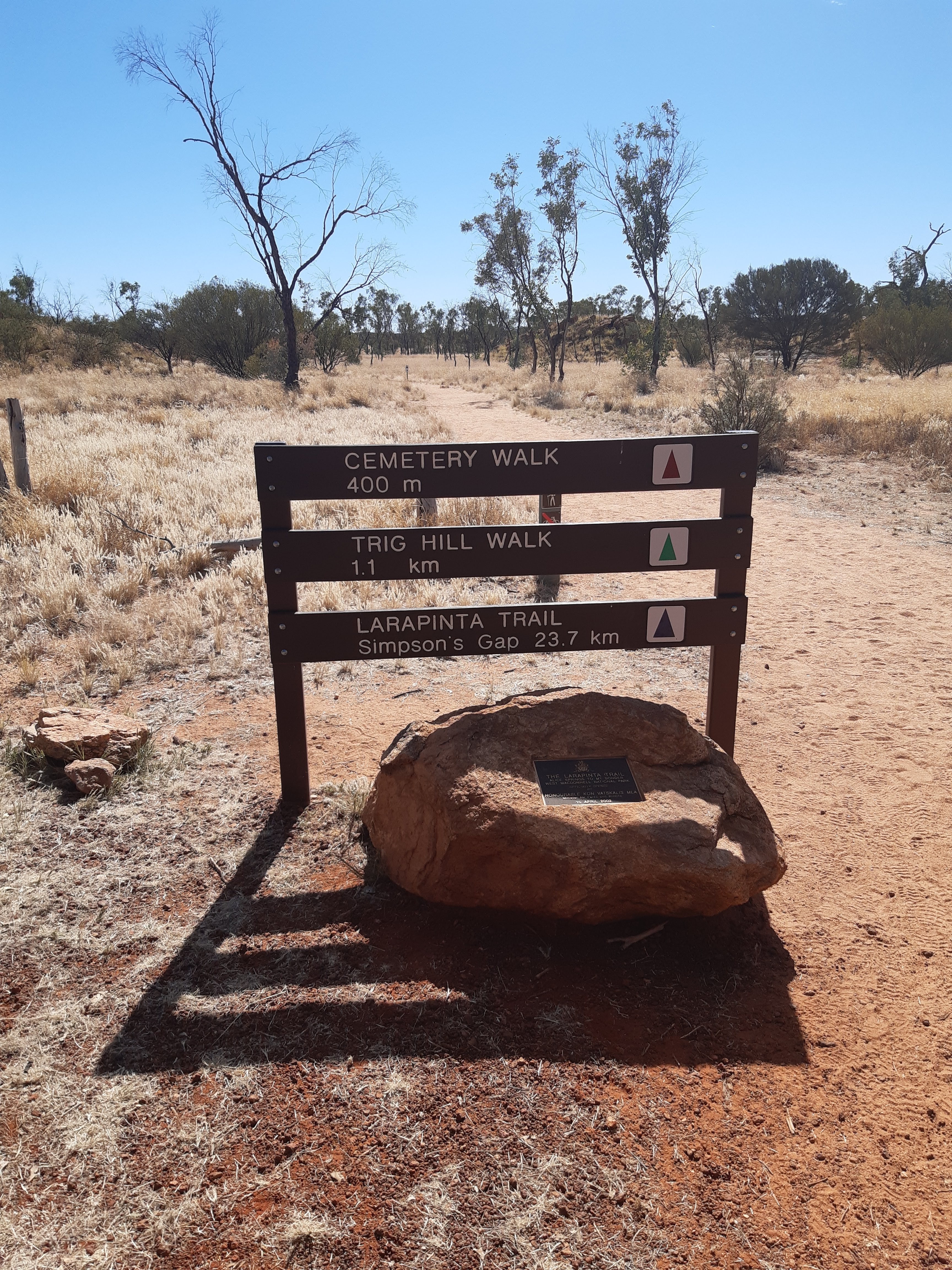
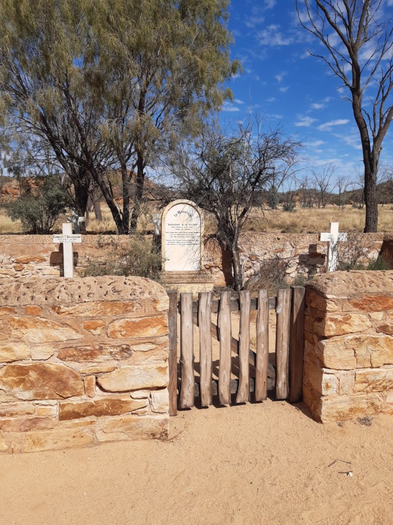
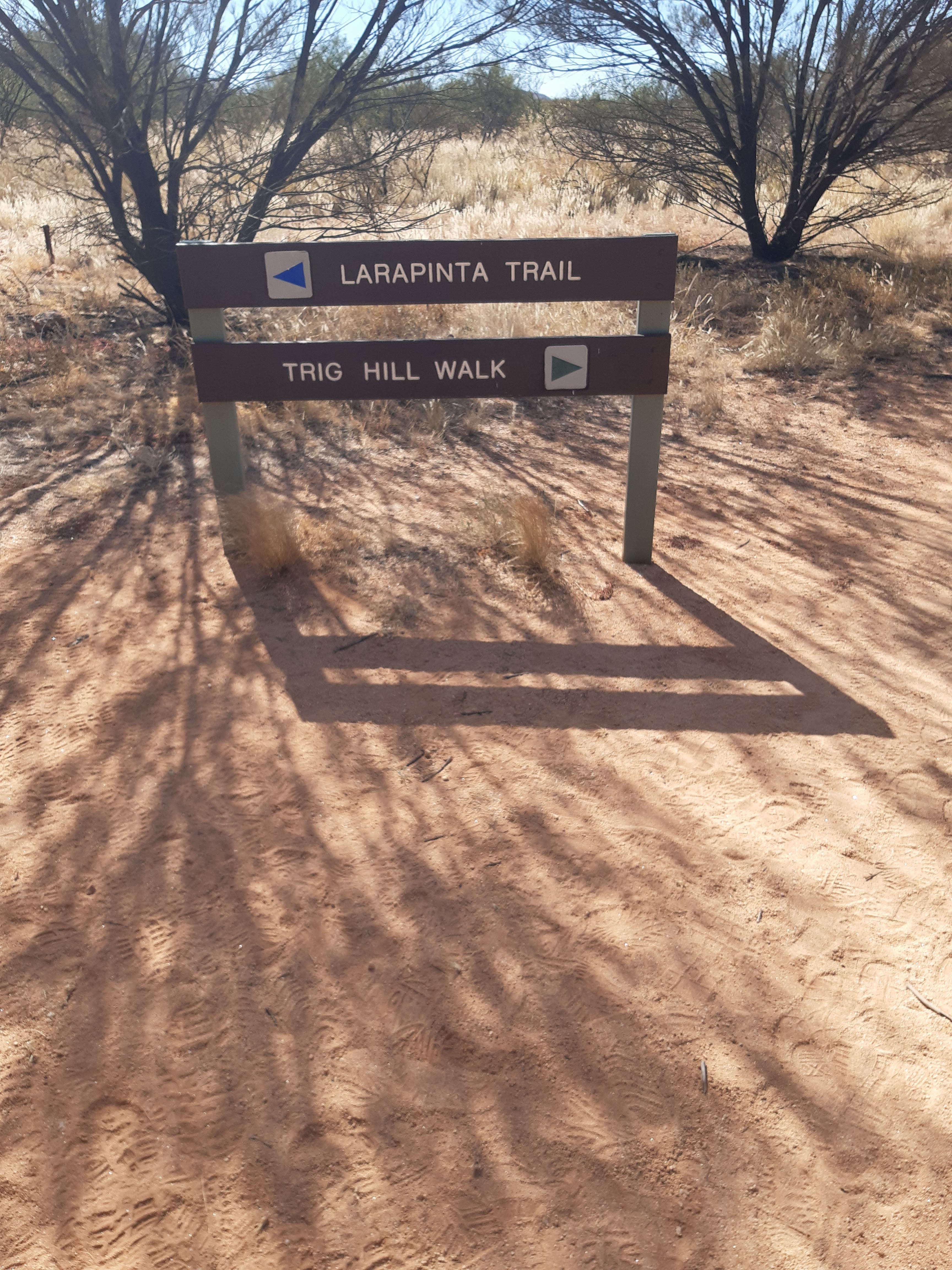
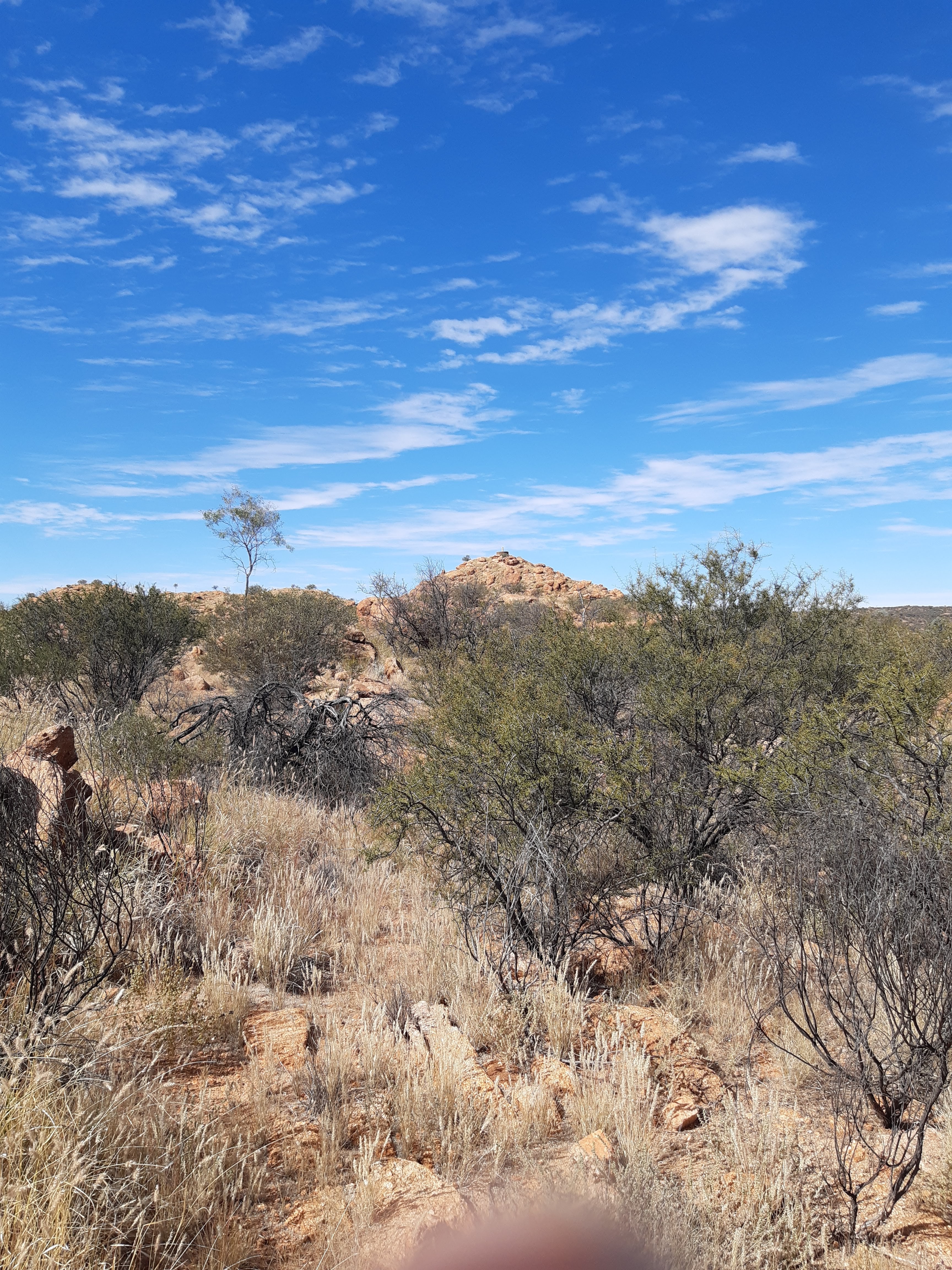
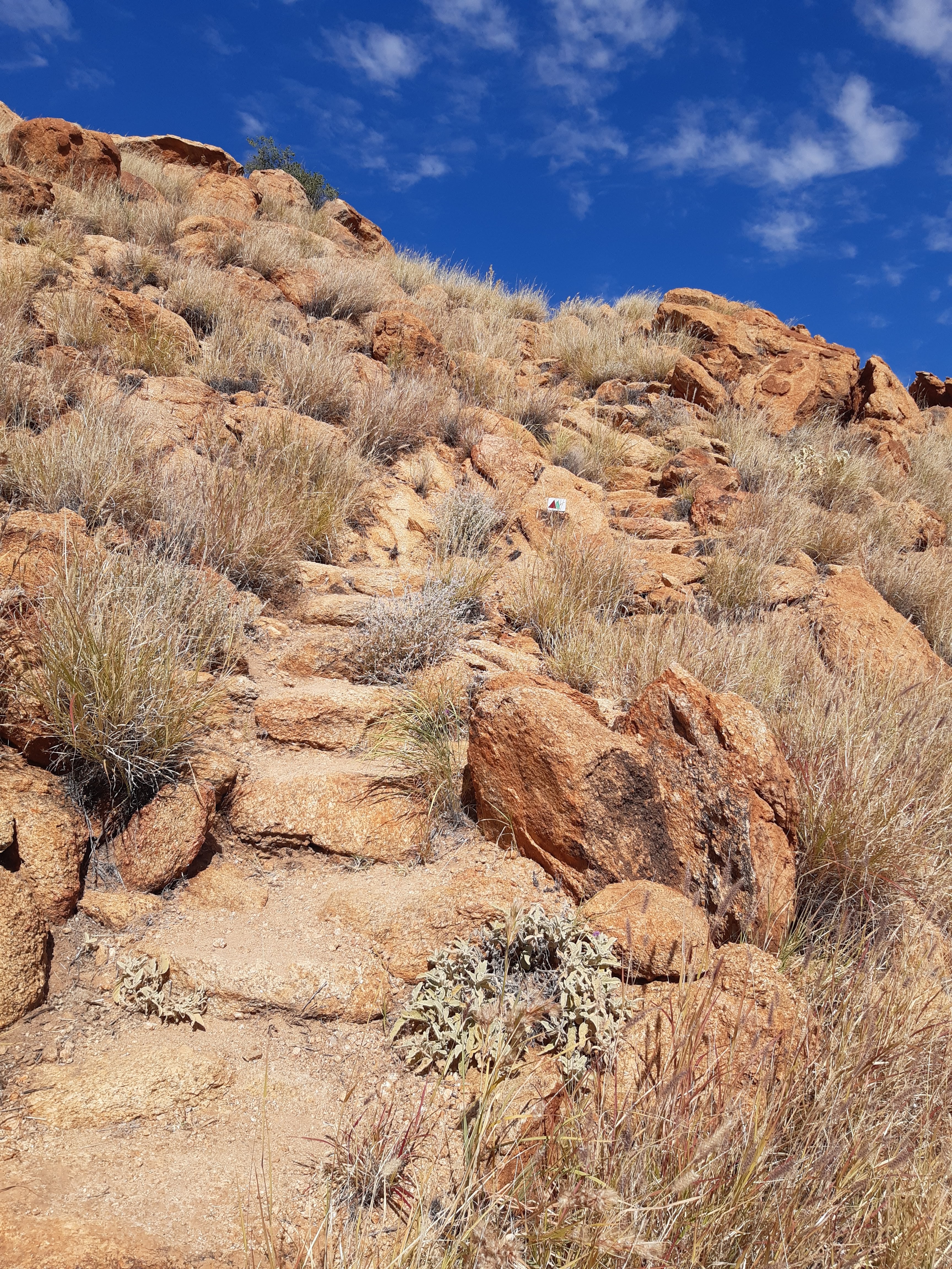
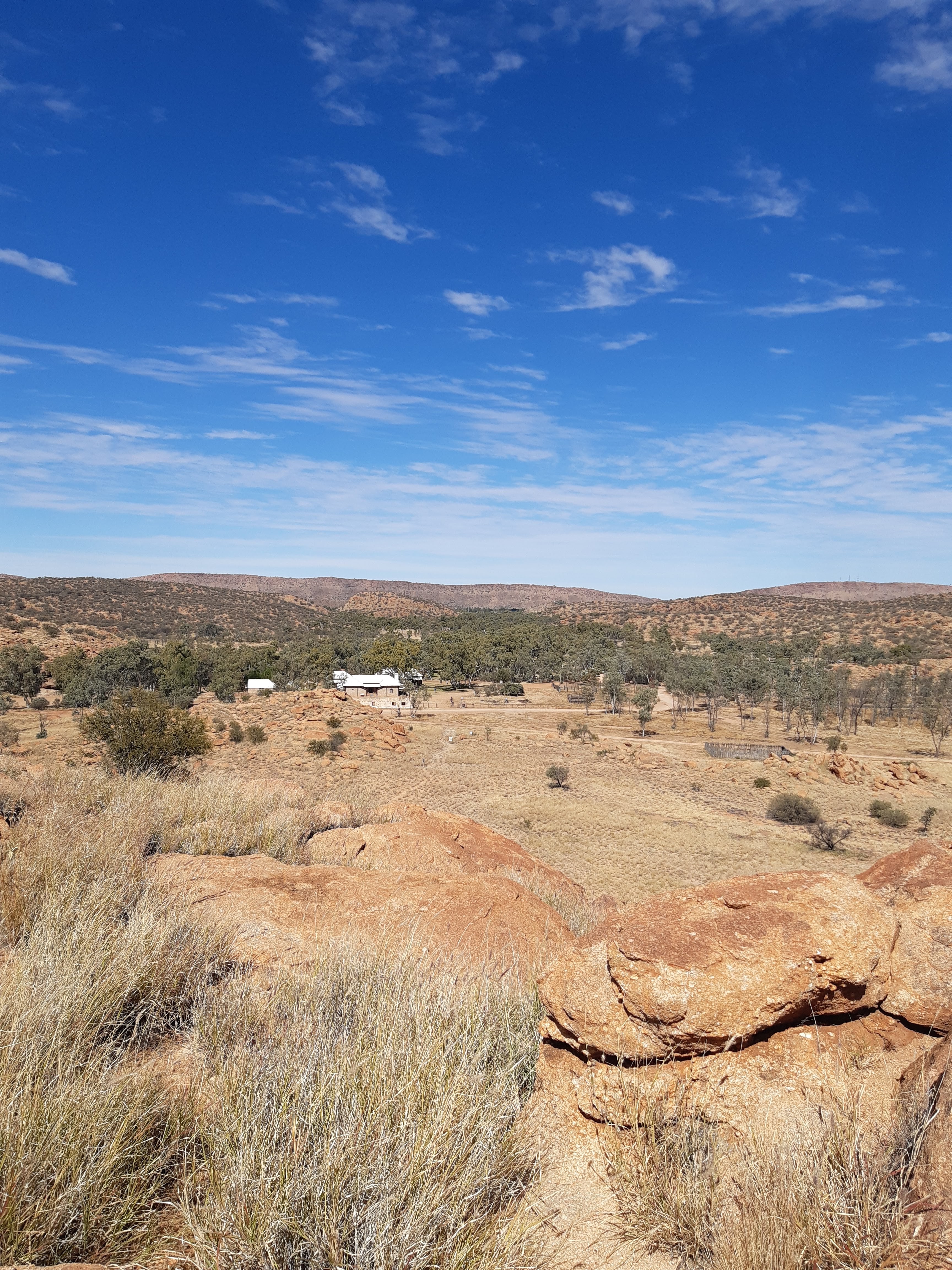
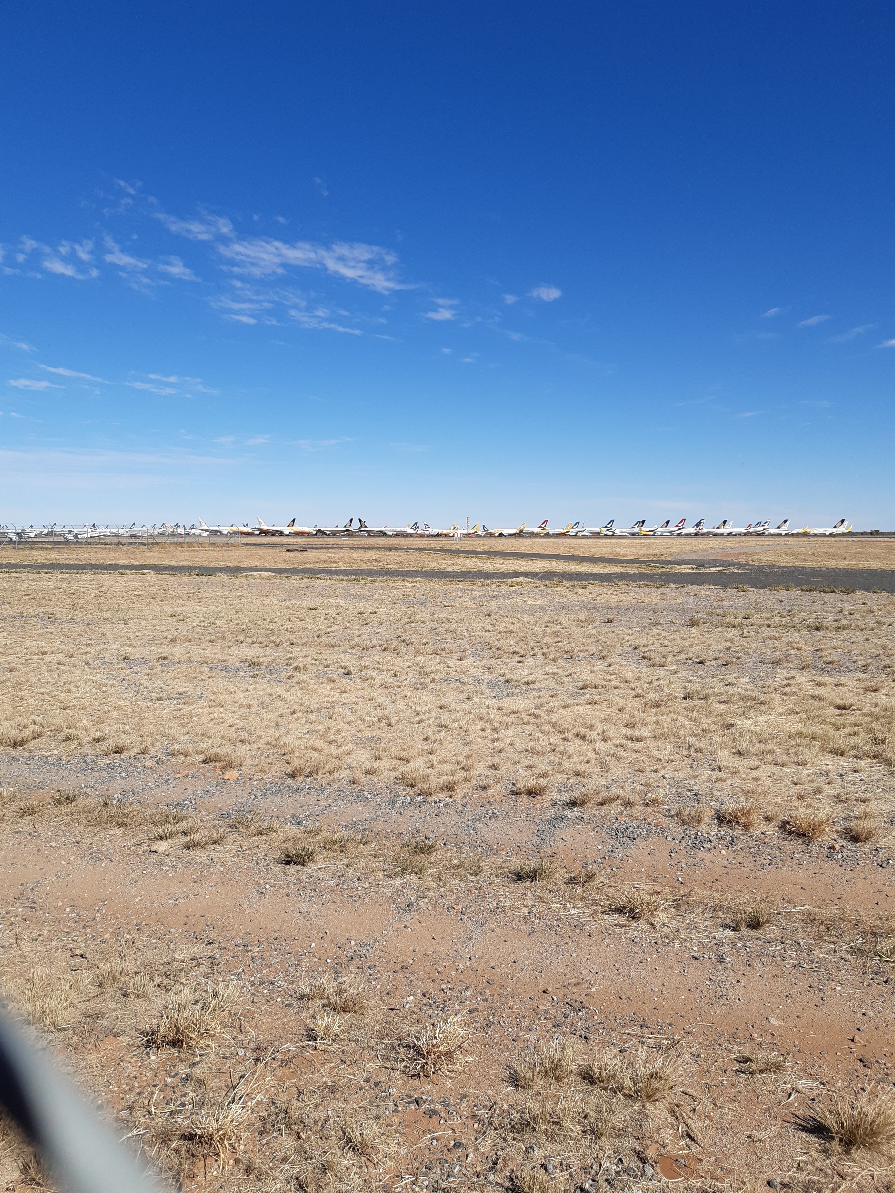
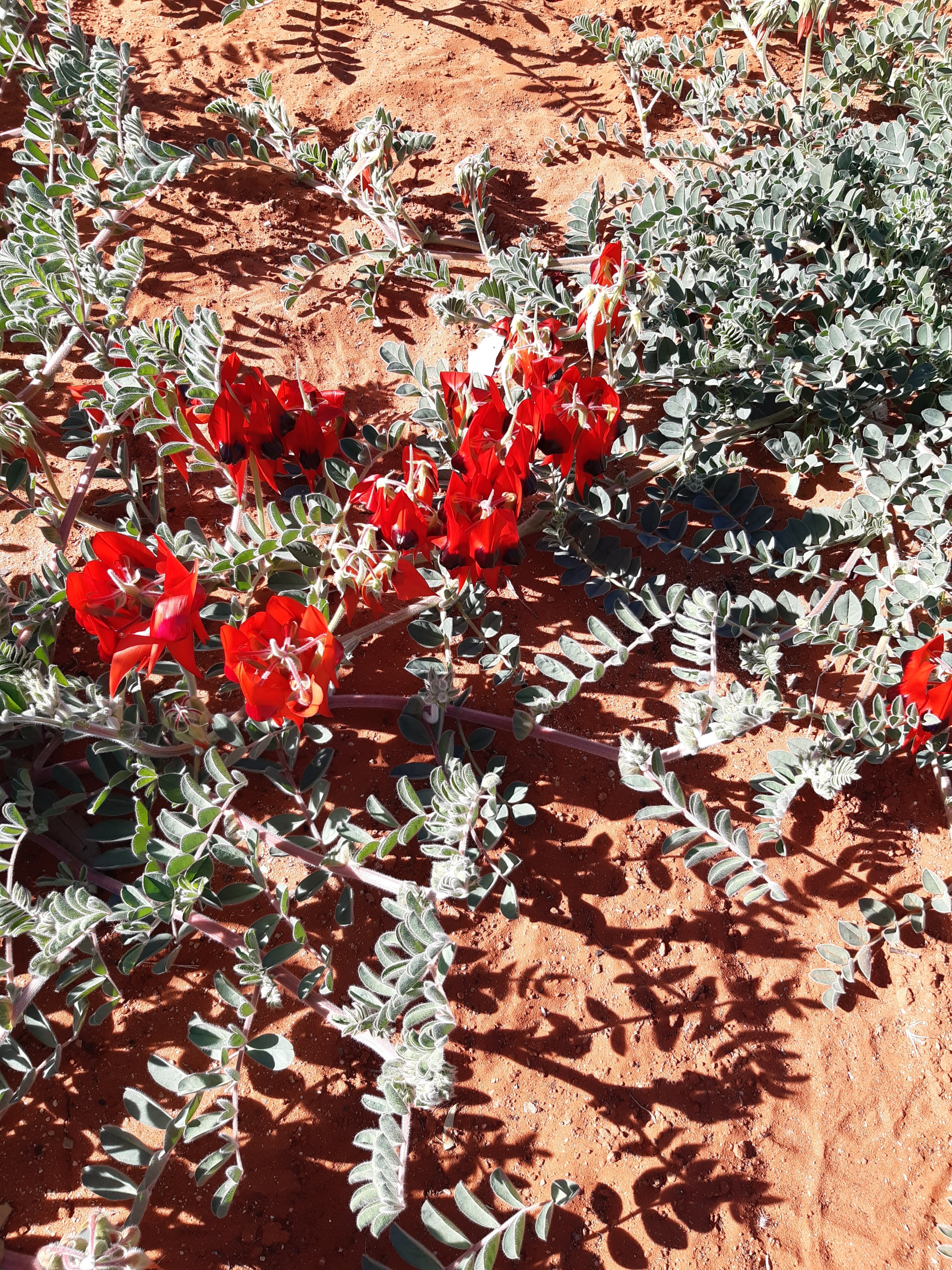
A favourite of ours was the Bradshaw Trail a 3.6kms loop through the bush and then back to the Telegraph Station.The track is well used and a pleasure to walk, so close to the centre of Alice SpringsA picture of survivalIt was a great way to finish our day and still is a great place to be.After finishing the Bradshaw Track and returning to the Telegraph Station, I decided to do the Trig Hill Walk. I had started the Larapinta Trail at this point some years ago and felt good about being here again. The first point you come to is a Cemetery. Whilst there are 5 graves here, only two have inscriptions, being Ernie Bradshaw who died in 1901 aged 27 and Ernest Flint, who died in 1887 aged 33. Have to admit, I really wanted to turn left and head off down the Larapinta Trail, but again time and lack of equipment were my enemy. So I turned right and headed up the Trig Hill path.The view to Trig Hill, not very high, but certainly a good spot for a view across the area.The path up to the top of Trig Hill, looks hard, but is quite easyThe view back down from the top of Trig Hill looking towards the Telegraph StationLooking back up towards the Trig Point, after coming down the pathFinishing the walk, I returned to the Telegraph Station and then headed off for my last night in Alice Springs, a very cold one.On arriving at Alice Springs airport for my flight out, I was reminded of the plight of the airline industry with aircraft being mothballed there. I counted 89 planes, I am sure I missed some and in conversation with people, I was advised that many planes had actually left. My spirit was however lifted, when I spotted some Sturt Desert Peas in the airport car park, so lovely.
In summary, I had a great time in the Red Centre of Australia. Anyone visiting Australia from abroad, certainly should take some time to visit the area. Alice Springs has many other attractions to visit, including Simpsons Gap, Stanley Chasm, Chambers Pillar etc. And of course a great golf course, but details of my round there are not worth mentioning.